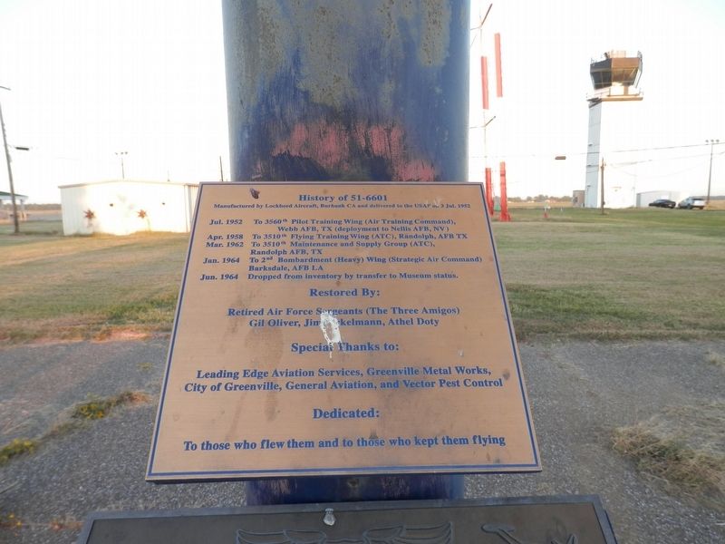
History of the 51-6601
Manufactured by Lockheed Aircraft, Burbank CA and delivered to the USAF on: 3 Jul. 1952.
Jul. 1952-----To 3560th Pilot Training Wing (Air Training Command),Webb AFB, TX (deployment to Nellis AFB, NV)
Apr. 1958-----To 3510th Flying Training Wing (ATC), Randolph, AFB, TX
Mar. 1962-----To 3510th Maintenance and Supply Group (ATC), Randolph AFB, TX
Jan. 1964-----To 2nd Bombardment (Heavy) Wing (Strategic Air Command) Barksdale, AFB, LA
Jun. 1964-----Dropped from inventory by transfer to Museum Status.
Restored by:
Retired Air Force Sergeants (The Three Amigos)
Gil Oliver, Jim Pickelmann, Athel Doty.
Special Thanks To:
Leading Edge Aviation Services, Greenville Metal Works,
City of Greenville, General Aviation, and Vector Pest Control
Dedicated:
To those who flew them and to those who kept them flying.
Topics. This historical marker is listed in this topic list: Air & Space.
Location. 33° 28.863′ N, 90° 59.455′ W. Marker is in Greenville, Mississippi, in Washington County. Marker is at the intersection of Airport Boulevard and Fifth Street on Airport Boulevard. Touch for map. Marker is in this post office area: Greenville MS 38701, United States of America. Touch for directions.
Other nearby markers. At least 8 other markers are within 6 miles of this marker, measured as the crow flies. Lockheed T-33A (here, next to this marker); Symbols Tell Stories
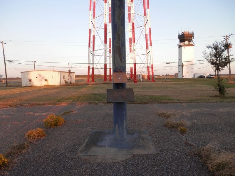
More about this marker. Eastern Terminus of Airport Boulevard under the plane.
Related marker. Click here for another marker that is related to this marker.
Credits. This page was last revised on October 23, 2020. It was originally submitted on October 23, 2020, by Cajun Scrambler of Assumption, Louisiana. This page has been viewed 161 times since then and 20 times this year. Photos: 1, 2. submitted on October 23, 2020, by Cajun Scrambler of Assumption, Louisiana.

