Morningside Heights in Manhattan in New York County, New York — The American Northeast (Mid-Atlantic)
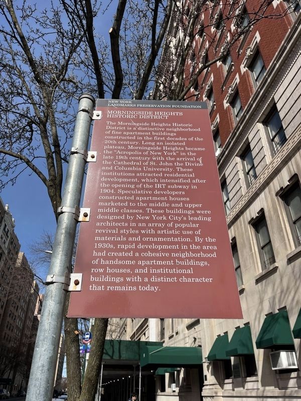
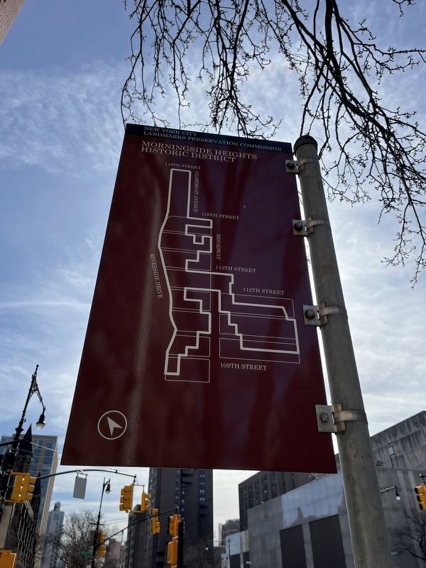
Morningside Heights Historic District
New York Landmarks Preservation Foundation

Photographed By Devry Becker Jones (CC0), March 8, 2024
1. Morningside Heights Historic District Marker
Erected by New York Landmarks Preservation Foundation.
Topics. This historical marker is listed in these topic lists: Architecture • Landmarks • Railroads & Streetcars • Settlements & Settlers. A significant historical year for this entry is 1904.
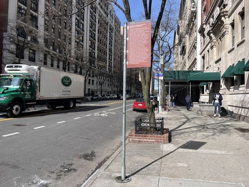
Location. 40° 48.189′ N, 73° 57.844′ W. Marker is in Manhattan, New York, in New York County. It is in Morningside Heights. Marker is at the intersection of West 110th Street and Amsterdam Avenue, on the right when traveling west on West 110th Street. Touch for map. Marker is at or near this postal address: 1020 Amsterdam Ave, New York NY 10025, United States of America. Touch for directions.
Other nearby markers. At least 8 other markers are within walking distance of this marker. Minerva Bernardino Greenstreet (within shouting distance of this marker); Peace Fountain (about 300 feet away, measured in a direct line); Goya (about 300 feet away); Aesop (about 300 feet away); The Cathedral Church of St. John the Divine (about 500 feet away); Anibal Aviles Playground (approx. 0.2 miles away); Site of St. Luke's Hospital (approx. 0.2 miles away); John Dewey (approx. 0.2 miles away). Touch for a list and map of all markers in Manhattan.
Related marker. Click here for another marker that is related to this marker. An identical marker stands a few blocks away.

Photographed By Devry Becker Jones (CC0), March 8, 2024
2. Morningside Heights Historic District Marker

Photographed By Devry Becker Jones (CC0), March 8, 2024
3. Morningside Heights Historic District Marker
Credits. This page was last revised on March 11, 2024. It was originally submitted on March 11, 2024, by Devry Becker Jones of Washington, District of Columbia. This page has been viewed 31 times since then. Photos: 1, 2, 3. submitted on March 11, 2024, by Devry Becker Jones of Washington, District of Columbia.