5 entries match your criteria.
Related Historical Markers
To better understand the relationship, study each marker in the order shown.
By Mike Stroud, October 5, 2013
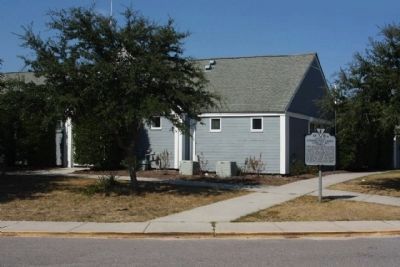
Civilian Conservation Corps Company 1371 Marker
SHOWN IN SOURCE-SPECIFIED ORDER
| Near Shore Drive (U.S. 60) at Virginia Route 347. |
| On The Marquis Road (Virginia Route 22) at James Madison Hightway (U.S. 15), on the right when traveling east on The Marquis Road. |
| On Colonial Trail (U.S. 460) at CCC Road, on the right when traveling east on Colonial Trail. |
| On Warrenton Road (County Route 17) near Greenbank and Berea Church Roads (Route 656), on the right when traveling east. |
| On Davis Highway (Virginia Route 22) 0.3 miles west of Onionville Road, on the right when traveling east. |
May. 20, 2024