4 entries match your criteria.
Related Historical Markers
Additional markers on and about the Wisconsin Military Road.
By Gordon Govier, January 20, 2005
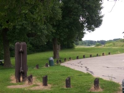
Military Road Highway View
SHOWN IN SOURCE-SPECIFIED ORDER
| On County Highway Y at Canyon Park Road, on the right when traveling west on County Highway Y. |
| | You are traveling the route of the Old Military Road, built in 1835-36, to connect Fort Crawford at Prairie du Chien and Fort Howard at Green Bay, via Fort Winnebago at "The Portage" between the Fox-Wisconsin rivers. The section from Prairie du . . . — — Map (db m36908) HM |
| Near County Highway TC, 2.2 miles east of State Highway 49, on the left when traveling east. |
| | The Raube Road Site is one of Wisconsin's few remaining intact Old Military Road segments from the state's territorial period. Located on farmland purchased by Albert and Martha Raube in 1911, this 123-foot-long Military Road segment was part of the . . . — — Map (db m36007) HM |
| On U.S. 18 at Lawless Road, on the right when traveling west on U.S. 18. |
| | The Old Military Road From Fort Howard on Green Bay to Fort Crawford at Prairie du Chien, 1835. — — Map (db m36005) HM |
| On South Military Road at West 2nd Street, on the right when traveling north on South Military Road. |
| | The Military Road, built in 1835, became the first highway to cross the state. Congress appropriated $5,000 to connect the St. Lawrence and Mississippi River basins.
The troops at Fort Crawford constructed the road from Prairie du Chien to . . . — — Map (db m46182) HM |
May. 4, 2024