2 entries match your criteria.
Related Historical Markers
By William Fischer, Jr., August 27, 2011
The Geographic Center of the United States Marker
SHOWN IN SOURCE-SPECIFIED ORDER
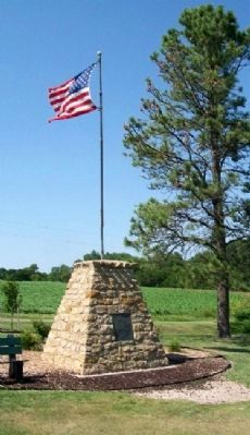
| 1 ► Kansas, Smith County, Lebanon — The Geographic Center of the United States — Lat. 39º 50' Long. 98º 35' — NE 1/4 - SE 1/4 - S32 - T2S - R 11 W — |
| On 130th Road (State Highway 191) at AA Road when traveling west on 130th Road. | |||
| 2 ► Kansas, Smith County, Lebanon — 37 — The Geographic Center — |
| Near U.S. 36, 0.4 miles west of Kansas Highway 181, on the right when traveling east. | |||