10 entries match your criteria.
Related Historical Markers
By Dawn Bowen, July 14, 2007
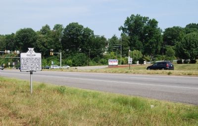
Marker on Rt. 3
SHOWN IN SOURCE-SPECIFIED ORDER
| 1 ► Virginia, Stafford County, Fredericksburg — J-60 — Chatham |
| On Virginia Route 3, 0 miles east of Chatham Heights Road (County Route 212), on the right when traveling east. Reported permanently removed. | |||
| 2 ► Virginia, Stafford County, Fredericksburg — Chatham and the Civil War — |
| On Chatham Lane. | |||
| 3 ► Virginia, Stafford County, Fredericksburg — Chatham — |
| On Chatham Lane. | |||
| 4 ► Virginia, Stafford County, Fredericksburg — Lincoln's Review |
| On Chatham Lane. Reported missing. | |||
| 5 ► Virginia, Stafford County, Fredericksburg — A “Picture of Desolation” — |
| Near Chatham Lane. | |||
| 6 ► Virginia, Stafford County, Fredericksburg — Union Soldiers View — |
| Near Chatham Lane. | |||
| 7 ► Virginia, Stafford County, Fredericksburg — Fredericksburg Campaign — |
| Near Chatham Lane. | |||
| 8 ► Virginia, Stafford County, Fredericksburg — A Bloody Crossing — The Battle of Fredericksburg — Fredericksburg and Spotsylvania National Military Park — |
| Near Chatham Lane. | |||
| 9 ► Virginia, Stafford County, Fredericksburg — Pontoon Bridges — The Battle of Fredericksburg — Fredericksburg and Spotsylvania National Military Park — |
| Near Chatham Lane. | |||
| 10 ► Virginia, Stafford County, Fredericksburg — Between Battles — |
| Near Chatham Lane. | |||