2 entries match your criteria.
Related Historical Markers
By William Fischer, Jr., June 8, 2011
Treaty of Fort McIntosh Boundary Line Marker
SHOWN IN SOURCE-SPECIFIED ORDER
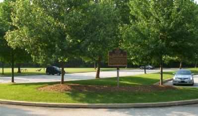
| 1 ► Ohio, Summit County, Akron — 37-77 — Treaty of Fort McIntosh Boundary Line — |
| In 1785, American Indian tribal leaders from the Chippewa, Delaware, Ottawa, and Wyandot met with representatives sent by the United States Congress to sign the controversial Treaty of Fort McIntosh. The treaty surrendered control of Native . . . — — Map (db m43512) HM | |||
| 2 ► Ohio, Darke County, Greenville — 4-19 — Treaty of Greene Ville — 1795 — |
| Following General Anthony Wayne's victory at Fallen Timbers, members of the western tribes assembled at Fort Greene Ville to settle on terms of peace. Representatives of the Wyandot, Delaware, Shawnee, Ottawas, Chippewa, Ottawa, Pattawatimi, . . . — — Map (db m244967) HM | |||