2 entries match your criteria.
Related Historical Markers
By William Fischer, Jr., March 31, 2012
Gibbon Marker
SHOWN IN SOURCE-SPECIFIED ORDER
| On Windmill St Recreation Road east of Lowell Road (Nebraska Route 10C), on the right when traveling east. |
| | Gibbon, on the old Mormon Trail, was the site of a unique experiment in homestead colonization. Originally conceived as a financial venture by Colonel John Thorp of Ohio, the Soldier's Free Homestead Colony was responsible for bringing the first . . . — — Map (db m79880) HM |
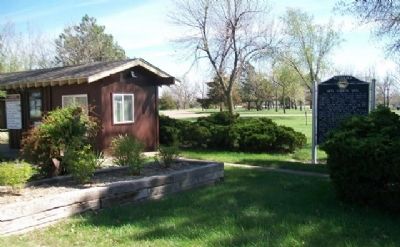
| On LaBarre Street at 1st Street, on the left when traveling south on LaBarre Street. |
| |
Erected by the descendants of the Soldiers Free Homestead Colony, to honor and perpetuate their names, for their courage and self sacrifice in their pioneering. They arrived in Gibbon, Nebraska, April 7, 1871, by Union Pacific Railroad, seeking . . . — — Map (db m79721) HM |
Apr. 29, 2024