2 entries match your criteria.
Related Historical Markers
By Mark Hilton, May 11, 2015
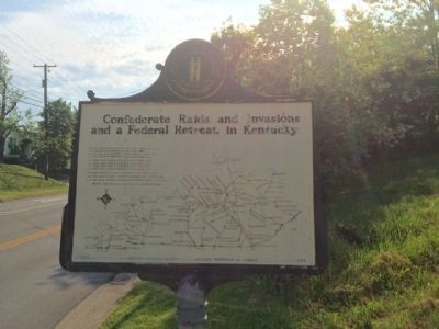
Raid and retreat map on reverse of marker.
SHOWN IN SOURCE-SPECIFIED ORDER
| 1 ► Kentucky, Montgomery County, Mount Sterling — 629 — Battle-June 9, 1864 — |
| On West Main Street (U.S. 60) at Indian Mound Drive (State Route 686), on the right when traveling east on West Main Street. | |||
| 2 ► Kentucky, Montgomery County, Mount Sterling — 1331 — Civil War Robbery / Bank Sues — |
| On South Bank Street (U.S. 460) at West Main Street (U.S. 60), on the right when traveling south on South Bank Street. | |||