3 entries match your criteria.
Related Historical Markers
By Bill Kirchner, May 17, 2016
Dominguez y Escalante Expedition Marker
SHOWN IN SOURCE-SPECIFIED ORDER
| 1 ► Arizona, Coconino County, Marble Canyon — Dominguez y Escalante Expedition — 1776 - 1976 — Treacherous Descent |
| On U.S. 89A at milepost 557, on the left when traveling east. Reported missing. | |||
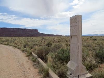
| 2 ► Arizona, Coconino County, Marble Canyon — Impossible Canyons — Dominguez y Escalante Expedition 1776-1976 — |
| On U.S. 89A at milepost 538.3, on the right when traveling west. | |||
| 3 ► Arizona, Coconino County, Page — Crossing of the Fathers — Dominguez y Escalante Expedition 1776-1976 — |
| On Lake Powell Boulevard at Navajo Drive, on the right when traveling north on Lake Powell Boulevard. | |||