7 entries match your criteria.
Great Platte River Road Historical Markers Markers highlighting the trading and immigrant routes that followed the Platte River, a main portion of the Oregon, California, and Mormon trails going west across the central Great Plains between 1841 and 1866.
By William Fischer, Jr., February 19, 2012
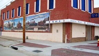
Kearney: From the Beginning Marker and Murals
GEOGRAPHIC SORT Title Sort Marker Number Sort Marker Number Sort N Marker Number Sort T Publication Order Sort Publication Order Sort A Erected Year Sort Most Viewed Sort Most Recent-Interest Sort Most Recently Changed Sort SEE FAQ #33 FOR DESCRIPTIONS
On Central Avenue at 19th Street, on the left when traveling north on Central Avenue.
Near Interstate 80 at milepost 100, on the right when traveling east.
On 25th Road (Nebraska Route 44) 0.1 miles south of W Road, on the left when traveling south.
On East A Street at West Second Street on East A Street.
On East A Street at West Second Street on East A Street.
Near Interstate 80 at milepost 159, on the right when traveling east.
Near Interstate 80 at milepost 159.
May. 3, 2024