By Rick Bodenschatz
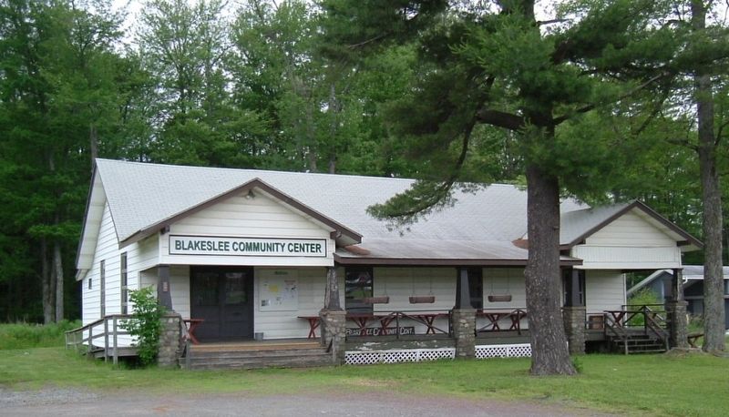
Blakeslee Community Center Marker
GEOGRAPHIC SORT Title Sort Marker Number Sort Marker Number Sort N Marker Number Sort T Publication Order Sort Publication Order Sort A Erected Year Sort Most Viewed Sort Most Recent-Interest Sort Most Recently Changed Sort SEE FAQ #33 FOR DESCRIPTIONS
On PA Route 115 (Pennsylvania Route PA 115), on the left when traveling north.
On PA Route 115 (Pennsylvania Route 115) 0.2 miles north of PA Route 940 (Pennsylvania Route 940), on the left when traveling north.
On PA Route 115 (Pennsylvania Route 115) 0.5 miles south of PA Route 940 (Pennsylvania Route 940), on the left when traveling south.
On PA Route 115 (Pennsylvania Route 115) 1.5 miles south of PA Route 940 & PA Route 115, on the right when traveling south.
On PA Route 940 (Pennsylvania Route 940) 3 miles north of PA Route 940 (Route 940), on the left when traveling north.
On Pennsylvania Route 115 at Mackes Street, on the right when traveling north on State Route 115.
On Burger Road when traveling south.
On Old Route 940, on the left when traveling west.
On Pocono Crest Road, 0.2 miles east of PA Route 940 and PA Route 423, on the right when traveling east.
On Old Route 940, 0.1 miles north of Firehouse Road, on the right when traveling north.
On PA Route 940 (Pennsylvania Route 940), on the right when traveling west.
On Old Route 940, on the left when traveling north.
On Church Street, on the right when traveling west.
On Firehouse Road east of Old Pennsylvania Route 940, on the right when traveling west.
On Pennsylvania Route PA 940 at Stoney Hollow Road, on the right when traveling east on State Route PA 940.
Paid Advertisement
On Pennsylvania Route 940, 0.1 miles west of Route 423, in the median.
On PA Route 940 (Pennsylvania Route 940), on the right when traveling east.
On North Shore Road (Pennsylvania Route 940) at North Shore Road, on the right when traveling east on North Shore Road.
On Miller Drive, on the left when traveling north.
On Pocono Crest Road, 0.5 miles PA Routes 940 and 423 (Route 940), on the right when traveling east.
On Pennsylvania Route 940, on the right when traveling west.
On State Street, on the right when traveling east.
On Locust Ridge Road (County Road 4003) just south of Slutter Road, on the right when traveling north.
On Pennsylvania Route 423 (Pennsylvania Route 423) 0.5 miles north of Pennsylvania Route 940 (Pennsylvania Route 940), on the left when traveling north.
On Sullivan Trail (Pennsylvania Route 4004) 0.5 miles south of PA Route 940 (Pennsylvania Route 940) when traveling north.
On PA Route 940 (Pennsylvania Route 940), on the right when traveling west.