Near Grantsville in Garrett County, Maryland — The American Northeast (Mid-Atlantic)
Castleman’s River Bridge / The Little Crossings
(Formerly "Little Youghiogeny")
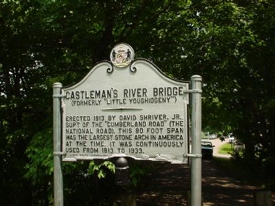
Castleman's River Bridge
(Formerly "Little Youghiogeny")
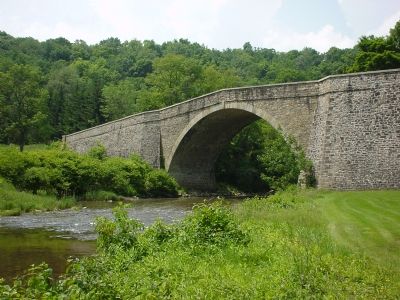
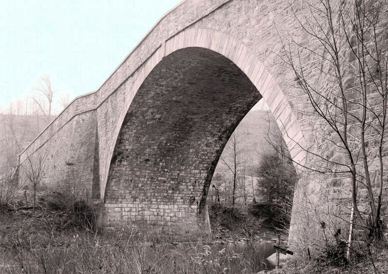
Erected 1813 by David Shriver, Jr., Sup't of the "Cumberland Road" (The National Road). This 80 foot span was the largest stone arch in America at the time. It was continuously used from 1813 to 1933.
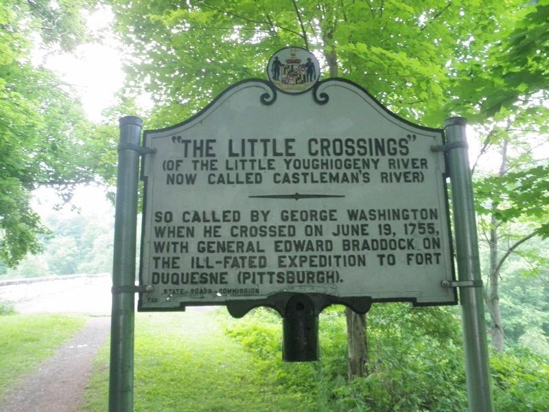
The Little Crossings
(Of the Little Youghiogeny River now called Castleman's River)
So called by George Washington when he crossed on June 19, 1755, with General Edward Braddock on the ill-fated expedition to Fort Duquesne (Pittsburgh).
Erected by State Roads Commission.
Topics and series. This historical marker is listed in these topic lists: Bridges & Viaducts • Roads & Vehicles. In addition, it is included in the National Historic Landmarks, and the The Historic National Road series lists. A significant historical year for this entry is 1813.
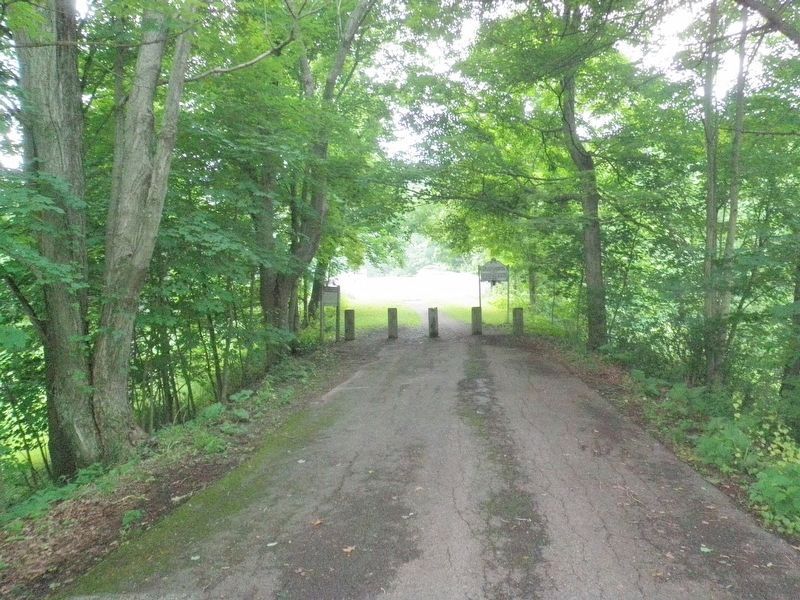
Location. 39° 41.817′ N, 79° 8.554′ W. Marker is near Grantsville, Maryland, in Garrett County. Marker is on Casselman Road near The National Pike (U.S. 40). Casselman Road was the original alignment of the National Road leading to the bridge. It stops at the east end of the bridge where the marker can be found. Touch for map. Marker is in this post office area: Grantsville MD 21536, United States of America. Touch for directions.
Other nearby markers. At least 5 other markers are within walking distance of this marker. “The Little Crossings” / Castleman’s River Bridge (a few steps from this marker); Mountain Maryland Gateway to the West (a few steps from this marker); Casselman River Bridge State Park (a few steps from this marker); The National Pike (within shouting distance of this marker); Winterburg House (within shouting distance of this marker). Touch for a list and map of all markers in Grantsville.
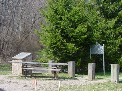
More about this marker. There are two identical markers, one on each end of the Castleman River Bridge. This marker, like its twin, describes the "The Little Crossings" (which see) on its other face.
Casselman Road runs through the Spruce Forest & Artisan Village at Penn Alps just east of Granstvile. There is plenty of parking and plenty to see and do and buy. The Stonebow Inn Bed & Breakfast is a few feet from the marker and the Pennsylvania Dutch family-style Penn Alps Restaurant is worth the stop.
Also see . . .
1. Casselman's Bridge. Photos by David Denenberg on Bridgemeister.com. (Submitted on February 4, 2006.)
2. Spruce Forest Artisan Village. Repaired broken link; 10/29/2022 LPG. (Submitted on February 4, 2006.)
3. Penn Alps. Website homepage (Submitted on February 4, 2006.)
4. Casselman Bridge, National Road. (PDF) National Register of Historic Place Nomination Form. (Submitted on July 1, 2017, by Allen C. Browne of Silver Spring, Maryland.)
5. Historic Bridges of Maryland. Link to book at Amazon.com (Submitted on February 4, 2006.)
Additional keywords. Casselman Bridge, National Road
Photographed By Bradley Owen, July 25, 2021
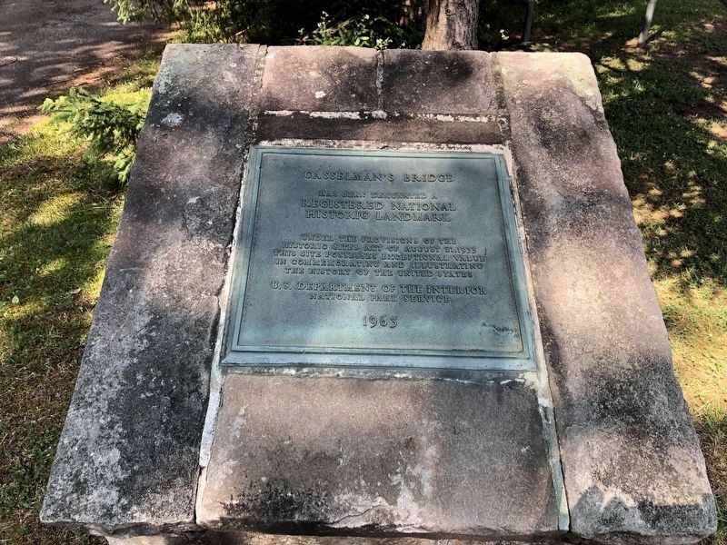
3. Casselman's Bridge Marker
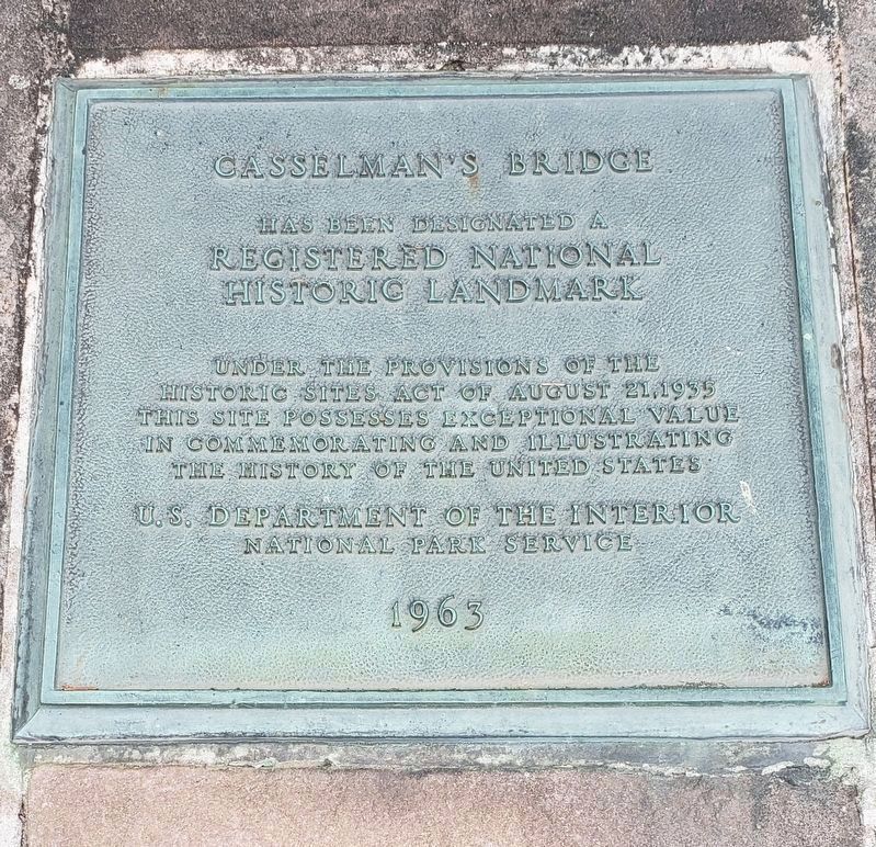
Has been designated a
REGISTERED NATIONAL
HISTORIC LANDMARK
Under the provisions of the Historic Sites Act of August 21, 1935
This site possesses exceptional value in commemorating and illustrating the history of the United States
Photographed By Devry Becker Jones (CC0), July 17, 2020
10. National Historic Landmark plaque on the west side of the bridge
Credits. This page was last revised on March 24, 2024. It was originally submitted on February 4, 2006, by J. J. Prats of Powell, Ohio. This page has been viewed 5,130 times since then and 58 times this year. Photos: 1. submitted on February 4, 2006, by J. J. Prats of Powell, Ohio. 2. submitted on December 18, 2020, by Mike Wintermantel of Pittsburgh, Pennsylvania. 3. submitted on July 27, 2021, by Bradley Owen of Morgantown, West Virginia. 4. submitted on May 18, 2006, by J. J. Prats of Powell, Ohio. 5. submitted on December 18, 2020, by Mike Wintermantel of Pittsburgh, Pennsylvania. 6. submitted on February 4, 2006, by J. J. Prats of Powell, Ohio. 7, 8, 9. submitted on July 1, 2017, by Allen C. Browne of Silver Spring, Maryland. 10. submitted on July 19, 2020, by Devry Becker Jones of Washington, District of Columbia.
