Near Scotland in St. Mary's County, Maryland — The American Northeast (Mid-Atlantic)
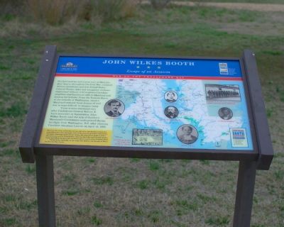
John Wilkes Booth
Escape of an Assassin
— War on the Chesapeake Bay —
Those strains continued even after Confederate General Robert E. Lee’s surrender at Appomattox. John Wilkes Booth used the help of Southern Maryland’s Confederate underground during his flight from Washington, D.C. after shooting President Abraham Lincoln on April 14, 1865.
(Inset, lower left): Discover the story of Booth’s escape and other fascinating history for yourself as you drive through some of Maryland’s prettiest countryside and most charming small towns. Follow the sign of the bugle to learn about the war on the Chesapeake, visit the site of the war’s largest prison camp and follow Booth to his eventual capture south of the Potomac River.
Please drive carefully as you enjoy the history and beauty of Maryland’s Civil War Trails.
Photo Captions: John Wilkes Booth • Mary E. Surratt • Dr. Samuel A. Mudd • Company of the 4th USCT, one of several infantry units formed in Maryland • Frederick Douglass • Harriet Tubman • Booth limps across the stage after shooting Lincoln.
Topics and series. This historical marker is listed in this topic list: War, US Civil. In addition, it is included in the Booth's Escape, and the Maryland Civil War Trails series lists. A significant historical month for this entry is April 1637.
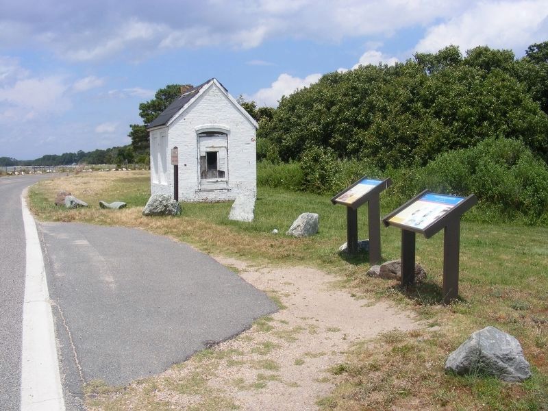
Location. 38° 2.382′ N, 76° 19.324′ W. Marker is near Scotland, Maryland, in St. Mary's County. Marker is on Point Lookout Road, on its terminus loop (Maryland Route 5), on the right when traveling north. It is in sight of the Point Lookout lighthouse. Touch for map. Marker is in this post office area: Scotland MD 20687, United States of America. Touch for directions.
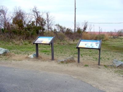
Other nearby markers. At least 5 other markers are within walking distance of this marker. Point Lookout State Park (here, next to this marker); Point Lookout-Hammond Hospital (here, next to this marker); A Crucial Point (within shouting distance of this marker); Let There Be Light (within shouting distance of this marker); Defense Strategies (about 600 feet away, measured in a direct line). Touch for a list and map of all markers in Scotland.
Related markers. Click here for a list of markers that are related to this marker. To better understand the relationship, study each marker in the order shown.
Also see . . . Booth's Escape Byway, Maryland Office of Tourism. (Submitted on August 19, 2019.)
Credits. This page was last revised on August 23, 2019. It was originally submitted on May 5, 2007, by Tom Fuchs of Greenbelt, Maryland. This page has been viewed 2,824 times since then and 53 times this year. Photos: 1. submitted on May 5, 2007, by Tom Fuchs of Greenbelt, Maryland. 2. submitted on May 5, 2007. 3. submitted on June 26, 2017, by Pete Payette of Orange, Virginia. • J. J. Prats was the editor who published this page.


