Near Corinne in Box Elder County, Utah — The American Mountains (Southwest)
Transcontinental Railroad
National Back Country Byway
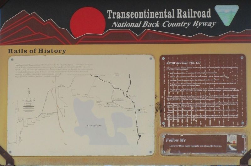
— Rails of History —
Topics. This historical marker is listed in these topic lists: Railroads & Streetcars • Roads & Vehicles.
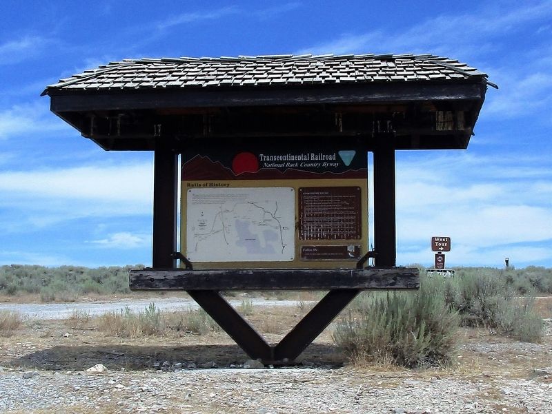
Location. 41° 34.915′ N, 112° 38.283′ W. Marker is near Corinne, Utah, in Box Elder County. Marker is on Golden Spike Loop Road, on the right when traveling west. Marker is 7.7 miles west of Golden Spike National Historic Site, 6200 North 22300th Street West, Brigham City, UT 84307 ; in the absolute middle of nowhere. Touch for map. Marker is in this post office area: Corinne UT 84307, United States of America. Touch for directions.
Other nearby markers. At least 8 other markers are within 6 miles of this marker, measured as the crow flies. Rozel (approx. 0.8 miles away); Stairway to Promontory (approx. 1.3 miles away); 10 Miles of Track (approx. 2.3 miles away); Centre Siding (approx. 3.6 miles away); September 1869 (approx. 5.1 miles away); September 8, 1942 (approx. 5.1 miles away); The Locomotives of Golden Spike - Jupiter (approx. 5.1 miles away); May 10, 1869 (approx. 5.1 miles away). Touch for a list and map of all markers in Corinne.
Photographed By Barry Swackhamer, June 20, 2017
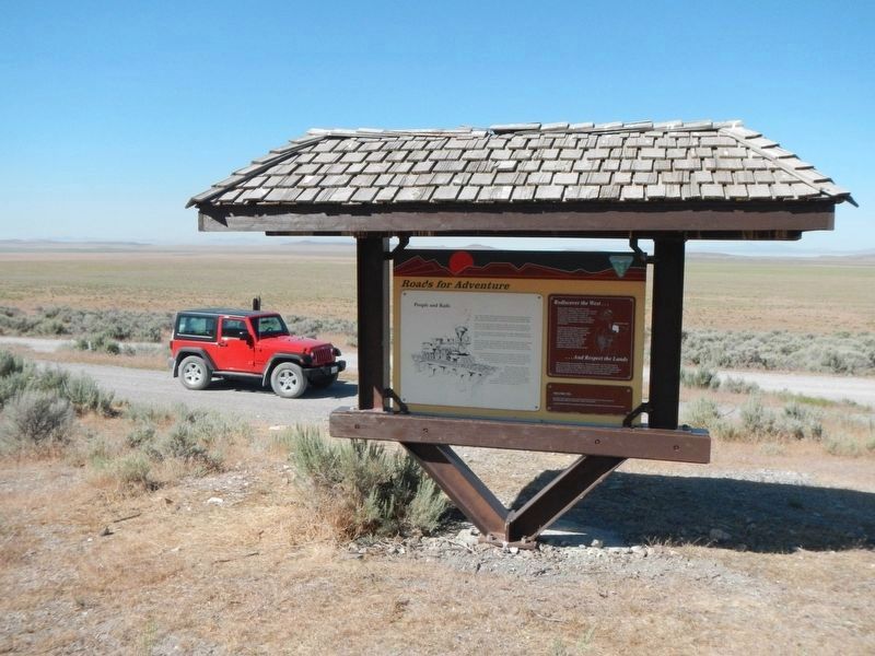
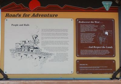
4. Roads for Adventure
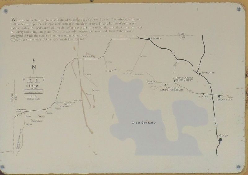
The Central Pacific Railroad began laying track east from Sacramento in 1863. After tackling the rugged terrain of the Sierra Nevada Mountains and crossing the Great Basin, the railroad reached Utah in March 1869.
After the rails were joined on May 10, 1869, the new railroad had to be operated and maintained. Along the Promontory Branch 28 sidings, stations, and associated towns were built to service up to ten trains a day.
Kelton, with a population of about 700, had a major stagecoach line and mail and freight rout that supplied Idaho, Oregon, and Intermountain North.
Terrance, with nearly 1000 residents, was the largest community and served as the maintenance headquarters for the Salt Lake Division. The town included a roundhouse, a machine shop, and an eight-track switch yard along with hotels, a saloon, a library, bath-house, and many other thriving businesses.
The Promontory Branch of the railroad was replaced in 1904 by the Lucin Cutoff, a shorter route built on pilings across the Great Salt Lake. The original grade saw only local use afterwards, and railroad facilities and dependent towns were soon abandoned. The rails were removed in 1942 for use in the war effort.
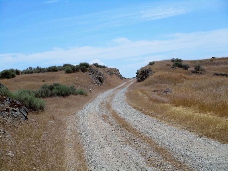
Today, cattle graze where once thousands labored to open the West to industry and commerce. Today's byway follows the last 90 miles of grade laid by the Central Pacific before their rails met the Union Pacific's at Promontory Summit. The Transcontinental Railway Back Country Byway is interpreted at many sites along the route on your public lands.
Rediscover the West...
Back Country Byways open doors to new experiences. Following the Byway can take you back in time, allow you glimpses of things you've never seen, and provide you with a variety of recreational values, whether scenic, recreational, or historical, and provides a unique encounter with the land.
The Bureau of Land Management's Back Country Byways Program is a national effort to open us less traveled corridors of the western public lands, to provide access to the treasures of our rich heritage, and to enhance opportunities for scenic driving. The public lands exhibit such a diversity of resources and uses - they can provide can provide an enjoyable experience for almost anyone!
... And Respect the Lands
The western lands are special places. These public lands, as well as the lands in private ownership surrounding them, require great care. The resources must be preserved, not only for the wildlife that inhabit the lands, but also for future visitors. Please be considerate of others you encounter in your journey, leave gates as you found then, pack out trash, and value the rights of private landowners.
Photographed By Barry Swackhamer, June 20, 2017
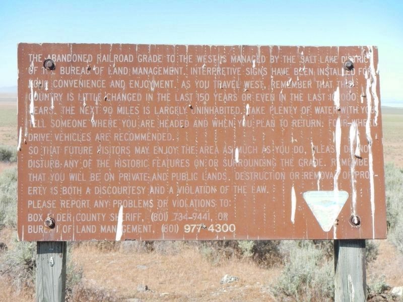
8. Words of Caution
The abandoned railroad grade to the west managed by the Salt Lake District of the Bureau of Land Management. Interpretive signs have been installed for your convenience and enjoyment. As you travel west, remember that this country is little changed in the last 150 years or even in the last 10,000 years. The next 90 miles is largely uninhabited. Take plenty of water with you. Tell someone where you are headed and when you plan to return. Four-wheel drive vehicles are recommended.
So that future visitors may enjoy the area as much as you do, please do not disturb any of the historic features on or surrounding the grade. Remember that you will be on private and public lands. Destruction or removal of property is both a discourtesy and a violation of the law.
Please report any problems of violations to: Box Elder County Sheriff, (801) 734-9441, or Bureau of Land Management, (801) 977-4300.
Credits. This page was last revised on August 28, 2020. It was originally submitted on November 26, 2016, by Rev. Ronald Irick of West Liberty, Ohio. This page has been viewed 511 times since then and 29 times this year. Photos: 1, 2, 3. submitted on November 26, 2016, by Rev. Ronald Irick of West Liberty, Ohio. 4. submitted on July 9, 2017, by Barry Swackhamer of Brentwood, California. 5, 6. submitted on November 26, 2016, by Rev. Ronald Irick of West Liberty, Ohio. 7, 8. submitted on July 9, 2017, by Barry Swackhamer of Brentwood, California. 9. submitted on November 26, 2016, by Rev. Ronald Irick of West Liberty, Ohio. • Bill Pfingsten was the editor who published this page.

