Tequisquiapan, Querétaro, Mexico — The Central Highlands (North America)
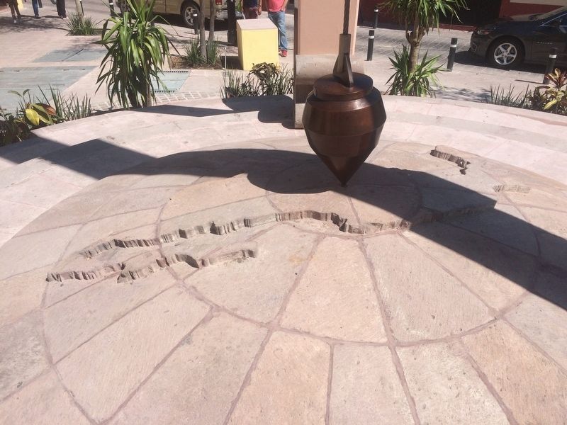
The Geographical Center of Mexico
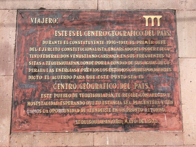
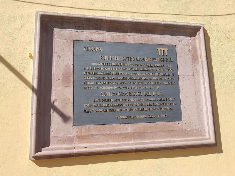
Viajero:
Este es el centro geográfico del país.
Durante el Constituyente 1916-1917, el Primer Jefe del Ejercito Constitucionalista, encargado del Poder Ejecutivo Federal, Don Venustiano Carranza, en sus frecuentes visitas a Tequisquiapan, donde por la bondad de sus aguas recuperaba las energías y previos los estudios correspondientes dicto el acuerdo para que este punto sea el
Centro Geografico del Pais.
Este pueblo de Tequisquiapan, te recibe con afecto y hospitalidad, esperando que tu estancia sea placentera y tengamos la oportunidad de atenderte en un pronto retorno.
Tequisquiapan, Qro., Mayo de 1978.
Traveler, this is the geographical center of the country.
During the Constituent Assembly of 1916-1917, the First Chief of the Constitutionalist Army, in charge of the Federal Executive Power, Venustiano Carranza, while visiting Tequisquiapan in order to relax in its thermal waters, he recovered his energies and when reviewing the corresponding studies he agreed to assign this point as the
Geographical Center of the Country.
The town of Tequisquiapan welcomes you with affection and hospitality, hoping that your stay is pleasant and that we have the opportunity to see your prompt return.
Tequisquiapan, Querétaro, May 1978.
Erected 1978.
Topics. This historical marker is listed in this topic list: Waterways & Vessels. A significant historical month for this entry is May 1978.
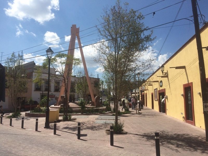
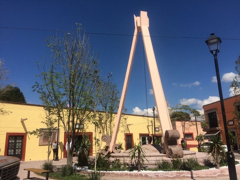
Location. 20° 31.296′ N, 99° 53.64′ W. Marker is in Tequisquiapan, Querétaro. Marker is on Calle Centenario Sur just west of Calle Niños Héroes, on the left when traveling north. The marker is along a wall to the north of the monument to the geographic center of Mexico, near the intersection of Calles Niños Héroes and Centenario Sur. Touch for map. Marker is in this post office area: Tequisquiapan QUE 76750, Mexico. Touch for directions.
Other nearby markers. At least 8 other markers are within 8 kilometers of this marker, measured as the crow flies. The Legend of the Baroness (within shouting distance of this marker); First Public Education in Tequisquiapan (about 180 meters away, measured in a direct line); Municipal Auditorium (about 180 meters away); Plaza Reforma (about 210 meters away); Miguel Hidalgo y Costilla (approx. 0.3 kilometers away); Parish of Santa María de la Asunción (approx. 0.3 kilometers away); Salvador Michaus Marroquín (approx. 0.4 kilometers away); La Trinidad Natural Protected Area (approx. 7.3 kilometers away). Touch for a list and map of all markers in Tequisquiapan.
Credits. This page was last revised on January 2, 2020. It was originally submitted on December 5, 2016, by J. Makali Bruton of Accra, Ghana. This page has been viewed 1,301 times since then and 124 times this year. Photos: 1. submitted on December 5, 2016, by J. Makali Bruton of Accra, Ghana. 2. submitted on December 3, 2018, by J. Makali Bruton of Accra, Ghana. 3, 4, 5. submitted on December 5, 2016, by J. Makali Bruton of Accra, Ghana.
