Utrecht, Netherlands — Northwestern Europe
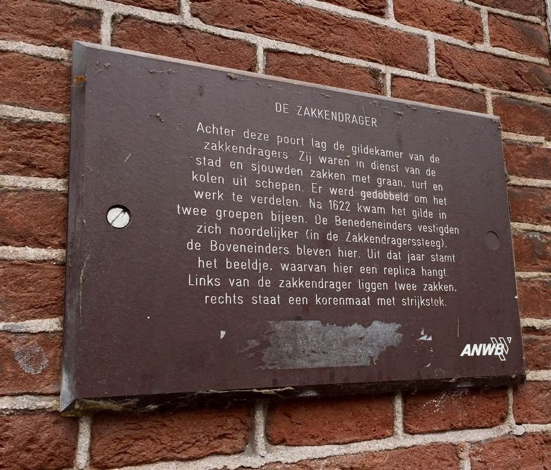
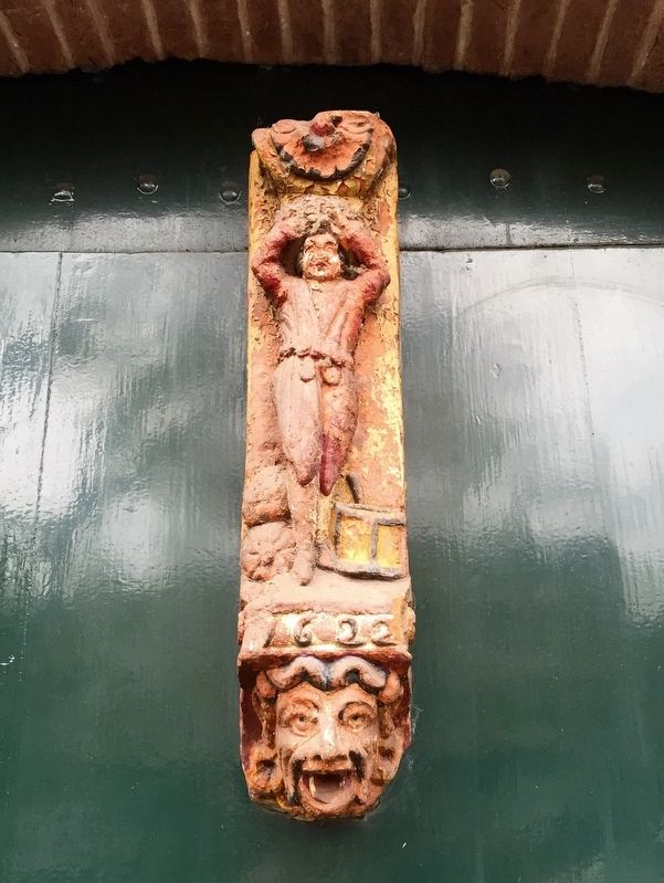
De Zakkendrager / The Porters
[English translation:]
Erected by The ANWB, VVV.
Topics. This historical marker is listed in these topic lists: Industry & Commerce • Labor Unions.
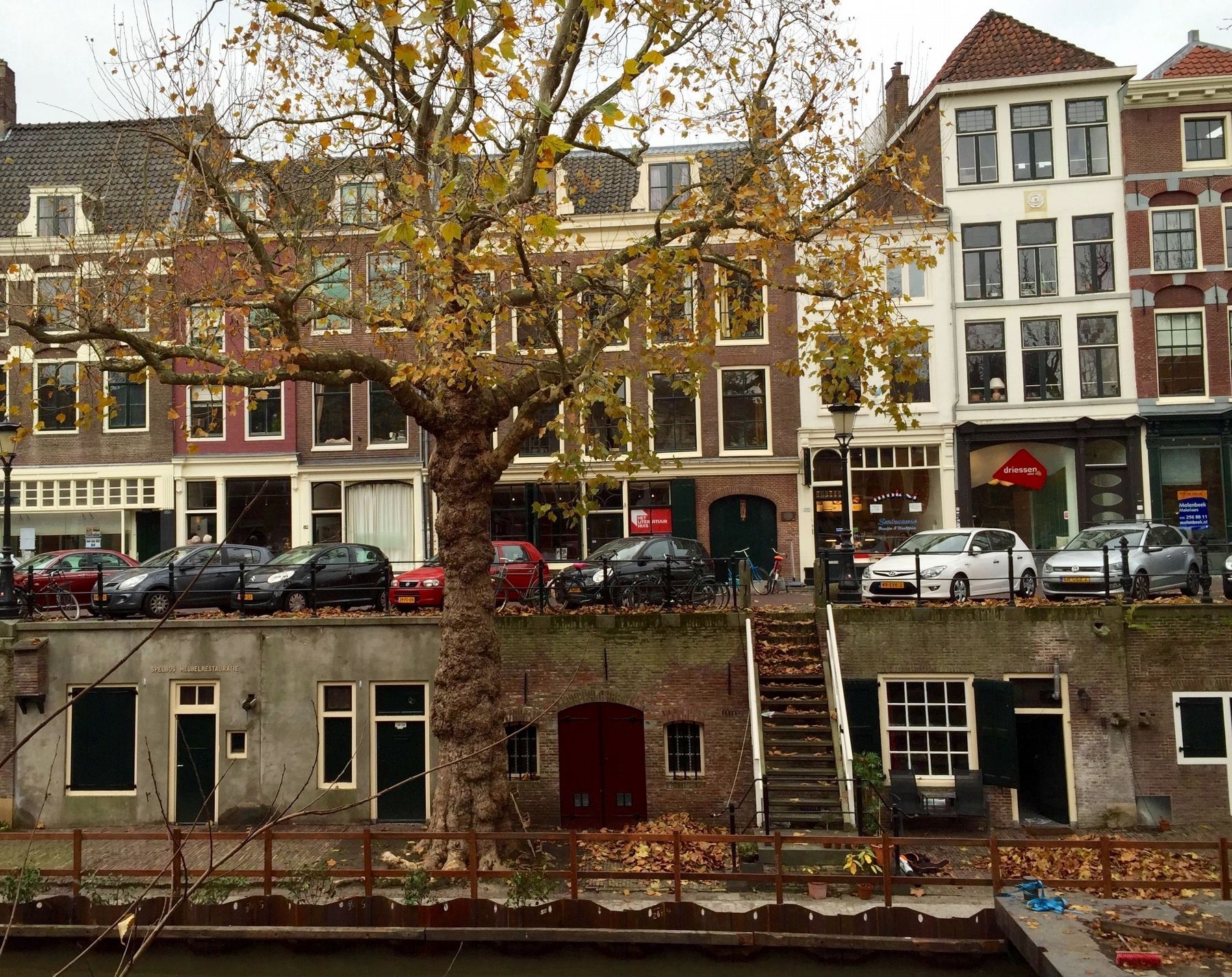
Location. 52° 5.252′ N, 5° 7.289′ E. Marker is in Utrecht. Marker is on Oudegracht just south of Haverstraat, on the left when traveling north. Touch for map. Marker is at or near this postal address: Oudegracht 235, Utrecht 3511 NL, Netherlands. Touch for directions.
Other nearby markers. At least 8 other markers are within walking distance of this marker. Voormalig Klooster en Later Weeshuis / Former Monastery and Later Orphanage (within shouting distance of this marker); St. Jacobsgasthuis / St. James' Guest House (within shouting distance of this marker); Doopsgezinde Kerk / Mennonite Church (within shouting distance of this marker); Geboortehuis van Paus Adriaan / Birthplace of Pope Adrian (about 90 meters away, measured in a direct line); Mieropskameren / Mierop's Homes (about 120 meters away); Het Duitse Huis / The German House (about 180 meters away); Claustraal Huis van Oudemunster / Canon House of the Former Oudmunster Church (approx. 0.3 kilometers away); Eloyen Gasthuis / Eloyen Almshouse (approx. 0.3 kilometers away). Touch for a list and map of all markers in Utrecht.
Also see . . . De Zakkendrager - History (De Zakkendrager Restaurant). De zakkendragers or sack carriers formed the guild of transporters in the Middle ages....The front of our restaurant
was known as the Guildhouse of the zakkendragers; a part of a larger complex located between the Oudegracht and the Zakkendragerssteeg. This was where the work was shared out and also a meeting place for the zakkendragers which over the years evolved into a cafe....For hundreds of years the goods barges arrived at the Oudegracht canal and were unloaded into the wharf cellars. From here everything was carried on the backs of the zakkendragers to the market that, to this day, is still situated on Vredenburg. (Submitted on December 11, 2016.)
Credits. This page was last revised on January 1, 2024. It was originally submitted on December 11, 2016, by Andrew Ruppenstein of Lamorinda, California. This page has been viewed 366 times since then and 43 times this year. Photos: 1, 2, 3. submitted on December 11, 2016, by Andrew Ruppenstein of Lamorinda, California.


