Near Brunswick in Frederick County, Maryland — The American Northeast (Mid-Atlantic)
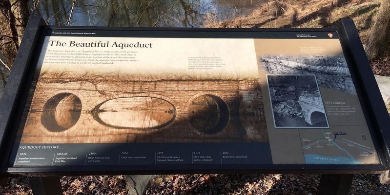
The Beautiful Aqueduct
Chesapeake and Ohio Canal National Historical Park
— National Park Service, U.S. Department of the Interior —
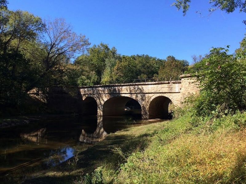
The Catoctin Aqueduct, or "Aqueduct No. 3," ranks as one of the premiere stone structures on the C&O Canal. Aqueducts carried the canal's waters over creeks and rivers, allowing boats to float safely above the sometimes turbulent waters below. Engineers built the aqueduct for navigation, but it is obvious they also wanted to create an elegant landmark.
(Caption)
The iron scrollwork on the railing was a distinctive feature of the Catoctin Aqueduct.
Erected by National Park Service, U.S. Department of the Interior.
Topics and series. This historical marker is listed in these topic lists: Bridges & Viaducts • Industry & Commerce • Waterways & Vessels. In addition, it is included in the Chesapeake and Ohio (C&O) Canal series list.
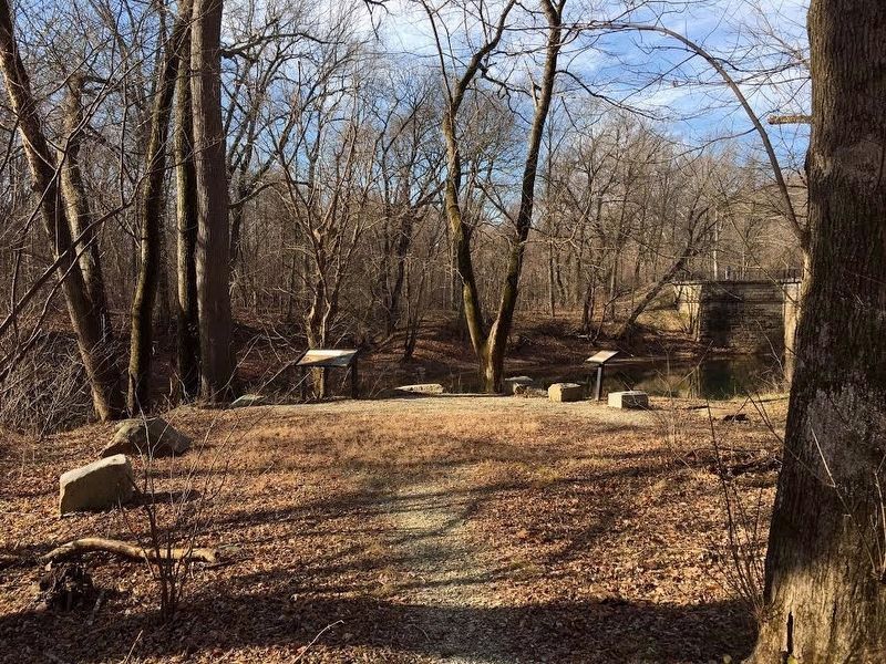
Location. 39° 18.659′ N, 77° 34.094′ W. Marker is near Brunswick, Maryland, in Frederick County. Marker can be reached from C & O Canal Towpath (at milepost 51.5). The marker is off to the left of the C&O Canal Towpath and can be seen when approaching the Catoctin Aqueduct from the east. A small trail leads to the marker. Touch for map. Marker is in this post office area: Brunswick MD 21716, United States of America. Touch for directions.
Other nearby markers. At least 8 other markers are within 3 miles of this marker, measured as the crow flies. Aqueduct Stones (here, next to this marker); Stones Reunited (a few steps from this marker); Catoctin Aqueduct (a few steps from this marker); Fall and Rise of an Aqueduct (a few steps from this marker); A Lockkeeper's Life (approx. 0.6 miles away); Abraham Lakin 2nd (approx. 1.8 miles away); Lockhouse 28 (approx. 2.3 miles away); A Canal Home (approx. 2.3 miles away). Touch for a list and map of all markers in Brunswick.
Also see . . . Preserving The Canal - Catoctin Aqueduct. C&O Canal Trust website entry (Submitted on January 24, 2017, by Brandon Stahl of Fairfax, Virginia.)

Photographed By Brandon Stahl, October 10, 2016
2. The Catoctin Aqueduct
The aqueduct as seen from the marker
Historic Structure Report - The Catoctin Aqueduct
National Park Service PDF
Click for more information.
Historic Structure Report - The Catoctin Aqueduct
National Park Service PDF
Click for more information.
Credits. This page was last revised on April 25, 2024. It was originally submitted on January 24, 2017, by Brandon Stahl of Fairfax, Virginia. This page has been viewed 317 times since then and 13 times this year. Photos: 1, 2, 3, 4. submitted on January 24, 2017, by Brandon Stahl of Fairfax, Virginia. • Bill Pfingsten was the editor who published this page.


