Near Brunswick in Frederick County, Maryland — The American Northeast (Mid-Atlantic)
Catoctin Aqueduct
Chesapeake and Ohio Canal National Historical Park
— National Park Service, U.S. Department of the Interior —
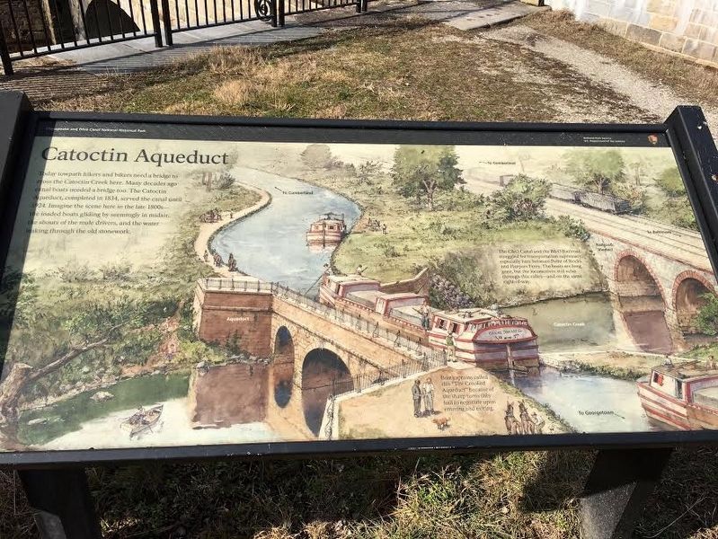
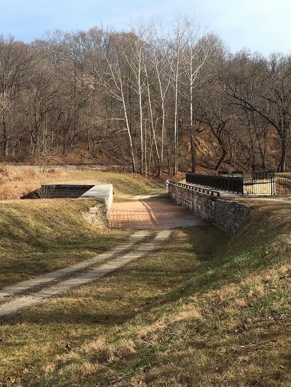
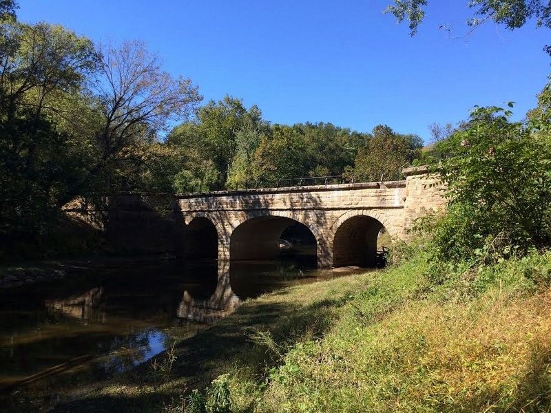
Today towpath hikers and bikers need a bridge to cross the Catoctin Creek here. Many decades ago canal boats needed a bridge too. The Catoctin Aqueduct, completed in 1834, served the canal until 1924. Imagine the scene here in the late 1800s - the loaded boats gliding by seemingly in midair, the shouts of the mule drivers, and the water leaking through the old stonework.
(Caption)
Boat captains called this "The Crooked Aqueduct" because of the sharp turns they had to negotiate upon entering and exiting. (Caption) The C&O Canal and the B&O Railroad struggled for transporting suprecmacy, especially here between Point of Rocks and Harpers Ferry. The boats are long gone, but the locomotives still echo through this valley - and on the same right-of-way.
Erected by National Park Service, U.S. Department of the Interior.
Topics and series. This historical marker is listed in these topic lists: Bridges & Viaducts • Waterways & Vessels. In addition, it is included in the Chesapeake and Ohio (C&O) Canal series list. A significant historical year for this entry is 1834.
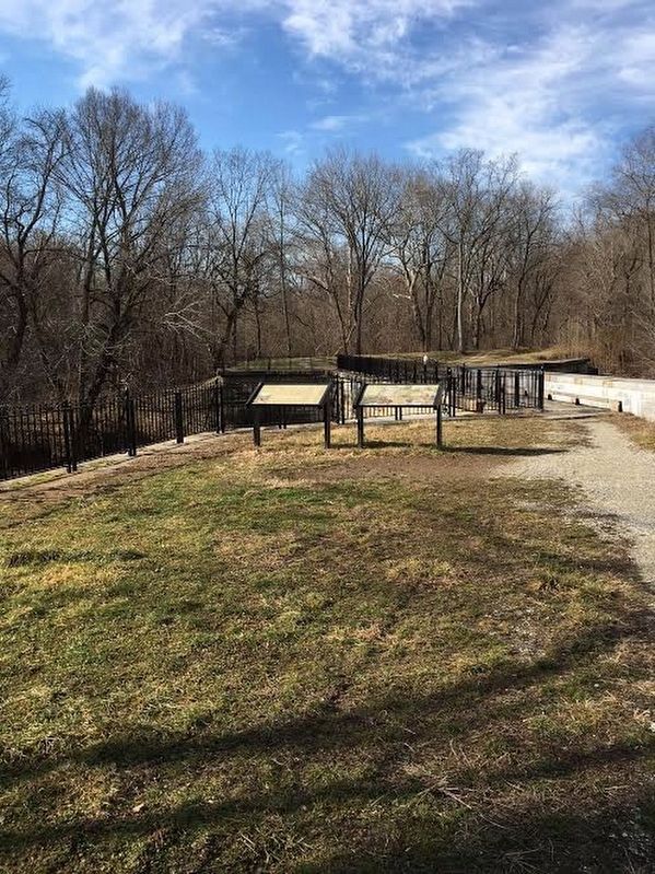
Location. 39° 18.664′ N, 77° 34.1′ W. Marker is near Brunswick, Maryland, in Frederick County. The marker is beside the C&O Canal Towpath on the eastern side of the aqueduct. Touch for map. Marker is in this post office area: Jefferson MD 21755, United States of America. Touch for directions.
Other nearby markers. At least 8 other markers are within 3 miles of this marker, measured as the crow flies. Stones Reunited (here, next to this marker); Aqueduct Stones (a few steps from this marker); The Beautiful Aqueduct (a few steps from this marker); Fall and Rise of an Aqueduct (a few steps from this marker); A Lockkeeper's Life (approx. 0.6 miles away); Abraham Lakin 2nd (approx. 1.8 miles away); Lockhouse 28 (approx. 2.3 miles away); A Canal Home (approx. 2.3 miles away). Touch for a list and map of all markers in Brunswick.
Credits. This page was last revised on September 28, 2020. It was originally submitted on February 6, 2017, by Brandon Stahl of Fairfax, Virginia. This page has been viewed 379 times since then and 19 times this year. Photos: 1, 2, 3, 4. submitted on February 6, 2017, by Brandon Stahl of Fairfax, Virginia. • J. J. Prats was the editor who published this page.


