Tulum, Quintana Roo, Mexico — The Yucatan Peninsula (The Southeast)
Trade and Navigation
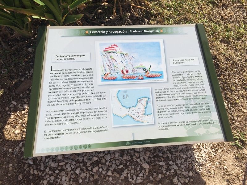
Comercio y navegación
Santuario and puerto seguro.
Los mayas participaron en el circuito comercial que abarcaba desde el centro de México hasta Honduras, para ello recorrían tierra adentro y navegaban por las costas, bahías, caletas y ensenadas, así como ríos, lagunas y estuarios. Sus embarcaciones eran canoas y no resistían las turbulencias del mar abierto, por lo que procuraban mantenerse cerca de la costa o en aguas bajas como medida de protección. En este circuito comercial, Tulum fue un importante puerto costero que vinculó el comercio marítimo y terrestre.
Hace quinientos o seiscientos años encontrarías frente a estas costas, grandes canoas impulsadas por remeros con cargamentos de algodón, miel, sal, navajas de obsidiana, adornos de jade, capas de plumas, piedras de molienda, entre otros productos.
En poblaciones de importancia a lo largo de la Costa Oriental, verías muelles donde se cargaban y descargaban todas las mercancías.
Pie de dibujo: Ilustración de Alberto Beltrán, tomado de “Los Mayas. La tierra de faisán y del venado.” Iluminó: Álvaro Laurel
English:
A secure sanctuary and trading port.
The mayas participated in the commercial circuit that extended from Central Mexico to Honduras, navigating along the coastlines, bays, coves, and inlets, as well as rivers, lakes, and estuaries. Since their boats (canoes) couldn’t resist the turbulence on the open sea, they made sure to hug the coastline or to travel in shallow waters as a means of protection. On this trading circuit, Tulum was an important coastal port that linked land and sea trade.
Five or six hundred years ago you would find oarsmen rowing long canoes along these coasts, loaded with shipments of cotton, honey, salt, obsidian blades, jade ornaments, feathered capes, and grindstones, among other products.
In towns of any importance up and down the East Coast, you would see docks where merchandise was loaded and unloaded.
Caption: Illustration by Alberto Beltrán, taken from “The Maya, Land of the pheasant and the deer.” Painting: Álvaro Laurel
Erected by Consejo Nacional para la Cultura y las Artes de México (CONACULTA).
Topics. This historical marker is listed in these topic lists: Industry & Commerce • Native Americans.
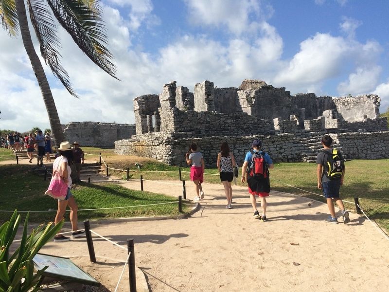
Location. 20° 12.923′ N, 87° 25.742′ W. Marker is in Tulum, Quintana Roo. Marker can be reached from Carretera Cancún - Tulum (Route 307). The marker is near the Palacio del Gran Señor at the Tulum Archaeological Site near the town of Tulum. Touch for map. Marker is in this post office area: Tulum QR 77700, Mexico. Touch for directions.
Other nearby markers. At least 6 other markers are
within walking distance of this marker. The Palace of the Great Lord (within shouting distance of this marker); Temple of the Descending God (within shouting distance of this marker); The Castle (about 90 meters away, measured in a direct line); The House of the Cenote (about 120 meters away); The Temple of the Stela (about 120 meters away); The Caste War 1847-1900 (approx. 0.3 kilometers away).

Photographed By J. Makali Bruton, January 16, 2017
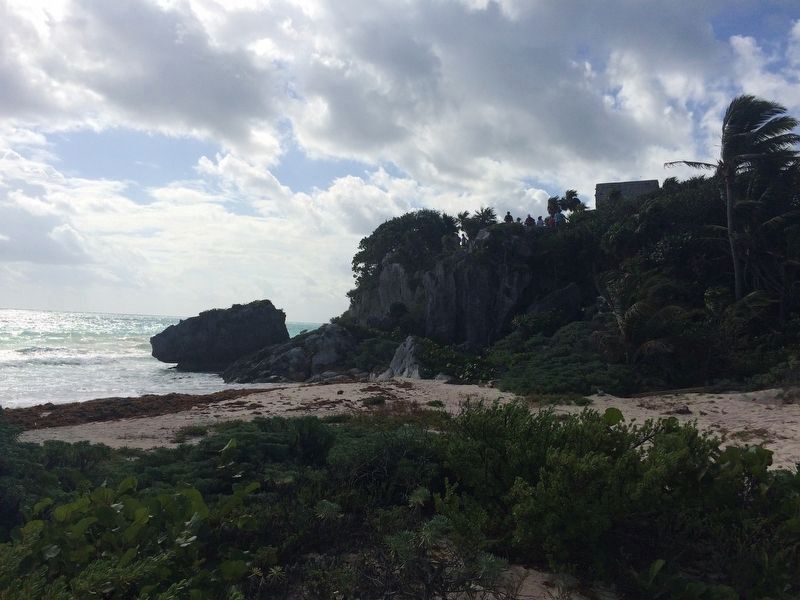
3. Possible location of the port at Tulum near the marker
This beach area just east of the marker was likely the location of the port of Tulum as it is a natural opening in the cliff wall along the Gulf of Mexico. The temple on top of the bluff is the Temple of the Descending God (el Templo del Dios Descendente).
Credits. This page was last revised on March 2, 2017. It was originally submitted on March 2, 2017, by J. Makali Bruton of Accra, Ghana. This page has been viewed 141 times since then and 4 times this year. Photos: 1, 2, 3. submitted on March 2, 2017, by J. Makali Bruton of Accra, Ghana.

