Rockville in Montgomery County, Maryland — The American Northeast (Mid-Atlantic)
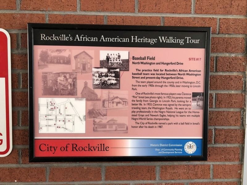
Baseball Field
North Washington and Hungerford Drive
— Rockville's African American Heritage Walking Tour —
The practice field for Rockville's African American baseball team was located between North Washington Street and present-day Hungerford Drive.
The team played around the county and in Washington, D.C. from the early 1900s through the 1950s, later moving to Lincoln Park.
One of Rockville's most famous players was Clarence "Pint" Isreal (see photo). In 1923, his parents moved the family from Georgia to Lincoln Park, looking for a better life. In 1933, Clarence was signed by the semipro traveling team, the Washington Royals. He went on to play professionally in the Negro National League for the Homestead Grays and Newark Eagles, helping his teams win multiple Negro World Series championships.
The City of Rockville named a park with a ball field in Isreal's honor after his death in 1987.
Erected by City of Rockville, Historic District Commission, Department of Community Planning and Development Services. (Marker Number 17.)
Topics and series. This historical marker is listed in these topic lists: African Americans • Sports. In addition, it is included in the Maryland, Rockville's African American Heritage Walking Tour series list. A significant historical year for this entry is 1923.
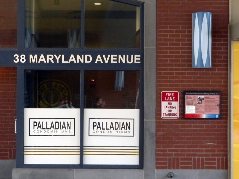
Location. 39° 5.169′ N, 77° 9.049′ W. Marker is in Rockville, Maryland, in Montgomery County. In an alley leading to the parking garages. Touch for map. Marker is at or near this postal address: 20 Maryland Avenue, Rockville MD 20850, United States of America. Touch for directions.
Other nearby markers. At least 8 other markers are within walking distance of this marker. Rockville Town Square (about 300 feet away, measured in a direct line); a different marker also named Rockville Town Square (about 400 feet away); a different marker also named Rockville Town Square (about 400 feet away); a different marker also named Rockville Town Square (about 500 feet away); Father Divine Birthplace (about 600 feet away); Mr. T's (about 600 feet away); Clinton A.M.E. Zion Church (about 600 feet away); Of By For (about 600 feet away). Touch for a list and map of all markers in Rockville.
Also see . . . Rockville's African American Walking Tour. Rockville website entry (Submitted on March 22, 2017, by Allen C. Browne of Silver Spring, Maryland.)
Credits. This page was last revised on April 6, 2024. It was originally submitted on March 22, 2017, by Allen C. Browne of Silver Spring, Maryland. This page has been viewed 1,115 times since then and 14 times this year. Photos: 1. submitted on June 6, 2021, by Devry Becker Jones of Washington, District of Columbia. 2. submitted on March 22, 2017, by Allen C. Browne of Silver Spring, Maryland. • Bill Pfingsten was the editor who published this page.

