Pascagoula in Jackson County, Mississippi — The American South (East South Central)
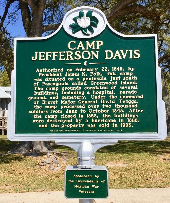
Camp Jefferson Davis
Sub-Panel
Sponsored by the Descendants of Mexican War Veterans
Erected 2014 by the Mississippi Department of Archives and History.
Topics and series. This historical marker is listed in these topic lists: Cemeteries & Burial Sites • Military • Notable Places • War, Mexican-American. In addition, it is included in the Mississippi State Historical Marker Program series list. A significant historical date for this entry is February 22, 1848.
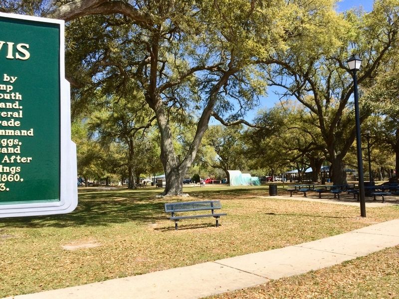
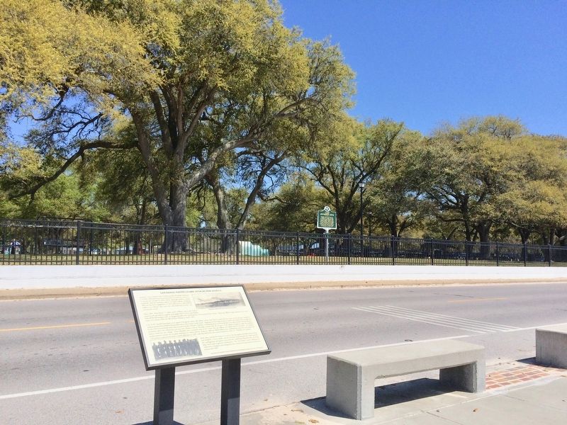
Location. 30° 20.616′ N, 88° 32.088′ W. Marker is in Pascagoula, Mississippi, in Jackson County. Marker is on Beach Boulevard west of City Park Street, on the right when traveling west. Located within Beach Park, along Beach Boulevard. Touch for map. Marker is at or near this postal address: 600 City Park Street, Pascagoula MS 39567, United States of America. Touch for directions.
Other nearby markers. At least 8 other markers are within walking distance of this marker. Louisiana Native Guard Attacks Pascagoula (a few steps from this marker); President Zachary Taylor's Summer Home Site (within shouting distance of this marker); Camp Jefferson Davis - Soldiers Return From The Mexican War - 1848 (about 600 feet away, measured in a direct line); Camp Twiggs and the Military Asylum 1849-1855 (approx. 0.3 miles away); Camp Lawson – Military Hospital on Greenwood Island – 1848 (approx. 0.3 miles away); The Longfellow House (approx. 0.4 miles away); Clark House (approx. ¾ mile away); St. Peter Missionary Baptist Church (approx. 0.9 miles away). Touch for a list and map of all markers in Pascagoula.
Also see . . . Fort Wiki article on Camp Jefferson Davis. (Submitted on March 24, 2017, by Mark Hilton of Montgomery, Alabama.)
Credits. This page was last revised on June 1, 2018. It was originally submitted on March 24, 2017, by Mark Hilton of Montgomery, Alabama. This page has been viewed 448 times since then and 42 times this year. Photos: 1, 2, 3. submitted on March 24, 2017, by Mark Hilton of Montgomery, Alabama.


