Near Prairie in Monroe County, Mississippi — The American South (East South Central)
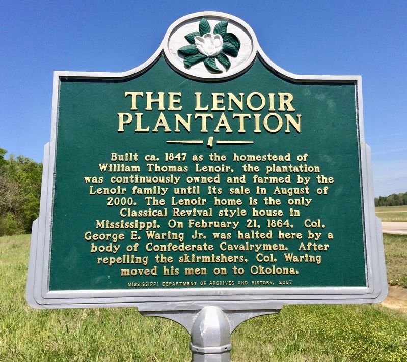
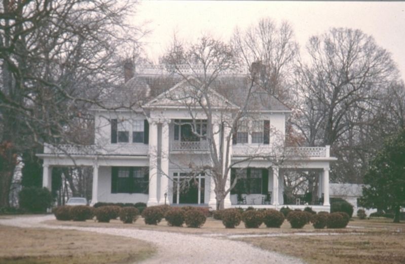
The Lenoir Plantation
Erected 2007 by the Mississippi Department of Archives and History.
Topics. This historical marker is listed in these topic lists: Architecture • Landmarks • Notable Buildings • War, US Civil. A significant historical date for this entry is February 21, 1864.
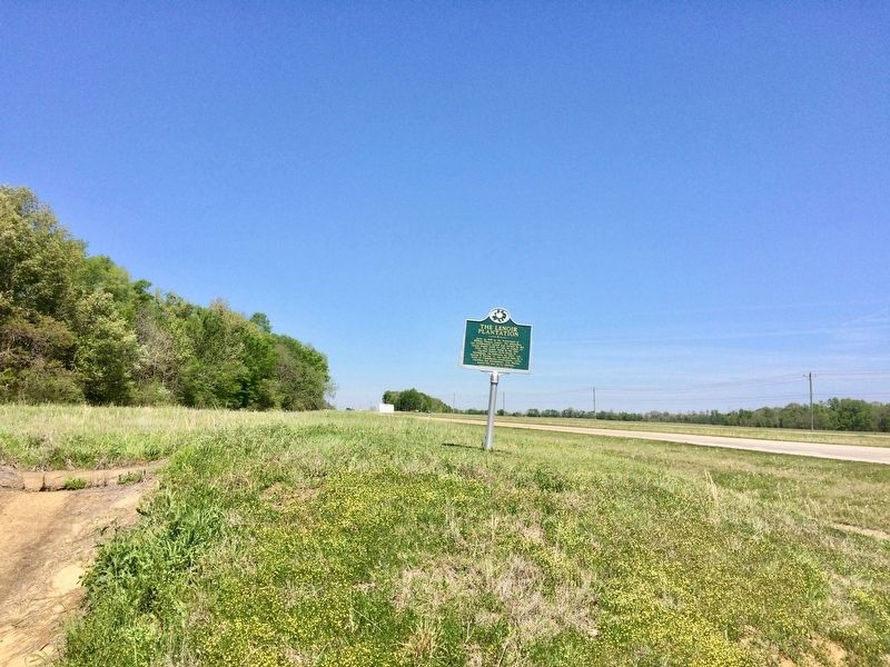
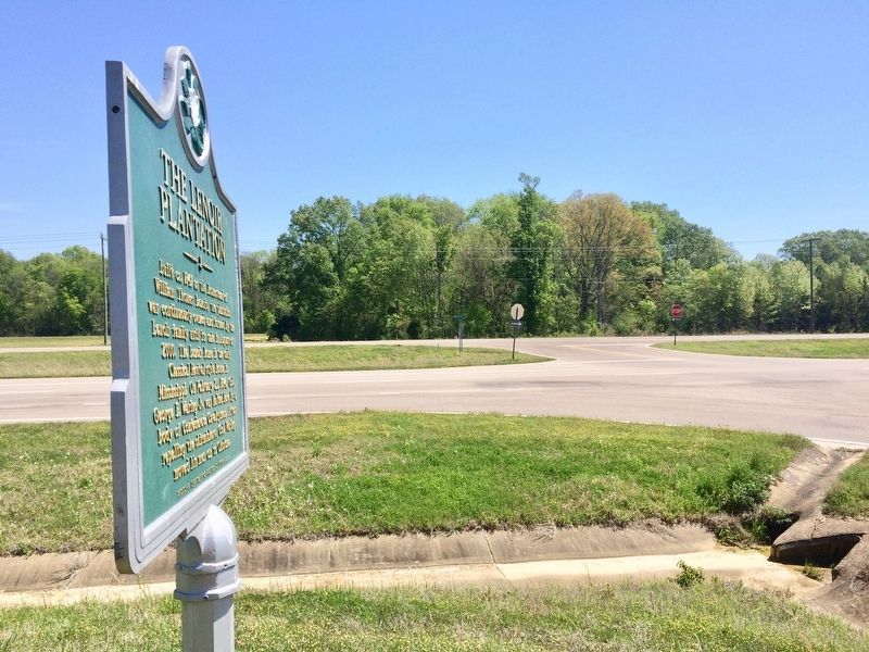
Location. 33° 45.181′ N, 88° 41.046′ W. Marker is near Prairie, Mississippi, in Monroe County. Marker is at the intersection of Alternate Mississippi Route 45 and Lenoir Loop, on the right when traveling south on State Route 45Alternate . Touch for map. Marker is in this post office area: Prairie MS 39756, United States of America. Touch for directions.
Other nearby markers. At least 8 other markers are within 10 miles of this marker, measured as the crow flies. Gulf Ordnance Plant (approx. 3.3 miles away); Payne Field Site (approx. 7˝ miles away); Palo Alto (approx. 8.2 miles away); Reuben Davis (approx. 8.9 miles away); Judge Eugene O. Sykes (approx. 9.1 miles away); Brigadier General John Gregg (approx. 9.1 miles away); Aberdeen (approx. 9.2 miles away); Dr. W. A. Evans (approx. 9.3 miles away).
Also see . . .
1. National Register of Historic Places form. (.pdf). (Submitted on April 10, 2017, by Mark Hilton of Montgomery, Alabama.)
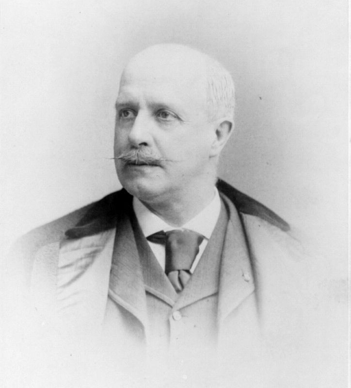
2. Wikipedia article on George E. Waring Jr. (Submitted on April 10, 2017, by Mark Hilton of Montgomery, Alabama.)
Credits. This page was last revised on April 14, 2017. It was originally submitted on April 10, 2017, by Mark Hilton of Montgomery, Alabama. This page has been viewed 2,940 times since then and 421 times this year. Photos: 1, 2, 3, 4, 5. submitted on April 10, 2017, by Mark Hilton of Montgomery, Alabama.
