Rockville in Montgomery County, Maryland — The American Northeast (Mid-Atlantic)
Rockville Town Square
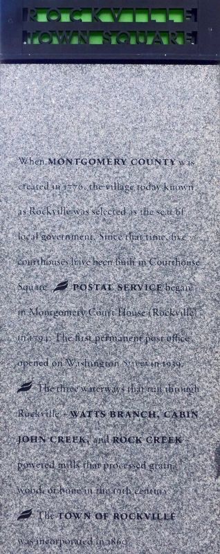
When Montgomery County was created in 1776, the village today known as Rockville was selected as the seat of local government. Since that time, five court houses have been built in Courthouse Square. § Postal Service began in Montgomery Court House Rockville in 1794. The first permanent post office opened on Washington Street in 1939. § The three waterways that run through Rockville — Watts Branch, Cabin John Creek, and Rock Creek powered mills that processed grain, wood, or bone in the 19th century. § The Town of Rockville was incorporated in 1860.
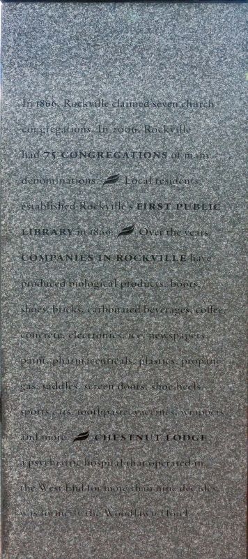
In 1866, Rockville claimed seven church congregations. In 2006, Rockville had 75 Congregations of many denominations. § Local residents established Rockville's First Public Library in 1867. § Over the years Companies in Rockville have produced biological products, boots, shoes, bricks, carbonated beverages, coffee, concrete, electronics, ice, newspapers, paint, pharmaceuticals, plastics, propane, gas, saddles, screen doors, shoe heels, sports cars, toothpaste, vaccines, wrappers, and more. § Chestnut Lodge a psychiatric hospital that operated in the West End for more than nine decades was formerly the Woodlawn Hotel.
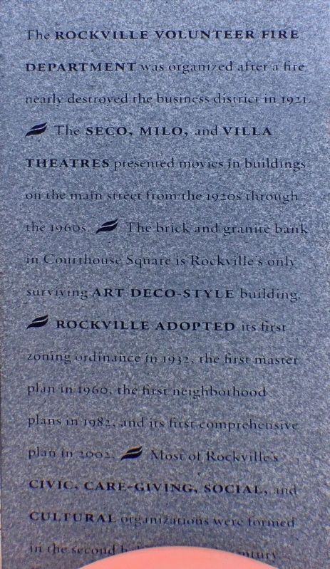
The Rockville Volunteer Fire Department was organized after a fire nearly destroyed the business district in 1921. § The Seco, Milo, and Villa Theatres presented movies in buildings on the main street from the 1920s through the 1960s. § The brick and granite bank in Courthouse Square is Rockville's only surviving Art Deco Style building. § Rockville Adopted its first zoning ordinance in 1932, the first master plan in 1960, the first neighborhood plans in 1982, and its first comprehensive plan in 2002. § Most of Rockville's Civic , Care-Giving, Social, Cultural organizations were formed in the second half of the 20th Century.
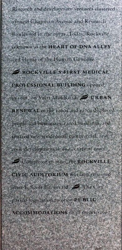
Research and development ventures clustered around Chapman Avenue and Research Boulevard in the 1950s. Today, Rockville is known as the Heart of DNA Alley and Home of the Human Genome. § Rockville's First Medical Professional Building opened in 1958, on Veirs Mill Road. § Urban Renewal in the 1960s and 1970s displaced people and business razed buildings and spurred new residential, commercial, and civic development in the center of town. § Completed in 1960, the Rockville Civic Auditorium was later renamed after F. Scott Fitzgerald. § The City passed legislation to open Public Accommodations to all races in 1962.
Topics and series. This historical marker is listed in this topic list: Notable Places. In addition, it is included in the Art Deco series list. A significant historical year for this entry is 1776.
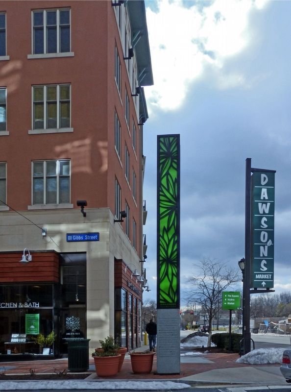
Location. 39° 5.212′ N, 77° 9.122′ W. Marker is in Rockville, Maryland, in Montgomery County. Marker is at the intersection of Gibbs Street and Beall Avenue on Gibbs Street. Touch for map. Marker is in this post office area: Rockville MD 20850, United States of America. Touch for directions.
Other nearby markers. At least 8 other markers are within walking distance of this marker. Of By For (within shouting distance of this marker); Clinton A.M.E. Zion Church (within shouting distance of this marker); a different marker also named Rockville Town Square (within shouting distance of this marker); Mr. T's (within shouting distance of this marker); Rockville's First Colored School / Rockville's Second Colored School (about 300 feet away, measured in a direct line); Galilean Temple (about 400 feet away); Baseball Field (about 400 feet away); Snowden Funeral Home (about 500 feet away). Touch for a list and map of all markers in Rockville.
Credits. This page was last revised on September 14, 2020. It was originally submitted on April 16, 2017, by Allen C. Browne of Silver Spring, Maryland. This page has been viewed 274 times since then and 22 times this year. Photos: 1, 2, 3, 4, 5, 6. submitted on April 16, 2017, by Allen C. Browne of Silver Spring, Maryland. • Bill Pfingsten was the editor who published this page.
