Jackson in Butts County, Georgia — The American South (South Atlantic)
Jackson
"Little was left besides themselves and their houses."
— March to the Sea Heritage Trail —
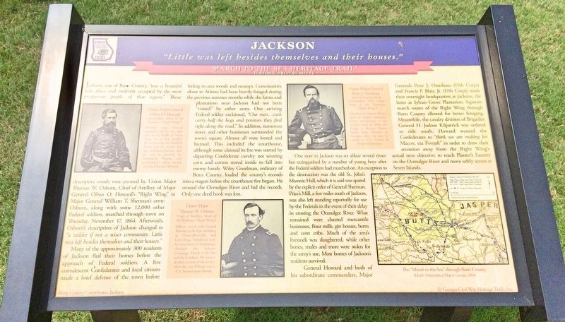
Jackson, seat of Butts County, "was a beautiful little place and evidently occupied by the most prosperous people of that region. Those descriptive words were penned by Union Major Thomas W Osborn, Chief of Artillery of Major General Oliver O. Howard's "Right Wing in Major General William T. Sherman's army. Osborn, along with some 12,000 other Federal soldiers, marched through town on Thursday, November 17, 1864. Afterwards, Osborn's description of Jackson changed to "a sadder if not a wiser community. Little was left besides themselves and their houses."
Many of the approximately 300 residents of Jackson fled their homes before the approach of Federal soldiers. A few convalescent Confederates and local citizens made a brief defense of the town before hiding in area woods and swamps. Communities closer to Atlanta had been heavily foraged during the previous summer months while the farms and plantations near Jackson had not been visited by either army. One arriving Federal soldier exclaimed, "Our men...can't carry half the hogs and potatoes they find right along the road." In addition, numerous stores and other businesses surrounded the town's square. Almost all were looted and burned. This included the courthouse, although some claimed its fire was started by departing Confederate cavalry not wanting corn and cotton stored inside to fall into enemy hands. Wiley Goodman, ordinary of Butts County, loaded the county's records into a wagon before the courthouse fire began. He crossed the Ocmulgee River and hid the records. Only one deed book was lost.
One store in Jackson was set ablaze several times but extinguished by a number of young boys after the Federal soldiers had marched on. An exception to the destruction was the old St. John's Masonic Hall, which it is said was spared by the explicit order of General Sherman. Prices Mill, a few miles south of Jackson was also left standing reportedly for use by the Federals in the event of their delay in crossing the Ocmulgee River. What remained were charred mercantile businesses, flour mills, gin houses, barns and corn cribs. Much of the area's livestock was slaughtered, while other horses, mules and more were stolen for the army's use. Most homes of Jackson's residents survived.
General Howard and both of his subordinate commanders, Major Generals Peter J. Osterhaus (15th Corps) and Francis P. Blair, Jr. (17th Corps) made their overnight headquarters at Jackson, the latter at Sylvan Grove Plantation. Separate march routes of the Right Wing through Butts County allowed for better foraging. Meanwhile, the cavalry division of Brigadier General H. Judson Kilpatrick was ordered to ride south. Howard wanted the Confederates to "think we are making for Macon, via Forsyth" in order to draw their attention away from the Right Wing's actual next objective: to reach Planter's Factory on the Ocmulgee River and move safely across at Seven Islands.
[Photo captions]
Top left: Union Major General Oliver O. Howard Commander, Army of the Tennessee ("Right Wing") Howard was seriously wounded and lost his right arm in the Battle of Seven Pines, Va. on May 31, 1862. He was awarded the Medal of Honor was {sic} his actions that day. A devout Christian, after the war he directed the Freedman's Bureau and co-founded a college named for him, Howard University.
Middle left: Union Major Thomas W. Osborn Chief of Artillery, Army of the Tennessee ("Right Wing") Osborn served with General Howard in the East, including at Chancellorsville and Gettysburg. Transferred west he was present at Chattanooga through the Atlanta Campaign, March to the Sea and the Carolinas. He wrote a detailed account of his service. After the war Osborn was a U.S. Senator from Florida.
Middle right: Union Major General Peter J. Osterhaus (prior to his promotion) Commander, 15th Corps, Army of the Tennessee ("Right Wing") Osterhaus was born in Prussia (part of today's Germany) before immigrating to the United States in
1848. He
fought in Western Theater
battles from Missouri to
Georgia. After the war he
served as U.S. Consul in
France & Germany.
Bottom right Map: The "March to the Sea" through Butts County
(Lloyd's Topographical Map of Georgia, 1864)
Erected 2016 by Georgia Civil War Heritage Trails, Inc. (Marker Number R5.)
Topics and series. This historical marker is listed in this topic list: War, US Civil. In addition, it is included in the Georgia Civil War Trails, the Historically Black Colleges and Universities, and the Sherman’s March to the Sea series lists. A significant historical date for this entry is November 17, 1864.
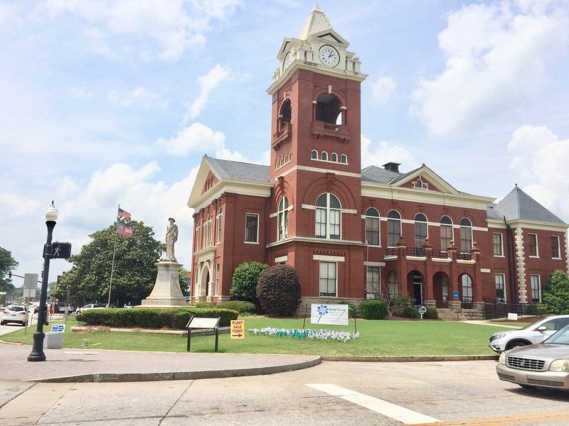
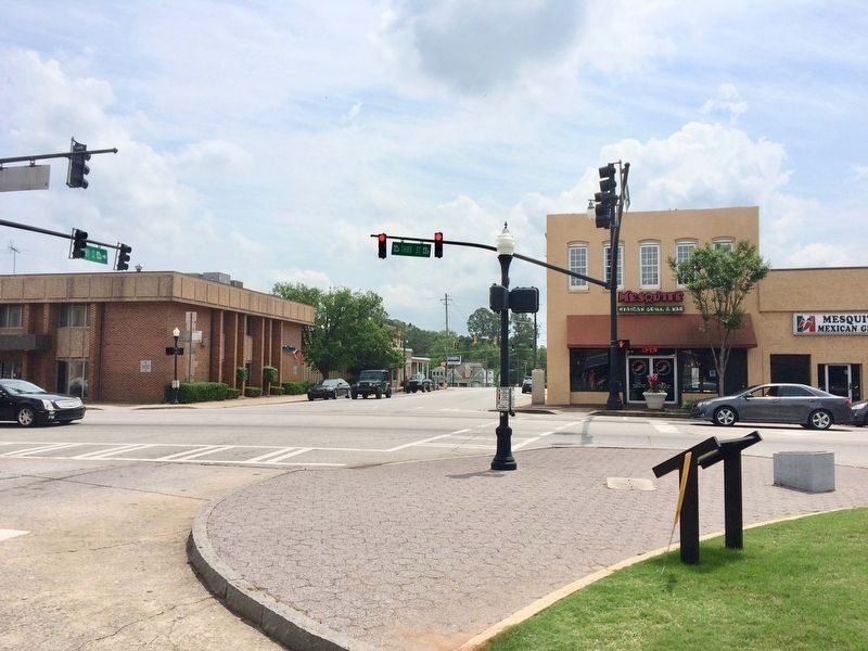
Location. 33° 17.673′ N, 83° 57.996′ W. Marker is in Jackson, Georgia, in Butts County. Marker is on South Mulberry Street near 3rd Street (U.S. 23), on the right when traveling south. Located on the lawn of the Butts County Courthouse. Touch for map. Marker is at or near this postal address: 25 3rd Street, Jackson GA 30233, United States of America. Touch for directions.
Other nearby markers. At least 8 other markers are within 5 miles of this marker, measured as the crow flies. Butts County Confederate Monument (here, next to this marker); Crossing the Ocmulgee (a few steps from this marker); The Right Wing at Jackson (within shouting distance of this marker); Butts County (within shouting distance of this marker); Sylvan Grove Plantation (approx. 0.9 miles away); a different marker also named Sylvan Grove Plantation (approx. 0.9 miles away); Iron Springs (approx. 3˝ miles away); “Idlewilde” (approx. 4.1 miles away). Touch for a list and map of all markers in Jackson.
Also see . . . Jackson Progress-Argus article on dedication of this marker. (Submitted on May 3, 2017, by Mark Hilton of Montgomery, Alabama.)
Additional keywords. Sherman
Credits. This page was last revised on June 23, 2019. It was originally submitted on May 3, 2017, by Mark Hilton of Montgomery, Alabama. This page has been viewed 432 times since then and 25 times this year. Photos: 1, 2, 3. submitted on May 3, 2017, by Mark Hilton of Montgomery, Alabama.


