Tampa in Hillsborough County, Florida — The American South (South Atlantic)
Tampa Confederate Salt Works
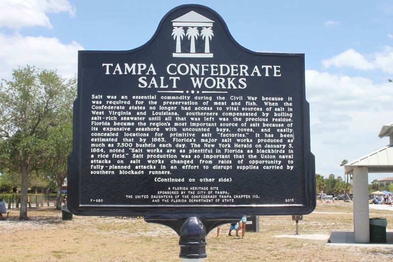
Salt was an essential commodity during the Civil War because it was required for the preservation of meat and fish. When the Confederate states no longer had access to vital sources of salt in West Virginia and Louisiana, southerners compensated by boiling salt-rich seawater until all that was left was the precious residue. Florida became the regionís most important source of salt because of its expansive seashore with uncounted bays, coves, and easily concealed locations for primitive salt "factories." It has been estimated that by 1863, Florida's major salt works produced as much as 7,500 bushels each day. The New York Herald on January 5, 1864, noted "Salt works are as plentiful in Florida as blackbirds in a rice field." Salt production was so important that the Union naval attacks on salt works changed from raids of opportunity to fully-planned attacks in an effort to disrupt supplies carried by southern blockade runners.
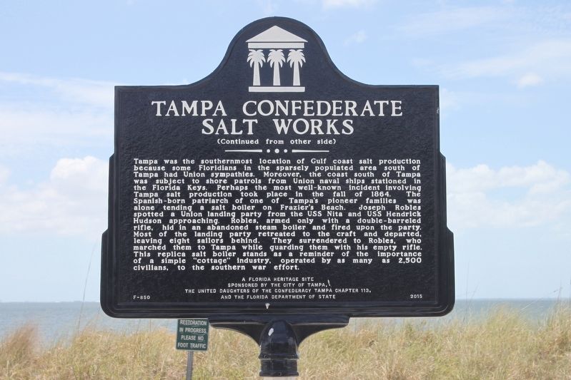
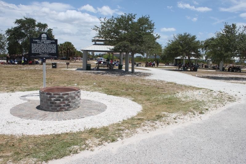
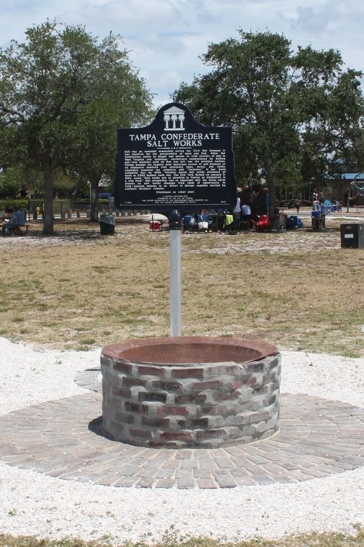
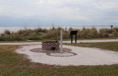
Tampa was the southernmost location of Gulf coast salt production because some Floridians in the sparsely populated area south of Tampa had Union sympathies. Moreover, the coast south of Tampa was subject to shore patrols from Union naval ships stationed in the Florida Keys. Perhaps the most well-known incident involving Tampa salt production took place in the fall of 1864. The Spanish-born patriarch of one of Tampa's pioneer families was alone tending a salt boiler on Frazierís Beach. Joseph Robles spotted a Union landing party from the USS Nita and USS Hendrick Hudson approaching. Robles, armed only with a double-barreled rifle, hid in an abandoned steam boiler and fired upon the party. Most of the landing party retreated to the craft and departed, leaving eight sailors behind. They surrendered to Robles, who marched them to Tampa while guarding them with his empty rifle. This replica salt boiler stands as a reminder of the importance of a simple "cottage" industry, operated by as many as 2,500 civilians, to the southern war effort.
Erected 2015 by The City of Tampa, The United Daughters of the Confederacy Tampa Chapter 113, and the Florida Department of State. (Marker Number F-850.)
Topics. This historical marker is listed in these topic lists: Animals • Industry & Commerce • Natural Resources • War, US Civil. A significant historical year for this entry is 1864.
Location. Marker is missing. It was located near 27° 57.055′ N, 82° 32.763′ W. Marker was in Tampa, Florida, in Hillsborough County. Marker could be reached from West Cypress Street, half a mile west of North Reo Street, on the left when traveling west. Marker is located in Cypress Point Park near the beach. Touch for map. Marker was at or near this postal address: 5620 West Cypress Street, Tampa FL 33607, United States of America. Touch for directions.
Other nearby markers. At least 8 other markers are within 3 miles of this location, measured as the crow flies. Cypress Point Park Historic Salt Works Display (here, next to this marker); Hillsborough County World War I War Dead Memorial (approx. 1.1 miles away); Memorial Highway (approx. 1.1 miles away); The Pam Callahan Nature Preserve (approx. 2.3 miles away); Carver City-Lincoln Gardens (approx. 2Ĺ miles away); W.T. Edwards Hospital Complex (approx. 2.9 miles away); Drew Field (approx. 2.9 miles away); George Guida (approx. 3.1 miles away). Touch for a list and map of all markers in Tampa.
Credits. This page was last revised on February 2, 2023. It was originally submitted on May 3, 2017, by Tim Fillmon of Webster, Florida. This page has been viewed 814 times since then and 57 times this year. Last updated on January 29, 2023, by Dave W of Co, Colorado. Photos: 1, 2, 3, 4. submitted on May 3, 2017, by Tim Fillmon of Webster, Florida. 5. submitted on January 29, 2023, by Dave W of Co, Colorado. • Bernard Fisher was the editor who published this page.
