North Newport News , Virginia — The American South (Mid-Atlantic)
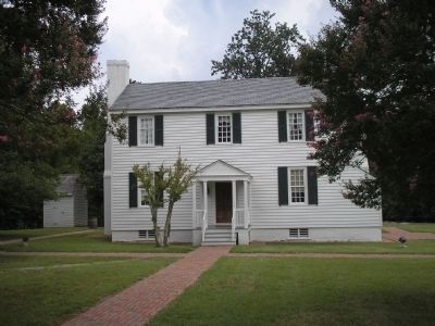
Endview
Home of the Warwick Beauregards
— 1862 Peninsula Campaign —
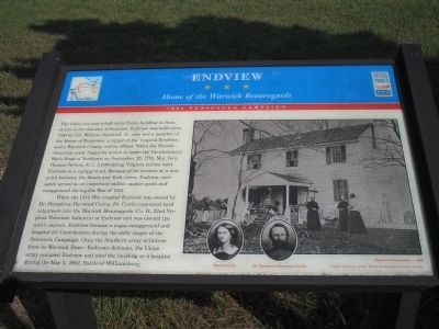
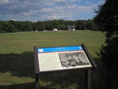
When the Civil War erupted Endview was owned by Dr. Humphrey Harwood Curtis. Dr. Curtis organized local volunteers into the Warwick Beauregards (Co. H, 32rd Virginia Volunteer Infantry) at Endview and was elected the unit’s captain. Endview became a major campground and hospital for Confederates during the early stages of the Peninsula Campaign. Once the Southern army withdrew from its Warwick River – Yorktown defenses, the Union army occupied Endview and used the building as a hospital during the May 5, 1862, Battle of Williamsburg.
Erected by Virginia Civil War Trails.
Topics and series. This historical marker is listed in these topic lists: War of 1812 • War, US Civil • War, US Revolutionary. In addition, it is included in the Virginia Civil War Trails series list. A significant historical date for this entry is May 5, 1862.
Location. 37° 12.765′ N, 76° 34.263′ W. Marker is in Newport News, Virginia. It is in North Newport News. Marker is on Yorktown Road (Virginia Route 238), on the right when traveling north. Touch for map. Marker is at or near this postal address: 362 Yorktown Road, Newport News VA 23603, United States of America. Touch for directions.
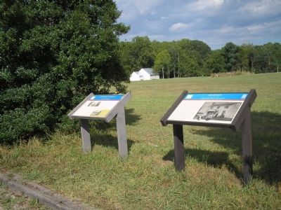
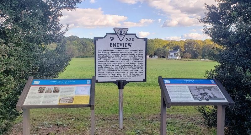
Other nearby markers. At least 8 other markers are within walking distance of this marker. A different marker also named Endview (here, next to this marker); Lebanon Church (here, next to this marker); Aviation Field Yorktown (a few steps from this marker); a different marker also named Lebanon Church (a few steps from this marker); Endview Plantation (about 700 feet away, measured in a direct line); a different marker also named Endview (about 700 feet away); The Endview Landscape (about 700 feet away); The Dairy House (approx. 0.2 miles away). Touch for a list and map of all markers in Newport News.
More about this marker. The right side of the marker contains a photograph of the Endview Plantation,
c. 1899, and photographs of Maria Curtis and Dr. Humphrey Harwood Curtis. Images Courtesy of Mrs. Elizabeth Fauntleroy Smith Bentien.
Related markers. Click here for a list of markers that are related to this marker. Markers found at the Endview Plantation.
Also see . . .
1. History of Endview Plantation. Endview Plantation website. (Submitted on August 17, 2008, by Bill Coughlin of Woodland Park, New Jersey.)
2. The Peninsula Campaign. (Submitted on August 17, 2008, by Bill Coughlin of Woodland Park, New Jersey.)
Credits. This page was last revised on February 1, 2023. It was originally submitted on August 17, 2008, by Bill Coughlin of Woodland Park, New Jersey. This page has been viewed 1,766 times since then and 35 times this year. Last updated on September 8, 2021, by Bradley Owen of Morgantown, West Virginia. Photos: 1, 2, 3. submitted on August 17, 2008, by Bill Coughlin of Woodland Park, New Jersey. 4. submitted on October 17, 2021, by Bradley Owen of Morgantown, West Virginia. 5. submitted on August 17, 2008, by Bill Coughlin of Woodland Park, New Jersey. • J. Makali Bruton was the editor who published this page.
