Hampton Roads Center , Virginia — The American South (Mid-Atlantic)
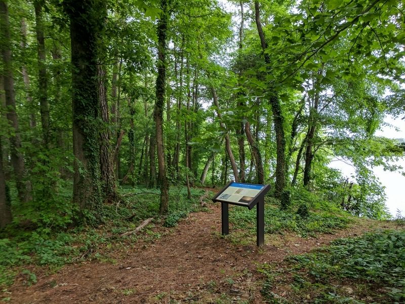
Battle of Big Bethel
Changing Landscape
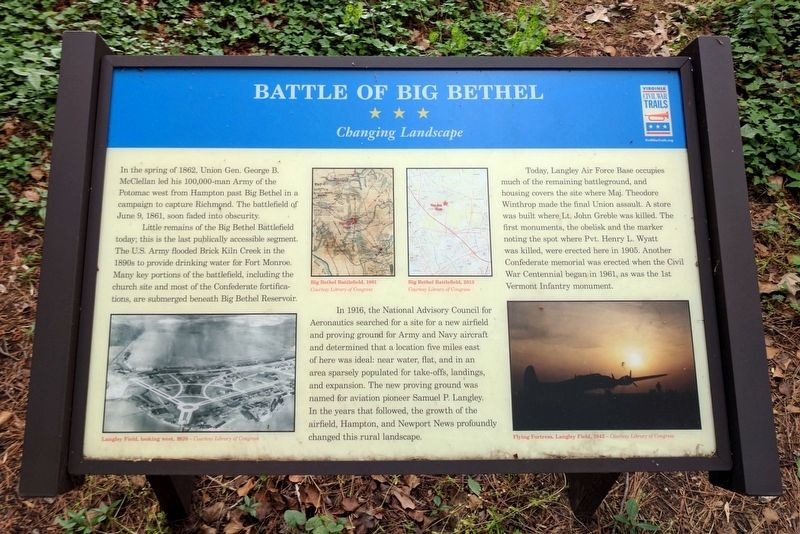
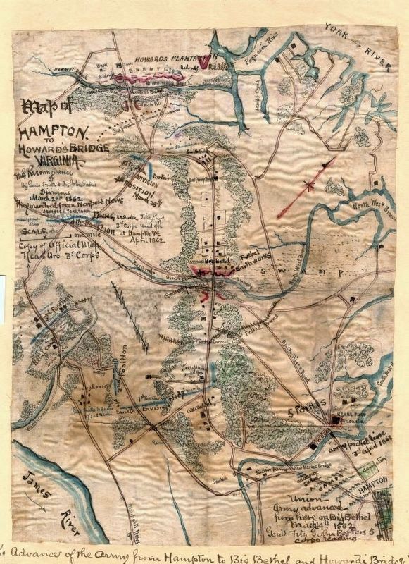
In the spring of 1862, Union Gen. George B. McClellan led his 100,000-man Army of the Potomac west from Hampton past Big Bethel in a campaign to capture Richmond. The battlefield of June 9, 1861, soon faded into obscurity.
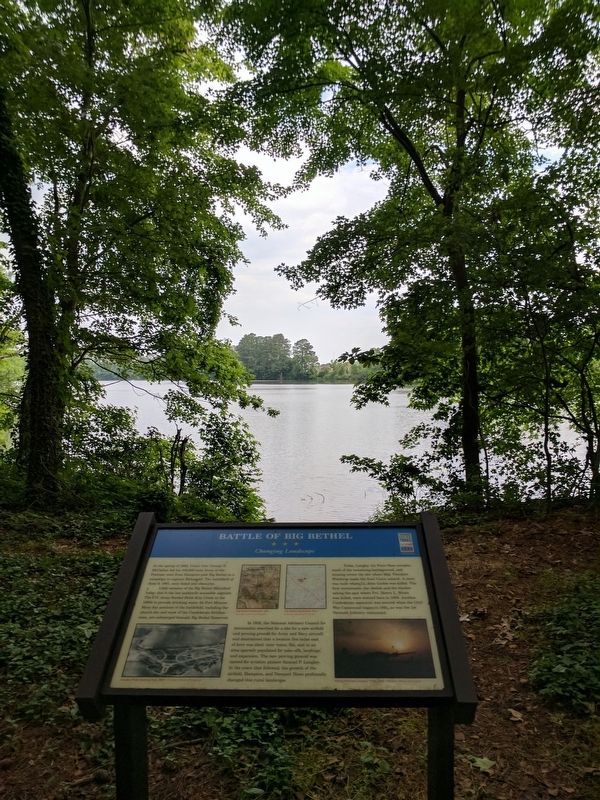
Little remains of the Big Bethel Battlefield today; this is the last publicly accessible segment. The U.S. Army flooded Brick Kiln Creek in the 1890s to provide drinking water for Fort Monroe. Many key portions of the battlefield, including the church site and most of the Confederate fortifications, are submerged beneath Big Bethel Reservoir.
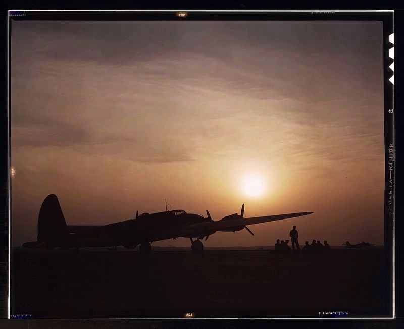
In 1916, the National Advisory Council for Aeronautics searched for a site for a new airfield and proving ground for Army and Navy aircraft and determined that a location five miles east of here was ideal: near water, flat, and in an area sparsely populated for take-offs, landings, and expansion. The new proving ground was named for aviation pioneer Samuel P. Langley. In the years that followed, the growth of the airfield, Hampton, and Newport News profoundly changed this rural landscape.
Today, Langley Air Force Base occupies much of the remaining battleground, and housing covers the site where Maj. Theodore Winthrop made the final Union assault. A store was built where Lt. John Greble was killed. The first monuments, the obelisk and the marker noting the spot where Pvt. Henry L. Wyatt was killed, were erected here in 1905. Another Confederate memorial was erected when the Civil War Centennial began in 1961, as was the 1st Vermont Infantry monument.
(captions)
Langley Field, looking west, 1920 – Courtesy Library of Congress
Big Bethel Battlefield, 1861 Courtesy Library of Congress
Big Bethel Battlefield, 2013 Courtesy Library of Congress
Flying Fortress, Langley Field, 1942 – Courtesy Library of Congress
Erected 2016 by Virginia Civil War Trails. (Marker Number 5.)
Topics and series. This historical marker is listed in this topic list: War, US Civil. In addition, it is included in the Virginia Civil War Trails series list. A significant historical date for this entry is June 9, 1861.
Location. 37° 5.507′ N, 76° 25.567′ W. Marker is in Hampton, Virginia. It is in Hampton Roads Center. Marker can be reached from Big Bethel Road (Virginia Route 600) 0.1 miles north of Semple Farm Road, on the left when traveling north. Located in Bethel Park. Touch for map. Marker is in this post office area: Hampton VA 23666, United States of America. Touch for directions.
Other nearby markers. At least 8 other markers are within walking distance of this marker. A different marker also named Battle of Big Bethel (a few steps from this marker); a different marker also named Battle of Big Bethel
(a few steps from this marker); a different marker also named Battle of Big Bethel (within shouting distance of this marker); a different marker also named Battle of Big Bethel (within shouting distance of this marker); Battle of Big Bethel Union Monument (within shouting distance of this marker); a different marker also named Battle of Big Bethel (within shouting distance of this marker); a different marker also named Battle of Big Bethel (within shouting distance of this marker); a different marker also named Battle of Big Bethel (within shouting distance of this marker). Touch for a list and map of all markers in Hampton.
Credits. This page was last revised on February 1, 2023. It was originally submitted on May 29, 2017, by Bernard Fisher of Richmond, Virginia. This page has been viewed 737 times since then and 106 times this year. Photos: 1. submitted on May 29, 2017, by Bernard Fisher of Richmond, Virginia. 2, 3. submitted on May 30, 2017. 4, 5. submitted on May 29, 2017, by Bernard Fisher of Richmond, Virginia.
