Ashton in Fremont County, Idaho — The American West (Mountains)
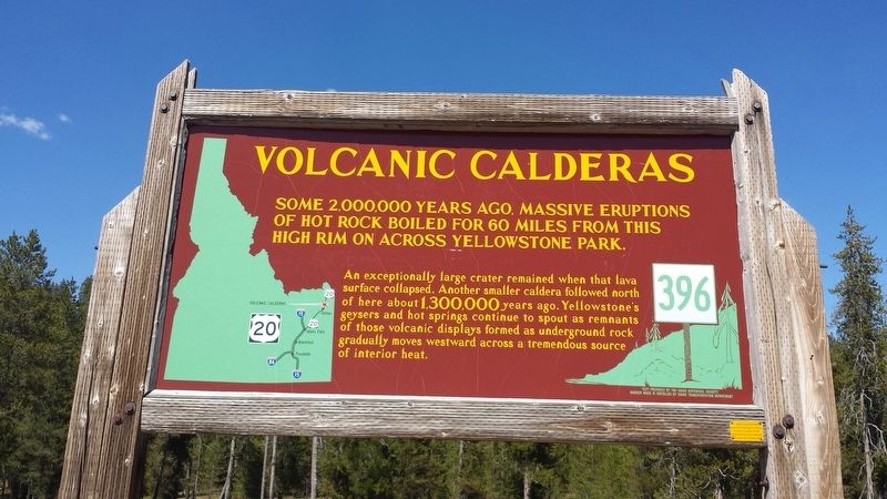
Volcanic Calderas
An exceptionally large crater remained when that lava surface collapsed. Another smaller caldera followed north of here about 1,300,000 years ago. Yellowstone's geysers and hot springs continue to spout as remnants of those volcanic displays formed as underground rock gradually moves westward across a tremendous source of interior heat.
Erected by Idaho Historical Society & Idaho Transportation Department. (Marker Number 396.)
Topics and series. This historical marker is listed in this topic list: Natural Features. In addition, it is included in the Idaho State Historical Society series list.
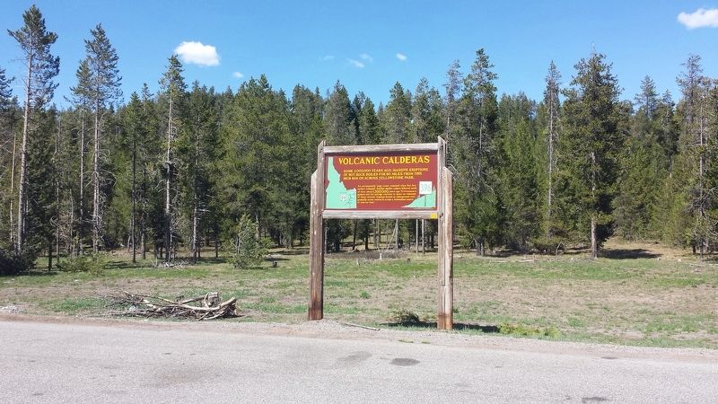
Location. 44° 11.032′ N, 111° 26.177′ W. Marker is in Ashton, Idaho, in Fremont County. Marker is on U.S. 20, 0.1 miles north of Anderson Mill Canyon Road, on the right when traveling north. Located in Caribou-Targhee National Forest. Touch for map. Marker is in this post office area: Ashton ID 83420, United States of America. Touch for directions.
Other nearby markers. At least 8 other markers are within 12 miles of this marker, measured as the crow flies. Big Falls Inn (approx. 5.4 miles away); The Three Tetons (approx. 5.7 miles away); Caldera Lookout (approx. 7.1 miles away); Ashton-Marysville Area Pioneers (approx. 7.6 miles away); Bear Gulch Ski Basin (approx. 7.6 miles away); Teton Mountain Range (approx. 7.8 miles away); Harriman State Park (approx. 8.7 miles away); Harriman Wildlife Refuge (approx. 11.9 miles away). Touch for a list and map of all markers in Ashton.
Also see . . .
1. Island Park Caldera on Wikipedia. (Submitted on May 30, 2017, by Michael Herrick of Southbury, Connecticut.)
2. Yellowstone Caldera on Wikipedia. (Submitted on May 30, 2017, by Michael Herrick of Southbury, Connecticut.)
Credits. This page was last revised on May 30, 2017. It was originally submitted on May 30, 2017, by Michael Herrick of Southbury, Connecticut. This page has been viewed 1,195 times since then and 113 times this year. Photos: 1, 2. submitted on May 30, 2017, by Michael Herrick of Southbury, Connecticut.

