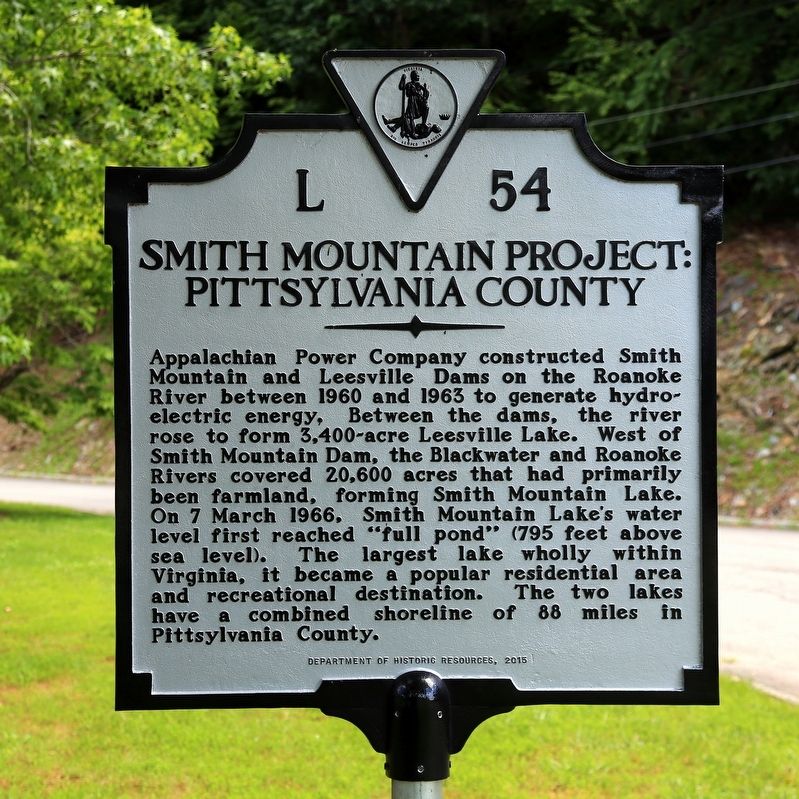
Near Sandy Level in Pittsylvania County, Virginia — The American South (Mid-Atlantic)
Smith Mountain Project
Pittsylvania County
Erected 2015 by Department of Historic Resources. (Marker Number L-54.)
Topics and series. This historical marker is listed in these topic lists: Charity & Public Work • Waterways & Vessels. In addition, it is included in the Virginia Department of Historic Resources (DHR) series list. A significant historical date for this entry is March 7, 1966.
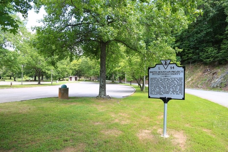
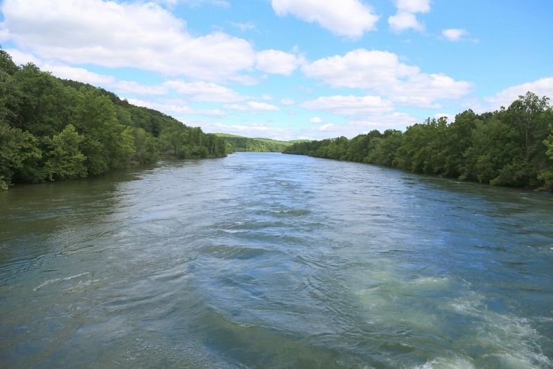
Location. 37° 2.111′ N, 79° 31.649′ W. Marker is near Sandy Level, Virginia, in Pittsylvania County. Marker is on Ford Road (County Route 908) 1.7 miles north of Yorkshire Road (County Route 777), on the right when traveling west. It is at the American Electric Power’s Appalachian Power plant's picnic area on the Roanoke River near the Smith Mountain Lake dam. Touch for map. Marker is in this post office area: Sandy Level VA 24161, United States of America. Touch for directions.
Other nearby markers. At least 8 other markers are within 13 miles of this marker, measured as the crow flies. Smith Mountain Lake (approx. 5.7 miles away); The Moody Meeting House (approx. 6.1 miles away); Mecklenburg Electric Cooperative (approx. 10.2 miles away); Yates Tavern (approx. 10.3 miles away); a different marker also named Smith Mountain Lake (approx. 10.9 miles away); I think that I owe a great deal of my present strength and ability to work to my love of... (approx. 12.3 miles away); Jack-O-Lantern Branch Trail (approx. 12˝ miles away); Freed Here, At Last (approx. 12.7 miles away).
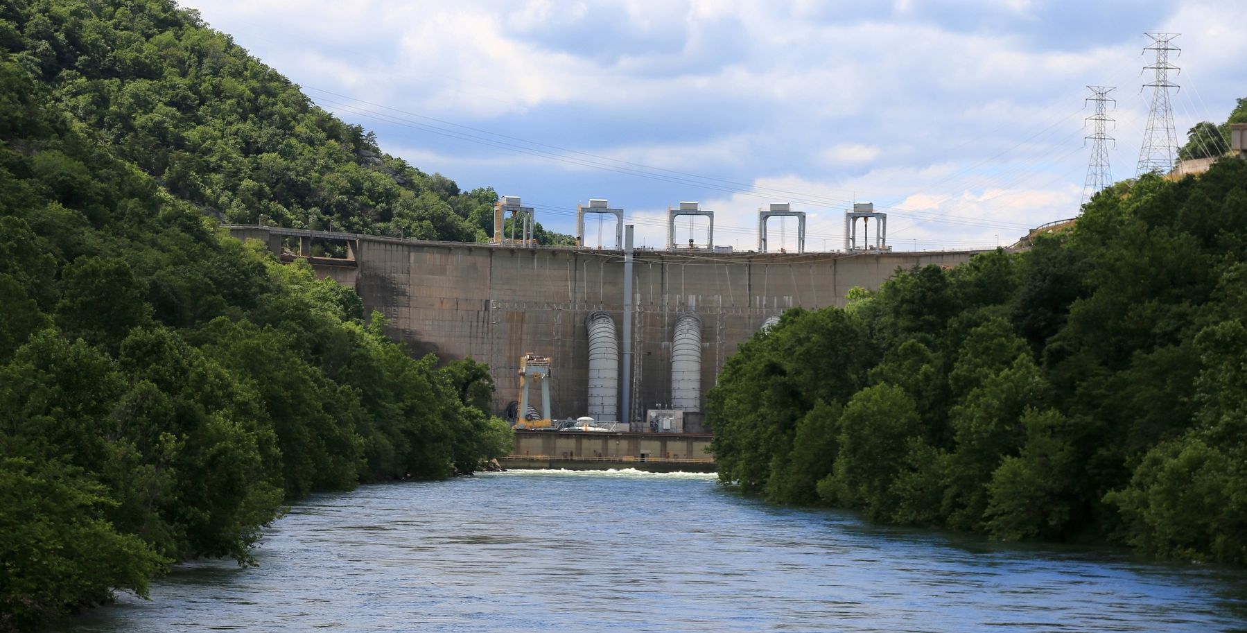
More about this marker. It is at the Smith Mountain Lake dam, in the picnic area overlooking the Roanoke River. There is no charge to park at or use the picnic area. Further on Ford Road past the picnic area there is an overlook of the lake.
Related markers. Click here for a list of markers that are related to this marker.
Also see . . . Smith Mountain Dam. “In the late 1920s, Appalachian Power began purchasing land and planning for a hydroelectricity dam within the Smith Mountain Gorge that is split by the Roanoke River. After several delays and the completion of engineering studies, construction began in 1960. Construction on the smaller Leesville Dam also began downstream at this time as well. Concrete pouring began in 1961 and in 1962, the re-construction of roads and bridges that would be affected by the reservoir was complete.” “On March 7, 1966, the reservoir was full. In 1979, a fifth hydro-electrical generator was installed, increasing the generation capacity to 560 megawatts (750,000 hp)” (Submitted on June 17, 2017.)
Credits. This page was last revised on January 9, 2020. It was originally submitted on June 17, 2017, by J. J. Prats of Powell, Ohio. This page has been viewed 302 times since then and 18 times this year. Photos: 1, 2, 3, 4. submitted on June 17, 2017, by J. J. Prats of Powell, Ohio.


