Fall and Rise of the Fleet
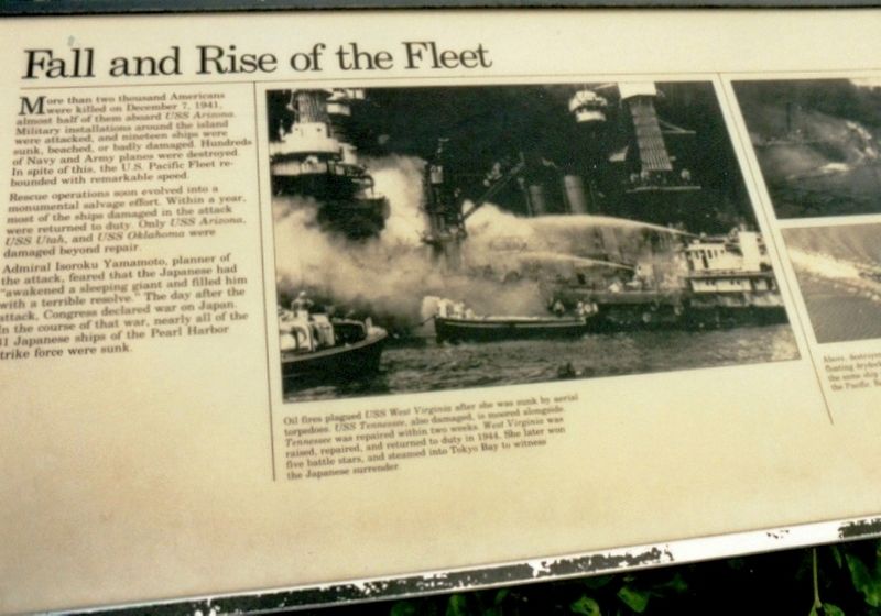
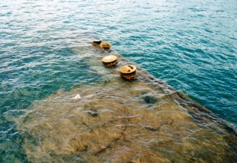
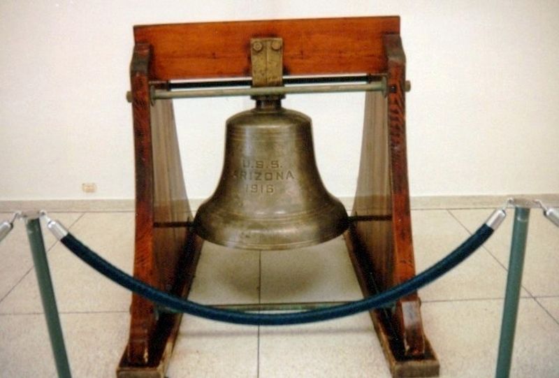
More than two thousand Americans were killed on December 7, 1941, almost half of them aboard USS Arizona. Military installations around the island were attacked and nineteen ships were sunk, beached, or badly damaged. Hundreds of Navy and Army planes were destroyed. In spite of this, the U.S. Pacific Fleet rebounded with remarkable speed.
Rescue operations soon evolved into a monumental salvage effort. Within a year, most of the ships damaged in the attack were returned to duty. Only USS Arizona, USS Utah, and USS Oklahoma were damaged beyond repair.
Admiral Isoroku Yamamoto, planner of the attack, feared that the Japanese had “awakened a sleeping giant and filled him with a terrible resolve.” The day after the attack, Congress declared war on Japan. In the course of that war, nearly all of the 31 Japanese ships of the Pearl Harbor strike force were sunk.
(Inscription under the image on the right)
Oil fires plagued USS West Virginia after she was sunk by aerial torpedoes. USS Tennessee, also damaged, is moored along side Tennessee was repaired within two weeks. West Virginia was raised, repaired, and returned to duty in 1944. She later won five battle stars, and steamed into Tokyo Bay to witness the Japanese surrender.
Erected by National Park Service,
Topics. This historical marker is listed in these topic lists: Disasters • War, World II • Waterways & Vessels. A significant historical date for this entry is December 7, 1941.
Location. 21° 22.039′ N, 157° 56.375′ W. Marker is in Honolulu, Hawaii, in Honolulu County. Marker is on Arizona Memorial Plaza. The marker is on the grounds of the ceremonial lawn of the USS Arizona Memorial. Touch for map. Marker is in this post office area: Honolulu HI 96818, United States of America. Touch for directions.
Other nearby markers. At least 8 other markers are within walking distance of this marker. Island of Oahu (within shouting distance of this marker); Bombers Over Battleship Row (within shouting distance of this marker); Sunday Morning (within shouting distance of this marker); Pearl Harbor Panorama-West (within shouting distance of this marker); Pearl Harbor Panorama-North (within shouting distance of this marker); USS Arizona Anchor (within shouting distance of this marker); The Lone Sailor (within shouting distance of this marker); United States Marine Corps (about 300 feet away, measured in a direct line). Touch for a list and map of all markers in Honolulu.
Credits. This page was last revised on June 12, 2020. It was originally submitted on June 28, 2017, by Don Morfe of Baltimore, Maryland. This page has been viewed 264 times since then and 25 times this year. Photos: 1, 2, 3, 4, 5, 6. submitted on June 28, 2017, by Don Morfe of Baltimore, Maryland. • Bill Pfingsten was the editor who published this page.
