Anchors Aweigh
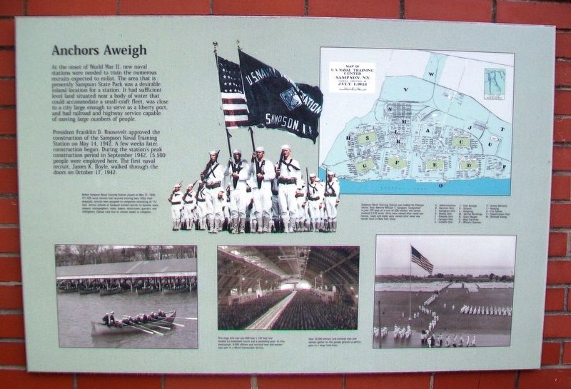
At the onset of World War II, new naval stations were needed to train the numerous recruits expected to enlist. The area that is presently Sampson State Park was a desirable inland location for the station. It had sufficient level land situated near a body of water that could accommodate a small-craft fleet, was close to a city large enough to serve as a liberty port, and had railroad and highway service capable of moving large numbers of people.
President Franklin D. Roosevelt approved the construction of the Sampson Naval Training Station on May 14, 1942. A few weeks later, construction began. During the station's peak construction period in September 1942, 15,500 people were employed here. The first naval recruit, James K. Boyle, walked through the doors on October 17, 1942.
[Photo captions, clockwise from top left, read]
• Before Sampson Naval Training Station closed on May 31, 1946, 411,429 naval recruits had received training here. After their physicals, recruits were assigned to companies consisting of 112 men. Service schools at Sampson trained recruits to become storekeepers, stenographers, cooks, bakers, electricians, gunners, and firefighters. Classes took four to sixteen weeks to complete.
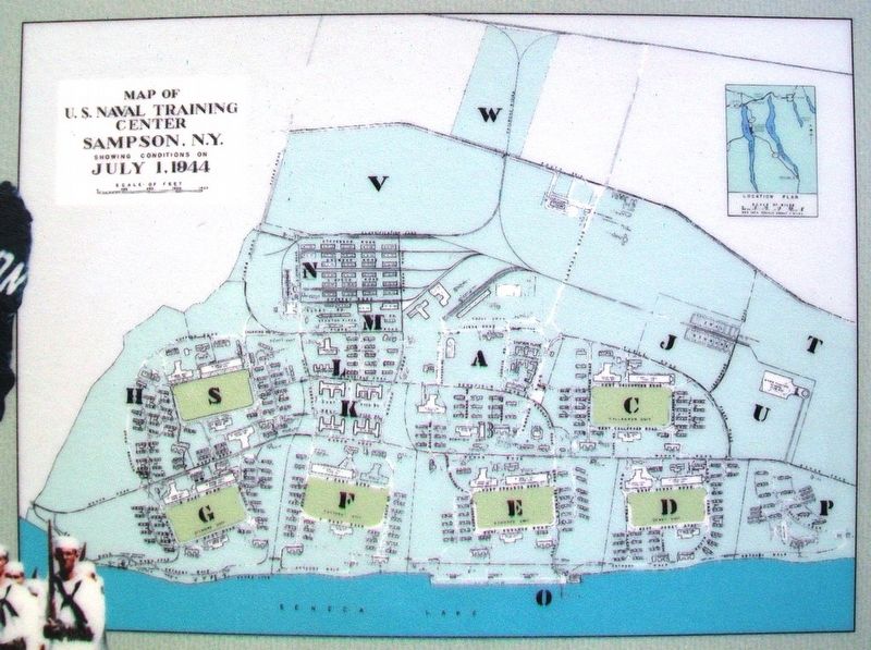
• Sampson Naval Training Station was named for Palmyra native, Rear Admiral William T. Sampson. Completed
in just 270 days at a cost of $56 million, the center covered 2,535 acres. Units were named after naval war heroes; roads and walks were named after naval war heroes born in New York State.
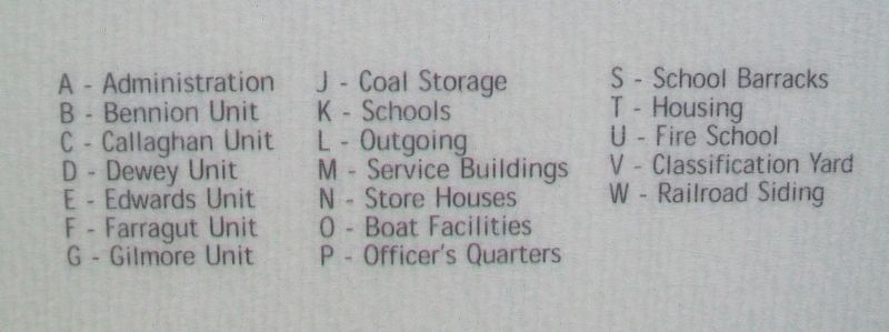
• Map of U.S. Naval Training Center, Sampson, N.Y.
July 1, 1944 [with key]
• Over 16,000 officers and enlisted men and women gather on the parade ground to participate in a large field mass.
• This large drill hall was 600 feet x 120 feet and housed six basketball courts and a swimming pool. In this photograph, 8,000 officers and enlisted men and women take part in a World Communion Service.
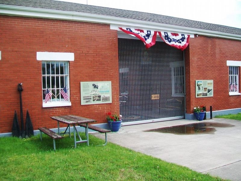
Erected by Sampson Memorial Museum.
Topics. This memorial is listed in these topic lists: Education • Man-Made Features • Patriots & Patriotism • War, World II. A significant historical date for this entry is May 14, 1942.
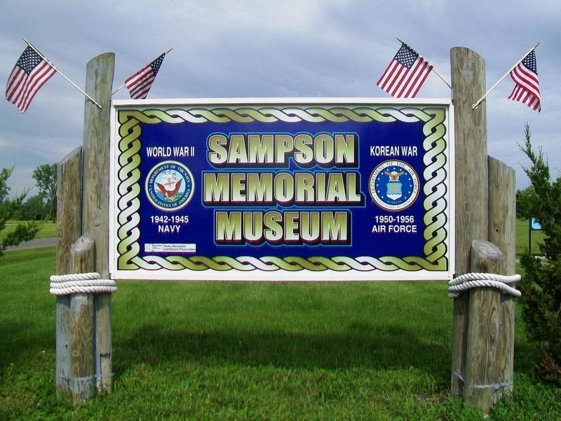
Location. 42° 43.708′ N, 76° 54.332′ W. Marker is near Romulus, New York, in Seneca County. Memorial is on the Sampson State Park Entrance Drive, on the left when traveling west. Marker is at the entrance to the Sampson Memorial Museum. Touch for map. Marker is at or near this postal address: Sampson State Park, 6096 NY Route 96A, Romulus NY 14541, United States of America. Touch for directions.
Other nearby markers. At least 8 other markers are within walking distance of this marker. Portal to Air Power (here, next to this marker); Jets Go To War (within shouting distance of this marker);
Also see . . . US Naval Training Station Sampson. (Submitted on June 30, 2017, by William Fischer, Jr. of Scranton, Pennsylvania.)
Credits. This page was last revised on June 30, 2017. It was originally submitted on June 30, 2017, by William Fischer, Jr. of Scranton, Pennsylvania. This page has been viewed 404 times since then and 33 times this year. Photos: 1, 2, 3, 4, 5, 6. submitted on June 30, 2017, by William Fischer, Jr. of Scranton, Pennsylvania.
