Greenville in Greenville County, South Carolina — The American South (South Atlantic)
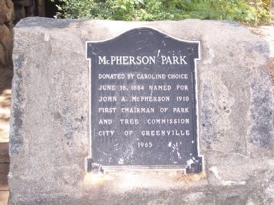
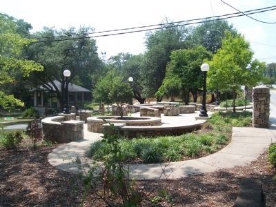
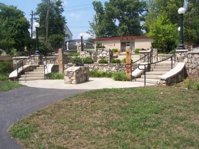
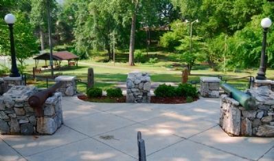
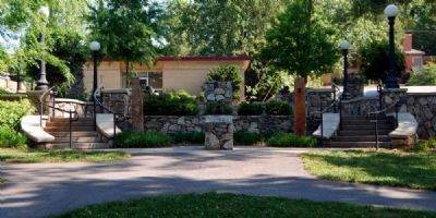
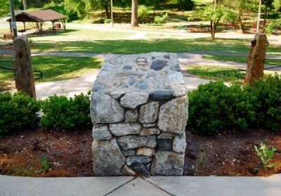
McPherson Park
June 18, 1884 Named for
John A. McPherson 1910
First Chairman of Park
and Tree Commission
City of Greenville
Erected 1965.
Topics. This historical marker is listed in these topic lists: Horticulture & Forestry • Parks & Recreational Areas. A significant historical month for this entry is June 1853.
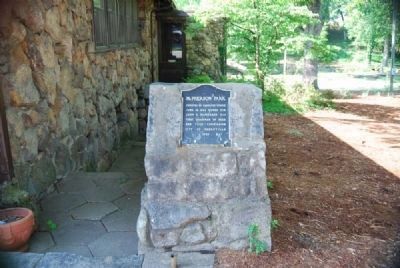
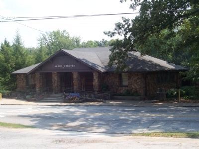
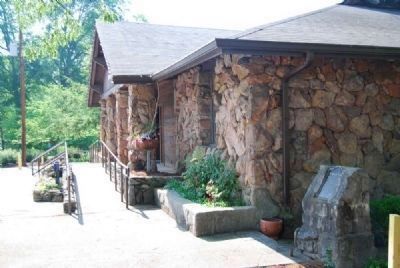
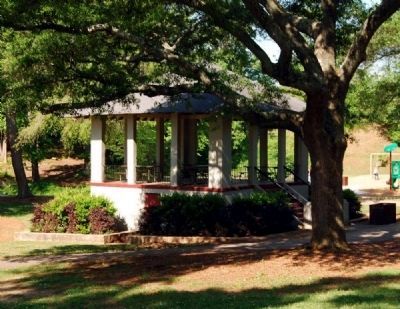
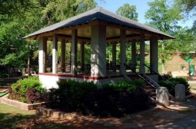
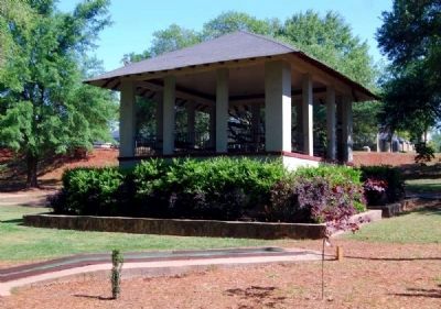
Location. 34° 51.478′ N, 82° 23.66′ W. Marker is in Greenville, South Carolina, in Greenville County. Marker is on E Park Ave., on the right when traveling east. Marker is located to the right of the Sears Shelter. Touch for map. Marker is at or near this postal address: 100 E Park Ave, Greenville SC 29601, United States of America. Touch for directions.
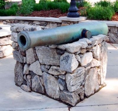
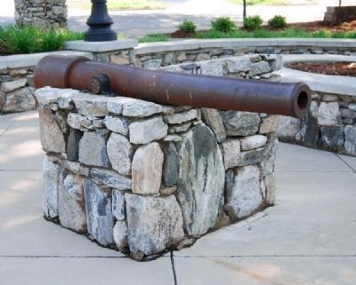
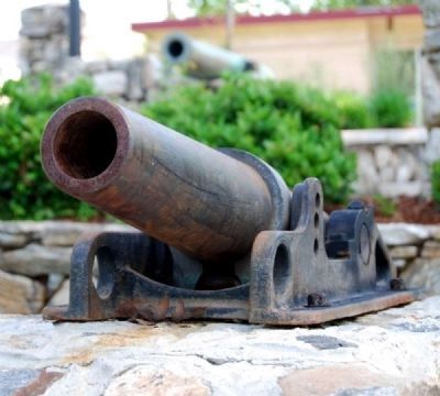
Other nearby markers. At least 10 other markers are within walking distance of this marker. 75 mm Field Gun / 3 inch M1903 (about 600 feet away, measured in a direct line); 90 mm M-2 Anti-Aircraft Gun (about 700 feet away); 6 inch Field Howitzer Model of 1908 (about 700 feet away); Post 3 American Legion (about 700 feet away); Kilgore-Lewis House (approx. 0.2 miles away); Kershaw Brigade (approx. ¼ mile away); In Memory of 81st Wildcat Division / Camp Sevier (approx. ¼ mile away); Eighty Unnamed Soldiers (approx. ¼ mile away); SC Ordinance of Secession (approx. ¼ mile away); Confederate Armory (approx. ¼ mile away). Touch for a list and map of all markers in Greenville.
Also see . . . East Park Historic District. The East Park Historic District is historically significant as an early twentieth century planned suburban community, offering a park-centered lifestyle a few short blocks from downtown Greenville. (Submitted on May 21, 2009, by Brian Scott of Anderson, South Carolina.)
Additional commentary.
1. The East Park Historic District
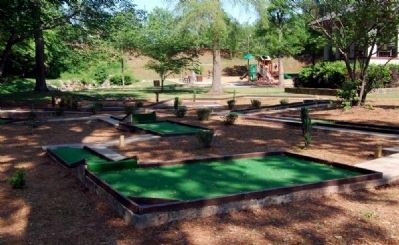
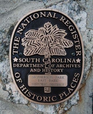
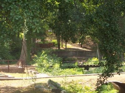
This district is listed on the National Register of Historic Places (2005). McPherson's Park, Greenville's oldest city park (and once known as City Park), acts as a buffer between the commercial downtown and the East Park District.
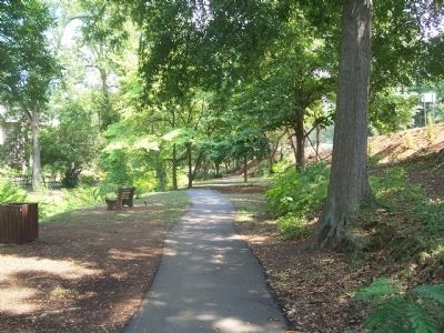
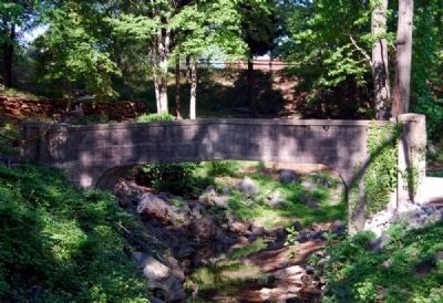
East Park is significant in landscape architecture as an example of an early twentieth century suburb. Retaining walls accentuated the hilly topography, trees provided shade and grassy lawns created a park-like setting. Continuing the Cleveland family's vision of a park community, Kelsey and Guild, noted landscape architects from Boston, Massachusetts, were hired by the Municipal League in 1907 to study plans for beautifying the city, including city parks. In May 1911 the Park and Tree Commission formerly adopted a donation by W.C. Cleveland of additional acreage to the "City Park."
Though Greenville experienced steady growth and progress in the first decades of the twentieth century, infrastructure improvements moved slowly. As prominent political leaders, businessmen and professionals moved into the city's suburbs, however -- most notably East Park -- discussions were renewed in 1912 concerning paving a road through the park and improving unpaved sidewalks along the streets in the neighborhood.
At the same time, the Park and Tree Commission initiated plans to beautify the park according to the 1907 plans of Kelsey and Guild. This included building a band pavilion to be used for band concerts twice weekly, dances and political speeches. The Greenville Daily News observed, "As few homes have large enough premises for children to indulge in such sports as they enjoy, addressing provision for the pleasure and welfare of the children is satisfied in plans for a playground for girls and ball ground for boys, along with cleaning out the stream to afford a splendid bathing place."
City Park served as a venue for political speeches, concerts, cultural events such as the traveling Chautauqua Series and rallies as early as 1890 and continued to do so well into the 1950s. It was also the site of training marches for soldiers from Camp Wetherill during the Spanish American War, Camp Sevier during World War I, and patriotic rallies during the Great Depression.
John A. McPherson, Chairman of
the Park and Tree Commission, hired Carter Newman, Jr. as a full-time park and playground director in 1938. With the assistance of the Works Progress Administration (or WPA, later the Works Projects Administration), City Park underwent major renovations between 1935 and 1941. In May 1941 the Greenville City Council recognized John A. McPherson's contributions to the beautification of the city and renamed City Park in his honor. Five months later McPherson Park's newest improvement was officially dedicated. With a $7500 donation from Sears, Roebuck and Company, WPA assistance, and a contribution from the city a new recreation center was constructed of stone and opened in October 1941.
The shelter became immediately popular for teenage square dances, club meetings and children's parties. During World War II the facility was made available to military personnel every night until the end of the war. (Source: National Register nomination form.)
— Submitted August 20, 2008, by Brian Scott of Anderson, South Carolina.
Credits. This page was last revised on December 13, 2019. It was originally submitted on August 19, 2008, by M. L. 'Mitch' Gambrell of Taylors, South Carolina. This page has been viewed 3,379 times since then and 68 times this year. Photos: 1. submitted on August 19, 2008, by M. L. 'Mitch' Gambrell of Taylors, South Carolina. 2. submitted on May 20, 2009, by Brian Scott of Anderson, South Carolina. 3. submitted on August 19, 2008, by M. L. 'Mitch' Gambrell of Taylors, South Carolina. 4. submitted on May 20, 2009, by Brian Scott of Anderson, South Carolina. 5, 6. submitted on August 19, 2008, by M. L. 'Mitch' Gambrell of Taylors, South Carolina. 7. submitted on May 20, 2009, by Brian Scott of Anderson, South Carolina. 8. submitted on June 3, 2010, by Brian Scott of Anderson, South Carolina. 9, 10, 11. submitted on May 20, 2009, by Brian Scott of Anderson, South Carolina. 12. submitted on May 21, 2009, by Brian Scott of Anderson, South Carolina. 13, 14, 15. submitted on June 3, 2010, by Brian Scott of Anderson, South Carolina. 16. submitted on August 19, 2008, by M. L. 'Mitch' Gambrell of Taylors, South Carolina. 17, 18, 19, 20. submitted on June 3, 2010, by Brian Scott of Anderson, South Carolina. 21, 22. submitted on August 19, 2008, by M. L. 'Mitch' Gambrell of Taylors, South Carolina. • Kevin W. was the editor who published this page.
