Pluckemin in Somerset County, New Jersey — The American Northeast (Mid-Atlantic)
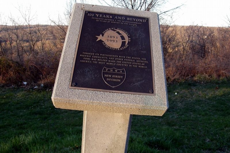
General Highway Administration 1893-1993
General Highway Administration 1893-1993
Dedicated October 3, 1993 to commemorate 100 years of service to the nation.
Through its partnerships with the states, the highway community, and other Federal agencies, FHWA has helped make the United States of America the most mobile country in the world.
FHWA New Jersey Division
Erected by FHWA New Jersey Division.
Topics. This historical marker is listed in this topic list: Roads & Vehicles. A significant historical date for this entry is October 3, 1993.
Location. 40° 38.633′ N, 74° 37.133′ W. Marker is in Pluckemin, New Jersey, in Somerset County. Marker can be reached from Interstate 78. Touch for map. Marker is in this post office area: Pluckemin NJ 07978, United States of America. Touch for directions.
Other nearby markers. At least 8 other markers are within 2 miles of this marker, measured as the crow flies. Washington’s Route from Princeton to Morristown (approx. 1.1 miles away); a different marker also named Washington’s Route from Princeton to Morristown (approx. 1.1 miles away); Artillery Park (approx. 1.2 miles away); Pluckemin School House (approx. 1.3 miles away); Purvis James Boatwright Jr. (approx. 1.6 miles away); A Place To Remember (approx. 2 miles away); Moggy Hollow (approx. 2 miles away); The Jacobus Vanderveer House (approx. 2.1 miles away). Touch for a list and map of all markers in Pluckemin.
More about this marker. The marker is in a scenic overlook along I-78 W near Mile 32.4.
Credits. This page was last revised on April 14, 2020. It was originally submitted on July 6, 2017, by Larry Gertner of New York, New York. This page has been viewed 186 times since then and 13 times this year. Last updated on April 14, 2020, by Larry Gertner of New York, New York. Photo 1. submitted on July 6, 2017, by Larry Gertner of New York, New York. • Bill Pfingsten was the editor who published this page.
