Near Emigrant Gap in Placer County, California — The American West (Pacific Coastal)
Lincoln Highway
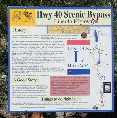
Hwy 40 Scenic Bypass
"An uplifting of the soul is sure to follow this contact with Nature in her majesty, and Self becomes smaller and smaller as we realize the immensity of things in traversing this country." -- 1924 Complete Official Road Guide of the Lincoln Highway
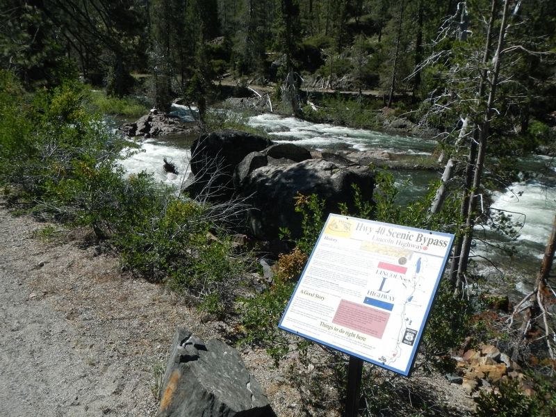
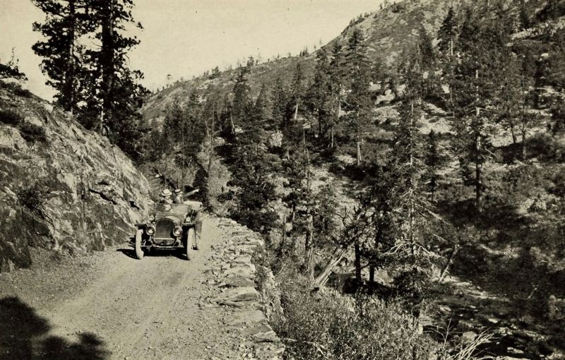
The Lincoln Highway, which strung together existing routes, in 1913 was the nation's first memorial to President Lincoln and was the first transcontinental highway. It was a time when there only (was) only about 150 cross country trips by automobile annually. The Lincoln Highway Association had a vision: "a continuous highway from the Atlantic to the Pacific, open to ... all ...without toll charges." The road cut across the river here is a remaining section of the original 1913 Lincoln Highway.
The new Lincoln Highway standards called for a design "predicated upon an average of 15,000 passenger automobiles per ... day traveling at a speed of 35 miles per hour and 5,000 motor trucks ... traveling at an average of 10 miles per hour.
The Official Lincoln Highway guide said: "The usual pleasure party, however, with easy driving and only nominal amount of sight-seeing ... can make the trip (cross country) in twenty to thirty days with ease (down from 60 before the highway). driving approximately seven hours per day. This estimate means that approximately 18 miles per hour must be made during the driving time as an average."
Do not carry loaded firearms, do not to forget colored goggles or camphor ice, do not ford water without first wading through it, do not to drink alkali water, and "Don't wear new shoes." Traveling equipment needed included chains, shovel, axe, jacks, tires and inner tubes, and a set of tools.
If real trouble occurs "build a sagebrush fire" to summon help.
The whoosh of the Interstate can now be heard here. It was tough going crossing the country even with the Lincoln Highway. In 1919 the first transcontinental Army convoy averaged 53 miles per day along the Lincoln Highway route. Dwight Eisenhower was a young officer on the trip and is was the memory of that trip that spurred his to build the interstate highway system when he became president.
You can walk the old Lincoln highway route you see across the river. It's the dirt road to the right at Big Bend. Walk beside old cabins and enjoy the river and look for old bridge foundations. Can you find dates on any existing bridges or old abutments.?
A gray ribbon of dust runs westward to the land of the setting sun,
And many's the great adventure that this winding ribbon has spun.
The pony express once followed it and the seekers of gold,
And earlier still the Indians and the buffalo of old.
Passes by many a mansion, by many a simple hut,
Through peaceful valleys and barren plains.
A ribbon of dust? Yes! but,
To me it's a wonderful Highway, straight and smooth and fair,
For it carries me out to do homage to the God of the Open Air.
Erected by Donner Summit Historical Societyd. (Marker Number 4.)
Topics and series. This historical marker is listed in this topic list: Roads & Vehicles. In addition, it is included in the Donner Summit Historical Society, and the Lincoln Highway series lists. A significant historical year for this entry is 1924.
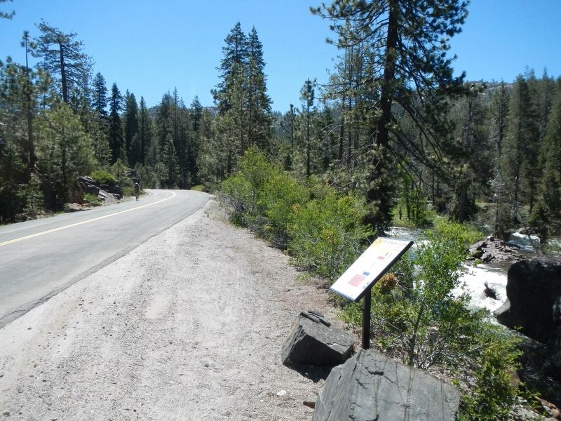
Location. 39° 18.258′ N, 120° 31.47′ W. Marker is near Emigrant Gap, California, in Placer County. Marker is on Hampshire Rocks Road, on the left when traveling east. Touch for map. Marker is at or near this postal address: 49495 Hampshire Rock Road, Emigrant Gap CA 95715, United States of America. Touch for directions.
Other nearby markers. At least 8 other markers are within 3 miles of this marker, measured as the crow flies. Overland Emigrant Trail (approx. 0.4 miles away); Stephens-Townsend-Murphy Party (approx. 0.4 miles away); Big Bend (approx. 0.4 miles away); a different marker also named The Lincoln Highway (approx. half a mile away); Rainbow Lodge (approx. 0.9 miles away); Forest Gift Shop, Cisco Grove (approx. 1.1 miles away); Susan's Spot (approx. 1.1 miles away); Truckee Trail - Ascent to Lake and Valley (approx. 2.4 miles away). Touch for a list and map of all markers in Emigrant Gap.
Also see . . . Lincoln Highway -- Donner Summit Historical Society. Today highways are built from scratch but that first national highway was put together in 1913 from already existing stretches of roadway to create a route from coast to coast. It produced the first national standards for highways. It was a completely private endeavor using no public money. The money for the project was raised through subscription with the campaign aimed at the public’s patriotism. (Submitted on July 7, 2017, by Barry Swackhamer of Brentwood, California.)
Credits. This page was last revised on July 7, 2017. It was originally submitted on July 7, 2017, by Barry Swackhamer of Brentwood, California. This page has been viewed 333 times since then and 20 times this year. Photos: 1, 2, 3, 4. submitted on July 7, 2017, by Barry Swackhamer of Brentwood, California.


