Crab Orchard in Lincoln County, Kentucky — The American South (East South Central)
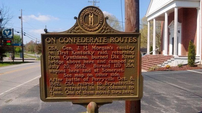
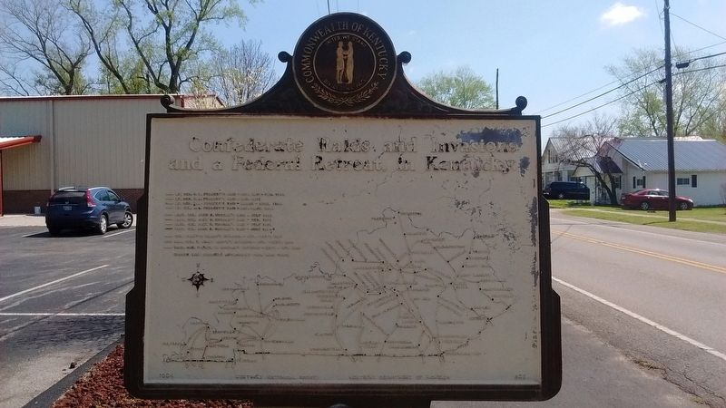
On Confederate Routes
Erected 1964 by Kentucky Historical Society and Kentucky Department of Highways. (Marker Number 685.)
Topics and series. This historical marker is listed in this topic list: War, US Civil. In addition, it is included in the Kentucky Historical Society series list. A significant historical date for this entry is July 20, 1862.
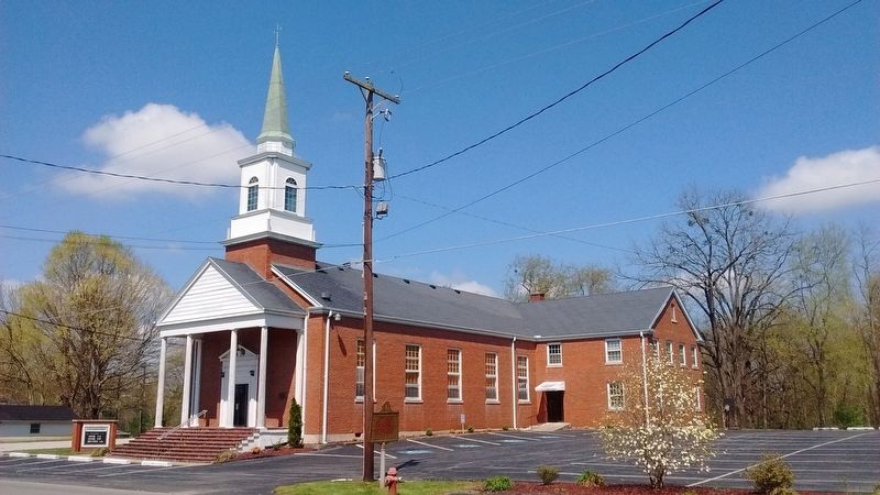
Location. 37° 27.754′ N, 84° 30.61′ W. Marker is in Crab Orchard, Kentucky, in Lincoln County. Marker is on Stanford Street (Kentucky Route 2750) east of Walnut Street, on the right when traveling west. Located in front of Crab Orchard Christian Church. Touch for map. Marker is in this post office area: Crab Orchard KY 40419, United States of America. Touch for directions.
Other nearby markers. At least 8 other markers are within 2 miles of this marker, measured as the crow flies. Grand Gateway to Kentucky (approx. ¼ mile away); Crab Orchard Cemetery Confederate Memorial (approx. half a mile away); Crab Orchard Springs (approx. half a mile away); A View from Sportsman’s Hill (approx. 2 miles away); Sportsman's Hill (approx. 2 miles away); Where Racing Turned Around (approx. 2 miles away); The Legacy of Sportsman’s Hill at Crab Orchard (approx. 2 miles away); A Little Bit to Eat at the Race (approx. 2.1 miles away). Touch for a list and map of all markers in Crab Orchard.
Credits. This page was last revised on July 10, 2017. It was originally submitted on July 9, 2017, by Tom Bosse of Jefferson City, Tennessee. This page has been viewed 207 times since then and 26 times this year. Photos: 1, 2, 3, 4. submitted on July 9, 2017, by Tom Bosse of Jefferson City, Tennessee. • Bernard Fisher was the editor who published this page.


