Near Mansfield in De Soto Parish, Louisiana — The American South (West South Central)
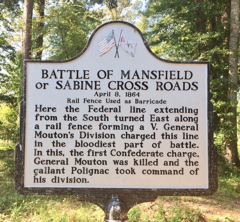
Battle of Mansfield or Sabine Cross Roads
April 8. 1864
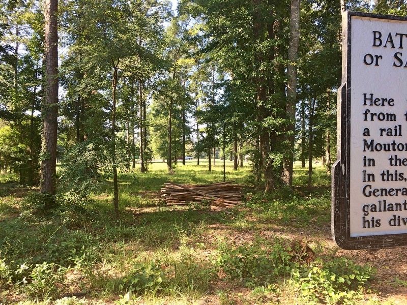
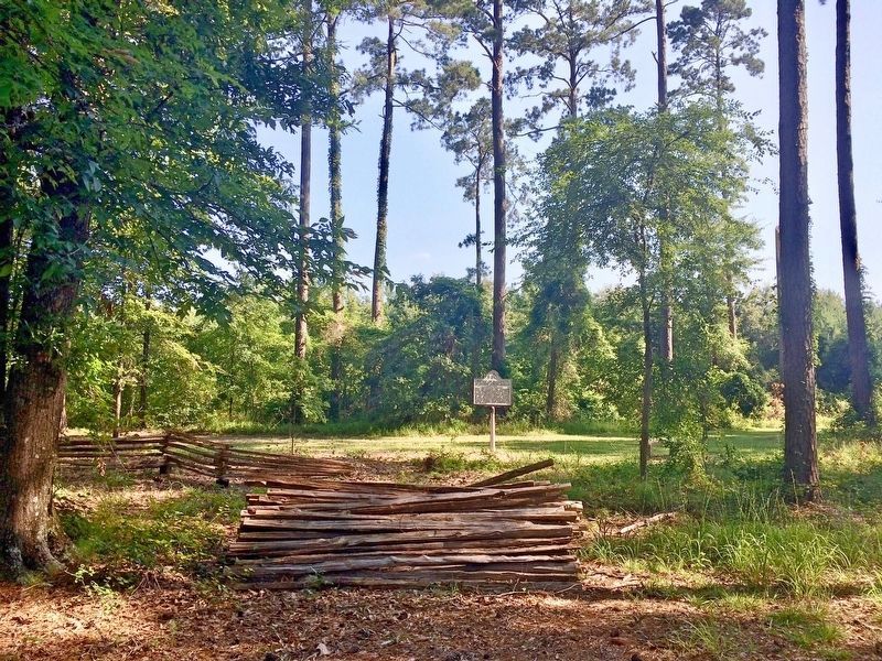
— Rail Fence Used as Barricade —
Erected by the State of Louisiana.
Topics. This historical marker is listed in this topic list: War, US Civil.
Location. 32° 0.769′ N, 93° 39.98′ W. Marker is near Mansfield, Louisiana, in De Soto Parish. Marker can be reached from Parish Road 48, 0.1 miles east of State Route 175 when traveling north. Located along a trail in the woods of the Mansfield State Historic Site. Touch for map. Marker is at or near this postal address: 15149 LA-175, Mansfield LA 71052, United States of America. Touch for directions.
Other nearby markers. At least 8 other markers are within walking distance of this marker. General Alfred Mouton Monument (about 700 feet away, measured in a direct line); Battle of Mansfield or Sabine Cross Roads (about 700 feet away); Mansfield Battle Park (about 700 feet away); General Dick Taylor Monument (about 700 feet away); James H. Beard Monument (about 700 feet away); Captain Seth Roberts Field Monument (about 800 feet away); a different marker also named Battle of Mansfield or Sabine Cross Roads (about 800 feet away); Texas Monument (approx. 0.2 miles away). Touch for a list and map of all markers in Mansfield.
Also see . . .
1. Wikipedia article on the Battle of Mansfield. (Submitted on July 10, 2017, by Mark Hilton of Montgomery, Alabama.)
2. Wikipedia article on General Mouton. (Submitted on July 10, 2017, by Mark Hilton of Montgomery, Alabama.)
Public domain
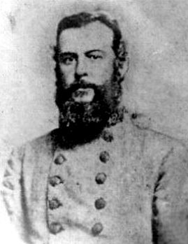
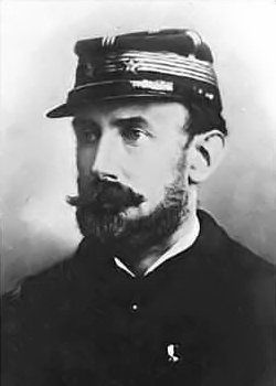
5. General Camille Armand Jules Marie, Prince de Polignac
Geneal Polignac, a French nobleman, is best known for his leadership in the first major action of the Red River Campaign. Polignac received a battlefield promotion at Mansfield to division command after the death of General Alfred Mouton and then proceeded to fight again at the Pleasant Hill, further south in De Soto Parish.
Credits. This page was last revised on July 12, 2017. It was originally submitted on July 10, 2017, by Mark Hilton of Montgomery, Alabama. This page has been viewed 509 times since then and 34 times this year. Photos: 1, 2, 3, 4. submitted on July 10, 2017, by Mark Hilton of Montgomery, Alabama. 5. submitted on July 11, 2017, by Mark Hilton of Montgomery, Alabama.
