Natchitoches in Natchitoches Parish, Louisiana — The American South (West South Central)
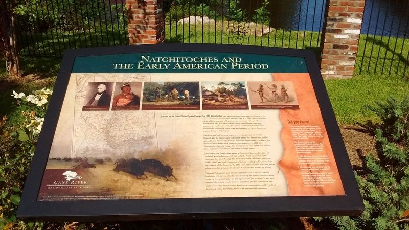
Natchitoches and the Early American Period
Natchitoches had been an important trading center under the Spanish and its importance continued under the Americans. In 1807 alone, Native Americans from 24 different tribes came to trade at the factory and / or meet with the government agent. In 1808 the Natchitoches factory shipped to New Orleans over 32,000 lbs. of deer skins that it obtained from the tribes through trade.
John Sibley, the first agent at Natchitoches, worked hard to establish good relations with not only the Native Americans in Louisiana but also through his friendship with Dehahuit, the great Caddo Chief, and with an number of tribes residing in Texas much the chagrin of the Spanish. In 1807 over 320 members from ten Texas tribes attended a Grand Council at Natchitoches hosted by Sibley.
Through Dehahuit’s and Sibley’s efforts most of the Texas and Louisiana tribes remained neutral during the armed confrontation between the Americans and the Spanish on the frontier. In the end, most of the tribes would cede or sell their land in Louisiana and move west. But small native American communities still reside in Louisiana today including several in northwest Louisiana.
(sidebar)
Did you Know?
• The present-day City of Natchitoches was named for Natchitoches, a tribe of the Caddo Federation. Today “Natchitoches” is generally translated as the “Place of the Paw Paw” or the “Paw Paw People” by scholars and the Caddo Nation alike.
• The Natchitoches were the southernmost Caddoan peoples. The Caddo homeland comprised the Red River Valley of east Texas, northern Louisiana, southern Arkansas and eastern Oklahoma.
• In 1804, American Indians traded deer hides totaling 32,000 lbs (equivalent to 4,000 deer hides or 152 muskets) to the American factory at Natchitoches.
• That Lacrosse was modified from the American Indian game of stickball?
• The Cane River Lake used to be part of the main channel of the Red River? When the great log jam was finally removed in the late 1800s the Red river shifted course and left Natchitoches next to an ox-box lake.
Topics. This historical marker is listed in these topic lists: Native Americans • Patriots & Patriotism • Settlements & Settlers. A significant historical year for this entry is 1804.
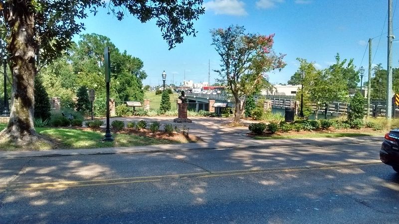
Location. 31° 45.263′ N, 93° 5.226′ W. Marker is in Natchitoches, Louisiana, in Natchitoches Parish. Marker is at the intersection of Jefferson Street (State Highway 6) and Keyser Avenue (State Highway 494), on the right when traveling north on Jefferson Street. Touch for map. Marker is in this post office area: Natchitoches LA 71457, United States of America. Touch for directions.
Other nearby markers. At least 8 other markers are within walking distance of this marker. Dr. John Sibley (here, next to this marker); El Camino Real de los Tejas (a few steps from this marker); Bayou Amulet (approx. 0.2 miles away); The Jefferson Highway (approx. 0.2 miles away); The American Cemetery (approx. ¼ mile away); Fort Saint Jean Baptiste (approx. ¼ mile away); a different marker also named The American Cemetery (approx. ¼ mile away); Fort St. Jean Baptiste (approx. ¼ mile away). Touch for a list and map of all markers in Natchitoches.
Also see . . . Caddo Indian Chief Dehahuit. (Submitted on July 26, 2017, by Tom Bosse of Jefferson City, Tennessee.)
Credits. This page was last revised on July 27, 2017. It was originally submitted on July 26, 2017, by Tom Bosse of Jefferson City, Tennessee. This page has been viewed 515 times since then and 54 times this year. Photos: 1, 2. submitted on July 26, 2017, by Tom Bosse of Jefferson City, Tennessee. • Bernard Fisher was the editor who published this page.

