Thunder Bay in Thunder Bay District, Ontario — Central Canada (North America)
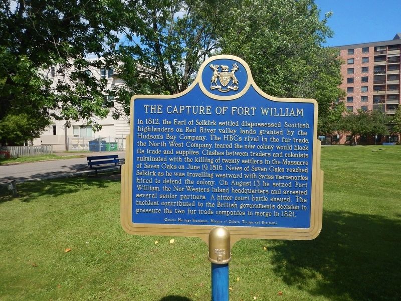
The Capture of Fort William
In 1812, the Earl of Selkirk settled dispossessed Scottish highlanders on Red River valley lands granted by the Hudson's Bay Company. The HBC's rival in the fur trade, the North West Company, feared the new colony would block its trade and supplies. Clashes between traders and colonists culminated with the killing of twenty settlers in the Massacre of Seven Oaks on June 19, 1816. News of Seven Oaks reached Selkirk as he was travelling westward with Swiss mercenaries hired to defend the colony. On August 13, he seized Fort William, the Nor'Westers' inland headquarters, and arrested several senior partners. A bitter court battle ensued. The incident contributed to the British government's decision to pressure the two fur trade companies to merge in 1821.
Erected by Ontario Heritage Foundation.
Topics. This historical marker is listed in these topic lists: Industry & Commerce • Notable Events • Settlements & Settlers. A significant historical date for this entry is June 19, 1816.
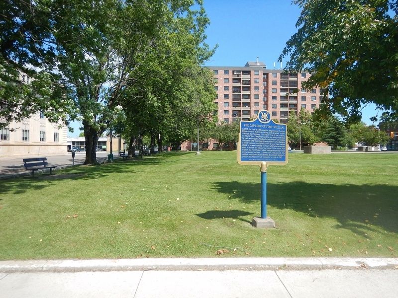
Location. 48° 23.165′ N, 89° 14.785′ W. Marker is in Thunder Bay, Ontario, in Thunder Bay District. Marker is at the intersection of Leith Street and Brodie Street North, on the right when traveling west on Leith Street. Marker is located in NW corner of a small park. Touch for map. Marker is in this post office area: Thunder Bay ON P7C 3P4, Canada. Touch for directions.
Other nearby markers. At least 8 other markers are within walking distance of this marker. 425 Donald Street East (approx. 0.4 kilometers away); Fort Kaministiquia 1717 (approx. 0.4 kilometers away); William McGillivray (approx. 0.4 kilometers away); City Hall (approx. half a kilometer away); 10-Mile Road Race (approx. half a kilometer away); Thunder Bay Public Library (approx. half a kilometer away); The Western Route of the C.P.R. (approx. 0.8 kilometers away); Fort William (approx. 1.2 kilometers away). Touch for a list and map of all markers in Thunder Bay.
Credits. This page was last revised on August 9, 2017. It was originally submitted on August 9, 2017, by Kevin Craft of Bedford, Quebec. This page has been viewed 235 times since then and 10 times this year. Photos: 1, 2. submitted on August 9, 2017, by Kevin Craft of Bedford, Quebec.

