Near Soda Springs in Caribou County, Idaho — The American West (Mountains)
Sheep Rock Geology

Photographed By Barry Swackhamer, June 22, 2017
1. Sheep Rock Geology Marker
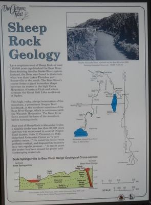
Captions: ( top right) Nearby Alexander Dam was built on the Bear River in 1923, forming Alexander Reservoir.; (center right) Map of the Bear River area. (bottom left) Soda Springs Hills to Bear River Range Geological Cross-section.
This high, rocky, abrupt termination of the mountain, a prominent Oregon Trail landmark, is the northern terminus of the Bear River Range, which is continuous with the Wasatch Mountains. The Bear River flows around the base of the mountains before turning south.
Just west of Sheep Rock is Alexander Crater, a basaltic cinder cone less than 20,000 years old that was mentioned in several Oregon Trail diaries. John C. Fremont, in 1843, described Alexander Crater as "a very perfectly vertical, and disposed like masonry in a very regular manner..." In recent years the crater has been mined for gravel and landscaping materials.
Erected by Idaho Department of Transportation.
Topics and series. This historical marker is listed in this topic list: Natural Features. In addition, it is included in the Oregon Trail series list.
Location. 42° 38.861′ N, 111° 42.111′ W. Marker is near Soda Springs, Idaho, in Caribou County. Marker is on Soda Point Power Plant Road near Reservoir Road, on the right when traveling south. Touch for map. Marker is at or near this postal address: 1599 Soda Point Power Plant Road, Soda Springs ID 83276, United States of America. Touch for directions.
Other nearby markers. At least 8 other markers are within walking distance of this marker. Trails, Rails and Highways (here, next to this marker); Fort Hall (here, next to this marker); Idaho's Emigrant Trails (here, next to this marker); Hudspeth Cutoff (here, next to this marker); The Value Of A Shortcut (a few steps from this marker); Guiding Landmark... (a few steps from this marker); Horatio's Journey (a few steps from this marker); William Henry Harrison (a few steps from this marker). Touch for a list and map of all markers in Soda Springs.
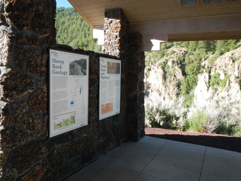
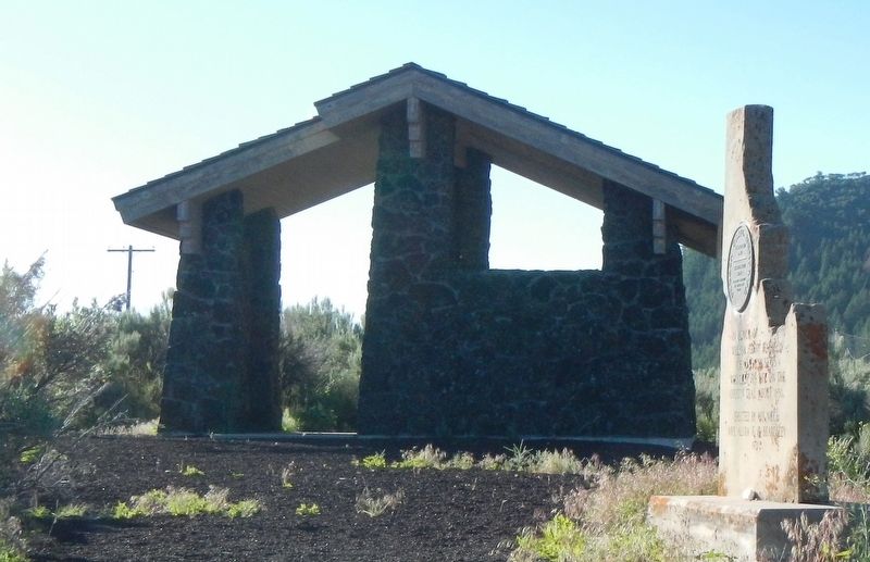
More about this marker. There are five markers inside this kiosk located on the Oregon Trail near Sheep Rock (Soda Point).
Credits. This page was last revised on August 11, 2017. It was originally submitted on August 11, 2017, by Barry Swackhamer of Brentwood, California. This page has been viewed 433 times since then and 20 times this year. Photos: 1, 2, 3. submitted on August 11, 2017, by Barry Swackhamer of Brentwood, California.

