Silver Vein
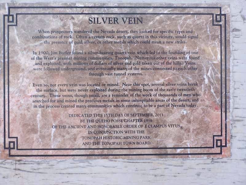
In 1900, Jim Butler found a silver-bearing quartz vein which led to the founding of one of the What's premier mining communities, Tonopah. Numerous other veins were found and exploited, with millions of dollars of silver and gold taken out of the hills. Veins were followed underground, and eventually many of the mines were connected to each other through vast tunnel systems.
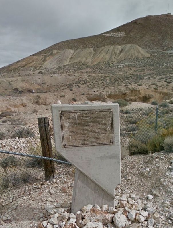
Even so, not every vein was located or mined. Near this spot, several silver veins break the surface, but were never exploited during the mining boom of the early twentieth century. These veins, though small, are a reminder of the work of thousands of men who searched for and mined the precious metals in some inhospitable areas of the desert, and in the process created many communities which continue to be a part of Nevada today.
Dedicated this 15th day of September, 2013
By the Queho Posse Chapter 1919 of the Ancient and Honorable Order of E Clampus Vitus In Conjunction with the Tonopah Historic Mining Park and the Tonopah Town Board
Erected 2013 by Queho
Topics and series. This historical marker is listed in these topic lists: Environment • Industry & Commerce • Settlements & Settlers. In addition, it is included in the E Clampus Vitus series list.
Location. 38° 4.192′ N, 117° 13.603′ W. Marker is in Tonopah, Nevada, in Nye County. Marker can be reached from Mizpah Circle. Touch for map. Marker is at or near this postal address: 510 Mizpah Cir, Tonopah NV 89049, United States of America. Touch for directions.
Other nearby markers. At least 8 other markers are within walking distance of this marker. Glory Hole (a few steps from this marker); Mine To Market (within shouting distance of this marker); The Tonopah Mining Boom (within shouting distance of this marker); Haul Out The Riches (about 300 feet away, measured in a direct line); Belle's Mine (about 300 feet away); A Miner's Life (about 300 feet away); Silver Top Mine (about 300 feet away); Up From The Depths (about 400 feet away). Touch for a list and map of all markers in Tonopah.
Credits. This page was last revised on August 18, 2017. It was originally submitted on August 17, 2017, by Frank Gunshow Sanchez of Hollister, California. This page has been viewed 218 times since then and 13 times this year. Photos: 1, 2. submitted on August 17, 2017. • Bill Pfingsten was the editor who published this page.

