Near Guyton in Effingham County, Georgia — The American South (South Atlantic)
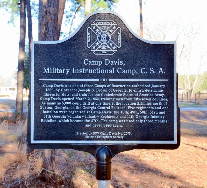
Camp Davis, Military Instructional Camp, C.S.A.
Inscription.
Camp Davis was one of three Camps of Instruction authorized January 1862, by Governor Joseph B. Brown of Georgia, to enlist, determine fitness for duty, and train for the Confederate States of America Army. Camp Davis opened March 2, 1862, training men from fifty-seven counties. As many as 5,000 could drill at one time at the location 2.5 miles north of Guyton, Georgia, on the Georgia Central Railroad. Five regiments and one battalion were organized at Camp Davis: the 48th, 49th, 50th, 51st, and 54th Georgia Voluntary Infantry Regiments and 11th Georgia Infantry Battalion, which became the 47th. The camp was used only three months and never used again.
Erected by SCV Camp Davis No. 2073, Historic Effingham Society.
Topics. This historical marker is listed in this topic list: War, US Civil. A significant historical month for this entry is January 1862.
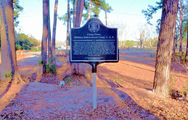
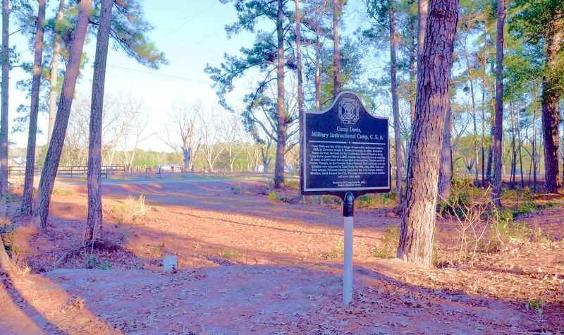
Location. 32° 21.867′ N, 81° 24.817′ W. Marker is near Guyton, Georgia, in Effingham County. Marker can be reached from the intersection of Central Boulevard (Georgia Route 17) and Wakefield Drive. The marker is located about 100 yards west of Central Boulevard (Georgia Highway 17) on an unpaved, unnamed road opposite Wakefield Drive. Although the road appears private there seems to be no difficulty in accessing the marker. Touch for map. Marker is at or near this postal address: 1683 Central Boulevard, Guyton GA 31312, United States of America. Touch for directions.
Other nearby markers. At least 8 other markers are within 7 miles of this marker, measured as the crow flies. Pilgrim Missionary Baptist Normal and Industrial Institute (approx. 1.7 miles away); Guyton Confederate General Hospital (approx. 2.6 miles away); Springfield Central High School (approx. 5.1 miles away); Effingham County (approx. 5.8 miles away); Effingham County Veterans Memorial (approx. 5.8 miles away); Confederate Memorial (approx. 5.9 miles away); Sherman's Left Wing (approx. 6.1 miles away); Old River Road (approx. 6.4 miles away). Touch for a list and map of all markers in Guyton.
Credits. This page was last revised on August 18, 2017. It was originally submitted on August 18, 2017, by David Seibert of Sandy Springs, Georgia. This page has been viewed 612 times since then and 68 times this year. Photos: 1, 2, 3. submitted on August 18, 2017, by David Seibert of Sandy Springs, Georgia.


