Near Toomsboro in Wilkinson County, Georgia — The American South (South Atlantic)
Ball's Ferry
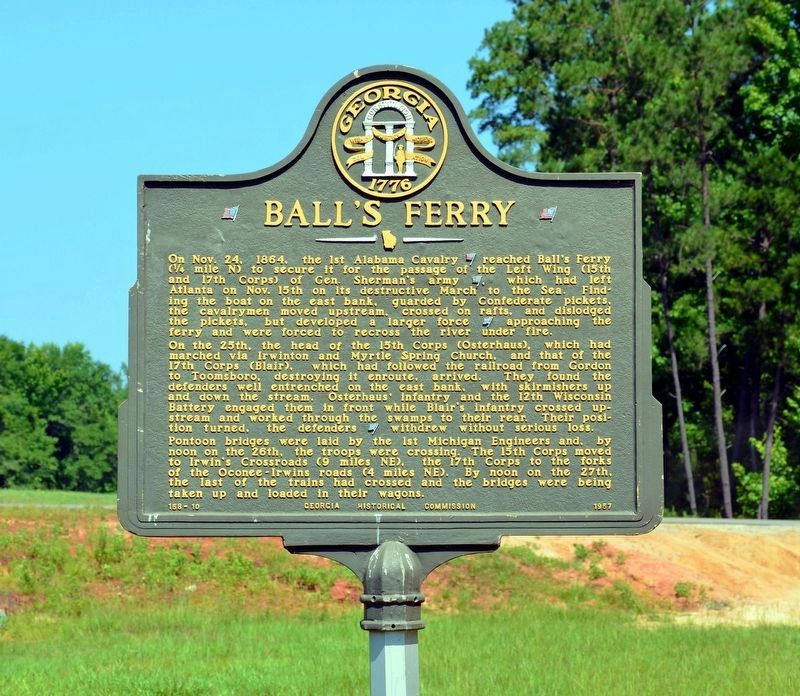
On the 25th, the head of the 15th Corps (Osterhaus), which had marched via Irwinton and Myrtle Spring Church, and that of the 17th Corps (Blair), which had followed the railroad from Gordon to Toomsboro, destroying it enroute, arrived. They found the defenders well entrenched on the east bank, with skirmishers up and down the stream. Osterhaus’ infantry and the 12th Wisconsin Battery engaged them in front while Blair’s infantry crossed upstream and worked through the swamps to their rear. Their position turned, the defenders [Confederate] withdrew without serious loss.
Pontoon bridges were laid by the 1st Michigan Engineers and, by noon on the 26th, the troops were crossing. The 15th Corps moved to Irwin’s Crossroads (9 miles NE), the 17th Corps to the forks of the Oconee-Irwins roads (4 miles NE). By noon on the 27th, the last of the trains had crossed and the bridges were being taken up and loaded in their wagons.
Erected 1957 by Georgia Historical Commission. (Marker Number 158-10.)
Topics. This historical marker is listed in this topic list: War, US Civil. A significant historical month for this entry is November 1864.
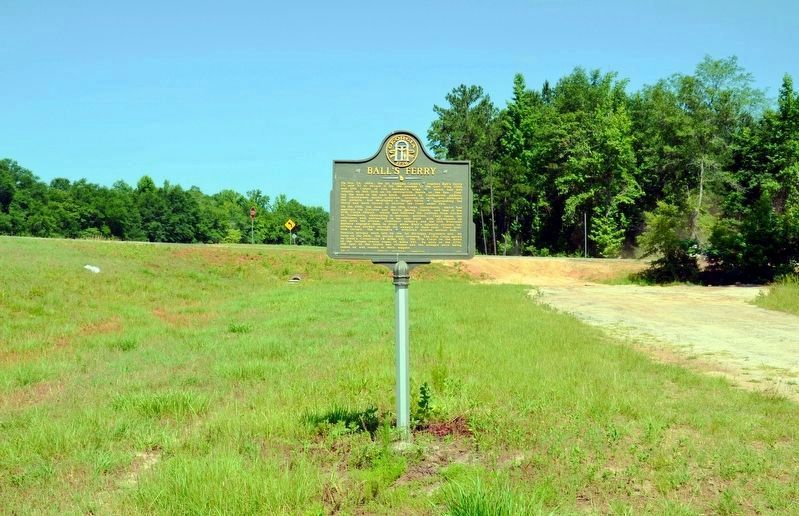
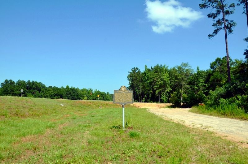
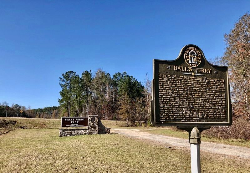
Location. 32° 46.969′ N, 82° 57.869′ W. Marker is near Toomsboro, Georgia, in Wilkinson County. Marker is at the intersection of Irwinton Road (Georgia Route 57) and Old Balls Ferry Road, on the right when traveling west on Irwinton Road. Touch for map. Marker is in this post office area: Toomsboro GA 31090, United States of America. Touch for directions.
Other nearby markers. At least 8 other markers are within 8 miles of this marker, measured as the crow flies. The Defense of Ball's Ferry (approx. 0.3 miles away); a different marker also named Ball's Ferry (approx. 0.3 miles away); a different marker also named Ball's Ferry (approx. 1.1 miles away); Jefferson Davis (approx. 2.2 miles away); Sherman's Right Wing (approx. 3.4 miles away); The Defense of the Oconee Bridge (approx. 5.1 miles away); Toomsboro (approx. 7.2 miles away); Robert Toombs (approx. 7.3 miles away). Touch for a list and map of all markers in Toomsboro.
Credits. This page was last revised on December 9, 2018. It was originally submitted on August 18, 2017, by David Seibert of Sandy Springs, Georgia. This page has been viewed 404 times since then and 28 times this year. Photos: 1, 2, 3. submitted on August 18, 2017, by David Seibert of Sandy Springs, Georgia. 4. submitted on December 6, 2018, by Mark Hilton of Montgomery, Alabama.


