Near North Bay in Nipissing District, Ontario — Central Canada (North America)
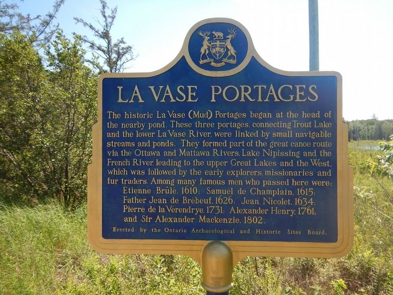
La Vase Portages
Father Jean de Brébeuf, 1626; Jean Nicolet, 1634;
Pierre de la Vérendrye, 1731; Alexander Henry, 1761;
and Sir Alexander MacKenzie, 1802.
Erected by Ontario Archaeological and Historic Sites Board.
Topics. This historical marker is listed in these topic lists: Exploration • Waterways & Vessels.
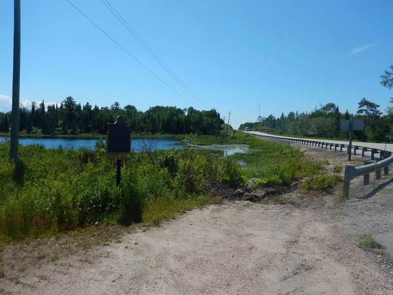
Location. 46° 18.166′ N, 79° 23.048′ W. Marker is near North Bay, Ontario, in Nipissing District. Marker is on Trans-Canada Highway (Provincial Highway 17) 3.5 kilometers east of Provincial Highway 11, on the right when traveling east. Marker is located in a pull-out 3.5 km east of the Highway 11/17 junction. Touch for map. Marker is in this post office area: North Bay ON P0H 1K0, Canada. Touch for directions.
Other nearby markers. At least 8 other markers are within 6 kilometers of this marker, measured as the crow flies. Nipissing District North Bay Jail (approx. 4.4 kilometers away); Veterans Fields (approx. 5.5 kilometers away); The Bomarc Missile (approx. 5.5 kilometers away); The CF100 Canuck (approx. 5.6 kilometers away); Jean Nicolet (approx. 5.6 kilometers away); Gateway of the North Arch (approx. 5.6 kilometers away); Golf Street / Lee Park (approx. 5.8 kilometers away); The Ontario Northland Railway (approx. 5.8 kilometers away). Touch for a list and map of all markers in North Bay.
Credits. This page was last revised on October 23, 2019. It was originally submitted on August 28, 2017, by Kevin Craft of Bedford, Quebec. This page has been viewed 271 times since then and 18 times this year. Photos: 1, 2. submitted on August 28, 2017, by Kevin Craft of Bedford, Quebec.

