College Hill in Providence in Providence County, Rhode Island — The American Northeast (New England)
Witness to History
Roger Williams National Memorial
— National Park Service, U.S. Department of the Interior —
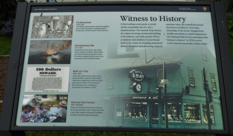
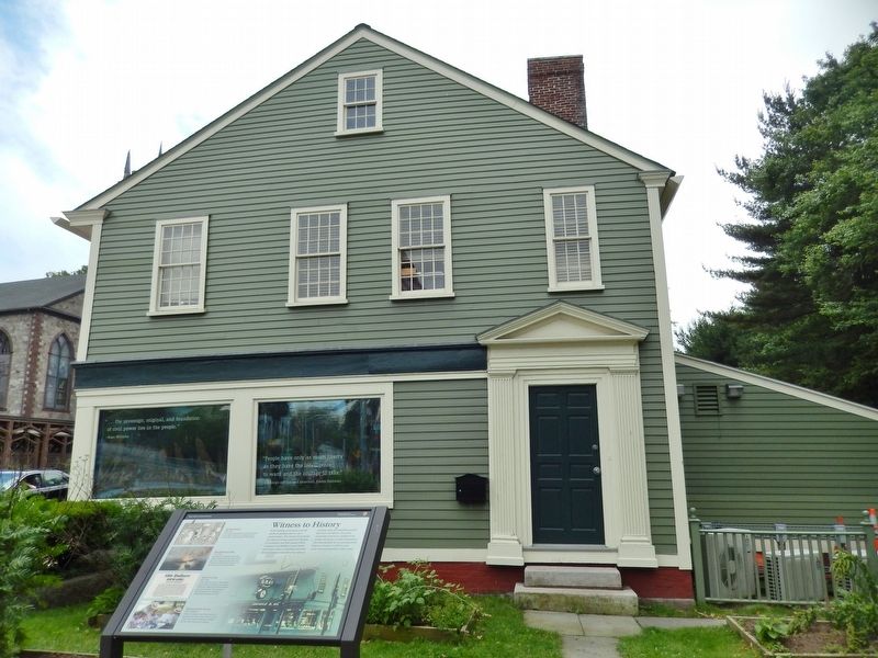
If this building could speak, it would tell the remarkable tale of a city’s transformation. The Antram-Gray House, the oldest surviving commercial building in Providence, was built around 1730 as a residence and distillery. It soon found itself at the center of a bustling waterfront district. As inland manufacturing replaced maritime trade, the waterfront around the house was filled in. Over time, ownership of the house changed from wealthy merchants to small businessmen. The National Park Service purchased this “witness to history” in 1974 to serve as the national memorial’s visitor center.
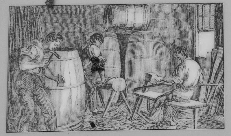
Pre-Revolution
1738 – 1765
The William Antram family operated a distillery here in early Providence’s maritime district. At that time, a wharf was part of the house lot.
Revolutionary War
1772 – 1783
During the war, the house was a shop where residents could buy milk, cheese, and French brandy among other items. Providence emerged from the war as the commercial center of Rhode Island.
Birth of a City
1831 – 1832
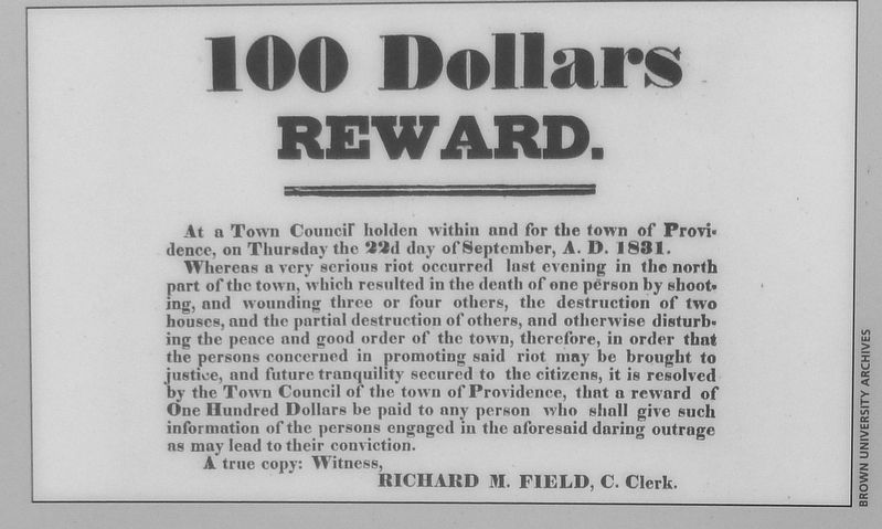
A four-day clash between white sailors and local black residents of the nearby Snowtown neighborhood left four dead and many wounded. The Snowtown Riot motivated town residents to incorporate Providence in 1832.
National Park Service
1965 – present
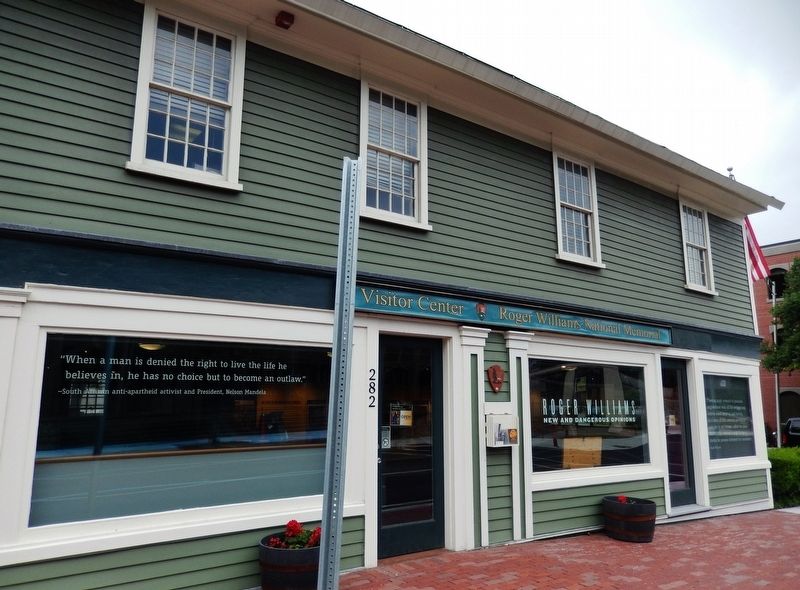
Today, the Antram-Gray House serves as the memorial visitor center. Stop in to view a short film, explore interpretive exhibits, and find out about special programs.
Erected by National Park Service, U.S. Department of the Interior.
Topics. This historical marker is listed in these topic lists: African Americans • Colonial Era • Settlements & Settlers • War, US Revolutionary.
Location. 41° 49.886′ N, 71° 24.647′ W. Marker is in Providence, Rhode Island, in Providence County. It is in College Hill. Marker is at the intersection of North Main Street (U.S. 44) and North Main Street, on the right when traveling east on North Main Street. Marker is located on the north side of the Antram-Gray House. Touch for map. Marker is at or near this postal address: 282 North Main Street, Providence RI 02903, United States of America. Touch for directions.
Other nearby markers. At least 8 other markers are within walking distance of this marker. A Place for Your Ideas (a few steps from this marker); Snowtown Riot 1831 (within shouting distance of this marker); Gabriel Bernon (within shouting distance of this marker); Seasonal Gathering (within shouting distance of this marker); The Cathedral of St. John (within shouting distance of this marker);
Roger Williams National Memorial (within shouting distance of this marker); The Wellspring of Providence (about 300 feet away, measured in a direct line); The Original Water Supply (about 300 feet away). Touch for a list and map of all markers in Providence.
Also see . . .
1. Antram-Gray House.
The Antram-Gray House, which serves as the visitor center for Roger Williams National Memorial, is located at the northeast corner of the park at the corner of North Main and Smith Streets. It is an early 18th century structure with a late 18th century addition. The original, north portion of the house was built c. 1730 on the west, or water, side of North Main Street, a very early road originally called Towne Street. This portion of the house is one of the few structures in Providence that survive from the city's earliest period of commercial and maritime development. (Submitted on August 30, 2017, by Cosmos Mariner of Cape Canaveral, Florida.)
2. How Two Riots Made Providence a City.
Providence’s population, both enslaved and free, was growing quickly in the early 1800s as more and more trade came to the port. But small towns controlled the legislature and prevented Providence from assuming the status (and legislative clout) of an official city. Free blacks lived in the places they could afford – neighborhoods where real estate, much of it owned by white absentee landlords, was cheap, and where bars, dance halls and brothels that catered to sailors who worked at the port. Two of these neighborhoods were Hardscrabble and Snowtown, the sites of violent riots in 1824 and 1831 in which white mobs torched houses where blacks were living. After several days of mass property destruction in Snowtown by whites, the governor and the sheriff eventually ordered in the militia. Dismayed by the scale of public disorder, the Town Council passed a charter that created the office of mayor and made Providence, finally, a city. (Submitted on August 30, 2017, by Cosmos Mariner of Cape Canaveral, Florida.)
3. Snow Town riot of 1831.
A major confrontation between local blacks and whites occurred during a four-day period between September 21 and 24, 1831. On the evening of Wednesday, September 21st a brawl between white sailors and blacks living along Olney Street (near the corner of North Main) escalated into gun fire with one white being fatally shot. (Submitted on August 30, 2017, by Cosmos Mariner of Cape Canaveral, Florida.)
Credits. This page was last revised on May 7, 2023. It was originally submitted on August 30, 2017, by Cosmos Mariner of Cape Canaveral, Florida. This page has been viewed 287 times since then and 12 times this year. Photos: 1, 2, 3, 4, 5, 6. submitted on August 30, 2017, by Cosmos Mariner of Cape Canaveral, Florida. • Bill Pfingsten was the editor who published this page.
