Near Buena Vista in Chaffee County, Colorado — The American Mountains (Southwest)
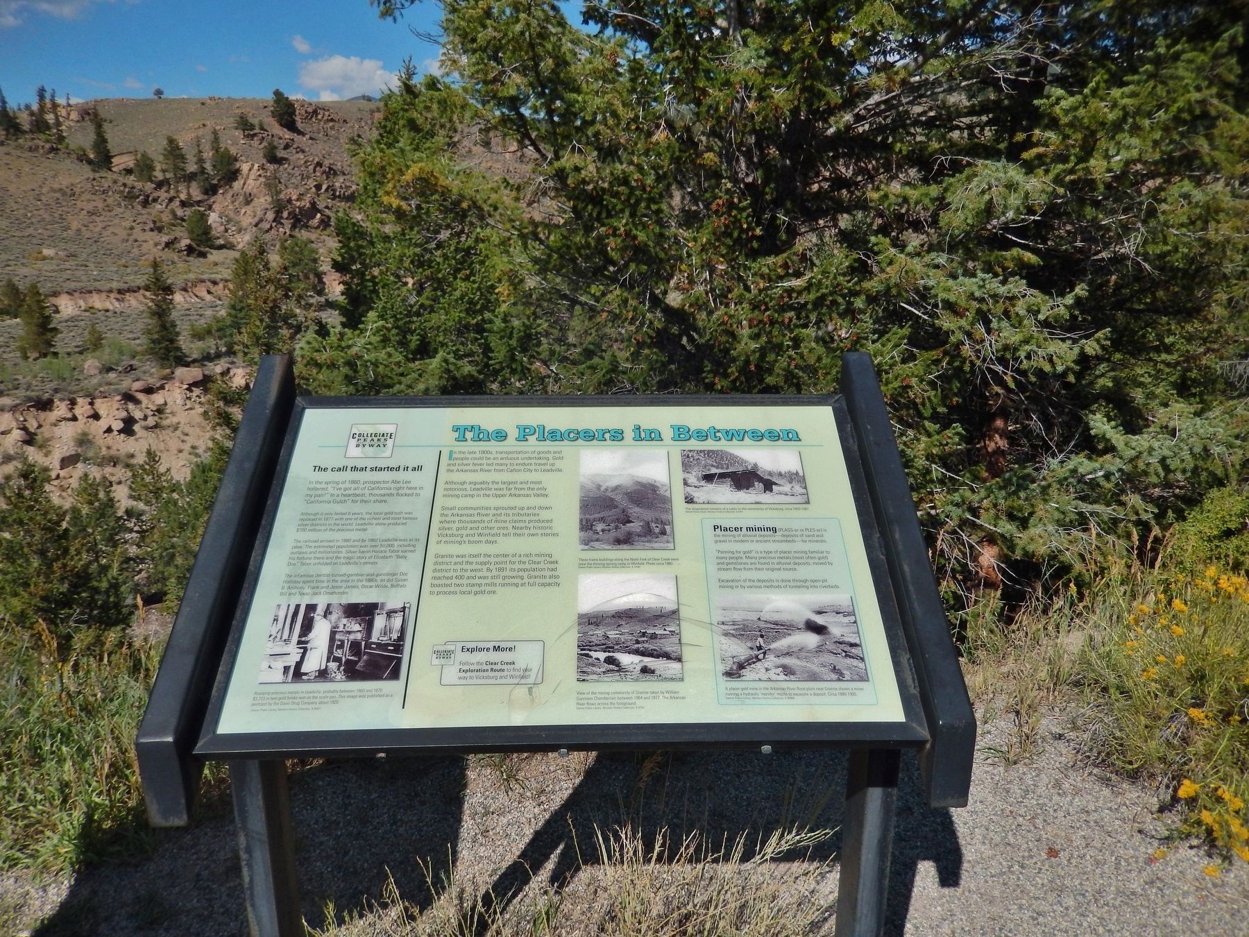
The Placers In Between
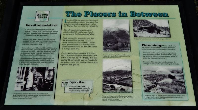
In the late 1800’s, transportation of goods and people could be an arduous undertaking. Gold and silver fever led many to endure travel up the Arkansas River from Canon City to Leadville.
Although arguably the largest and most notorious, Leadville was far from the only mining camp in the Upper Arkansas Valley.
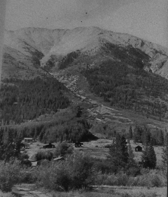
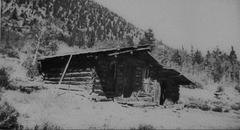
Small communities sprouted up and down the Arkansas River and its tributaries where thousands of mine claims produced silver, gold and other ores. Nearby historic Vicksburg and Winfield tell their own stories of mining’s boom days.
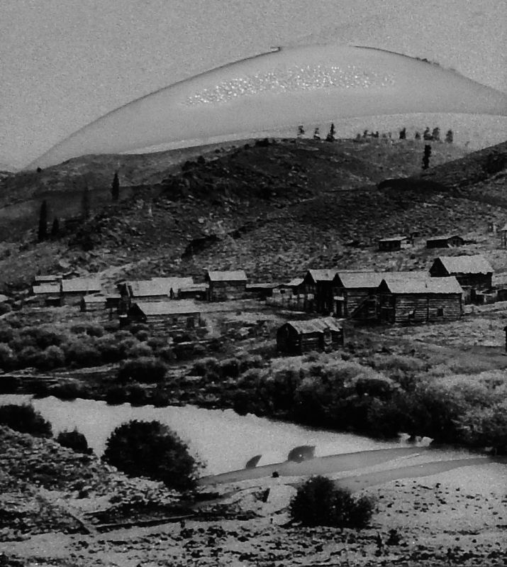
Granite was itself the center of a rich mining district and the supply point for the Clear Creek district to the west. By 1891 its population had reached 400 and was still growing. Granite also boosted two stamp mills running at full capacity to process local gold ore.
The Call that Started it All
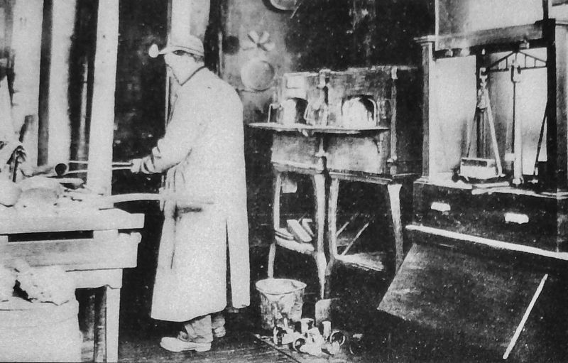
In the Spring of 1860, prospector Abe Lee hollered, “I’ve got all of California right here in my pan!” In a heartbeat, thousands flocked to “California Gulch” for their share.
Although it only lasted 6 years, the local gold rush was replaced in 1877 with one of the richest and most famous silver districts in the world. Leadville alone produced $700 million of the precious metal.
The railroad arrived in 1880 and by 1882 Leadville was at its peak. The estimated population was over 50,000, including outlaws and millionaires. Silver baron Horace Tabor earned his fortune there and the tragic story of Elizabeth “Baby Doe” Tabor unfolded on Leadville’s streets.
The infamous dentist-turned-gambler-and-gunslinger Doc Holliday spent time in the area in the 1880’s, as did Susan B. Anthony, Frank and Jessie James, Oscar Wilde, Buffalo Bill and Texas Jack Omahundro.
Placer mining
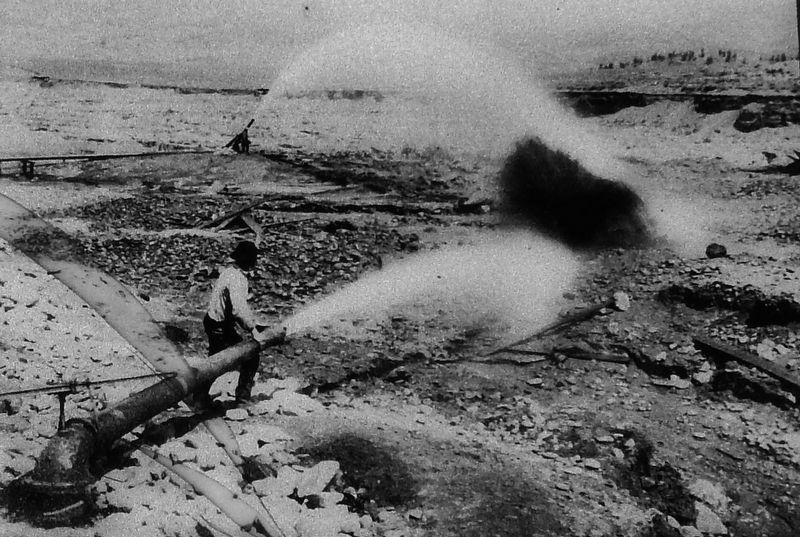
(PLASS-er or PLES-er) is the mining of alluvial deposits – deposits of sand and gravel in modern or ancient streambeds – for minerals.
“Panning for gold” is a type of placer mining familiar to many people. Many precious metals (most often gold) and gemstones are found in alluvial deposits, moved by stream flow from their original source.
Evacuation of the deposits is done through open-pit mining or by various methods of tunneling into riverbeds.
Topics and series. This historical marker is listed in these topic lists: Industry & Commerce • Settlements & Settlers • Waterways & Vessels. In addition, it is included in the Susan B. Anthony series list.
Location. 39° 2.029′ N, 106° 15.428′ W. Marker is
near Buena Vista, Colorado, in Chaffee County. Marker is on U.S. 24, one mile east of County Highway 397, on the left when traveling east. Marker is located in a pull-out area overlooking the Arkansas River, on the north side of US Highway 24. Touch for map. Marker is in this post office area: Buena Vista CO 81211, United States of America. Touch for directions.
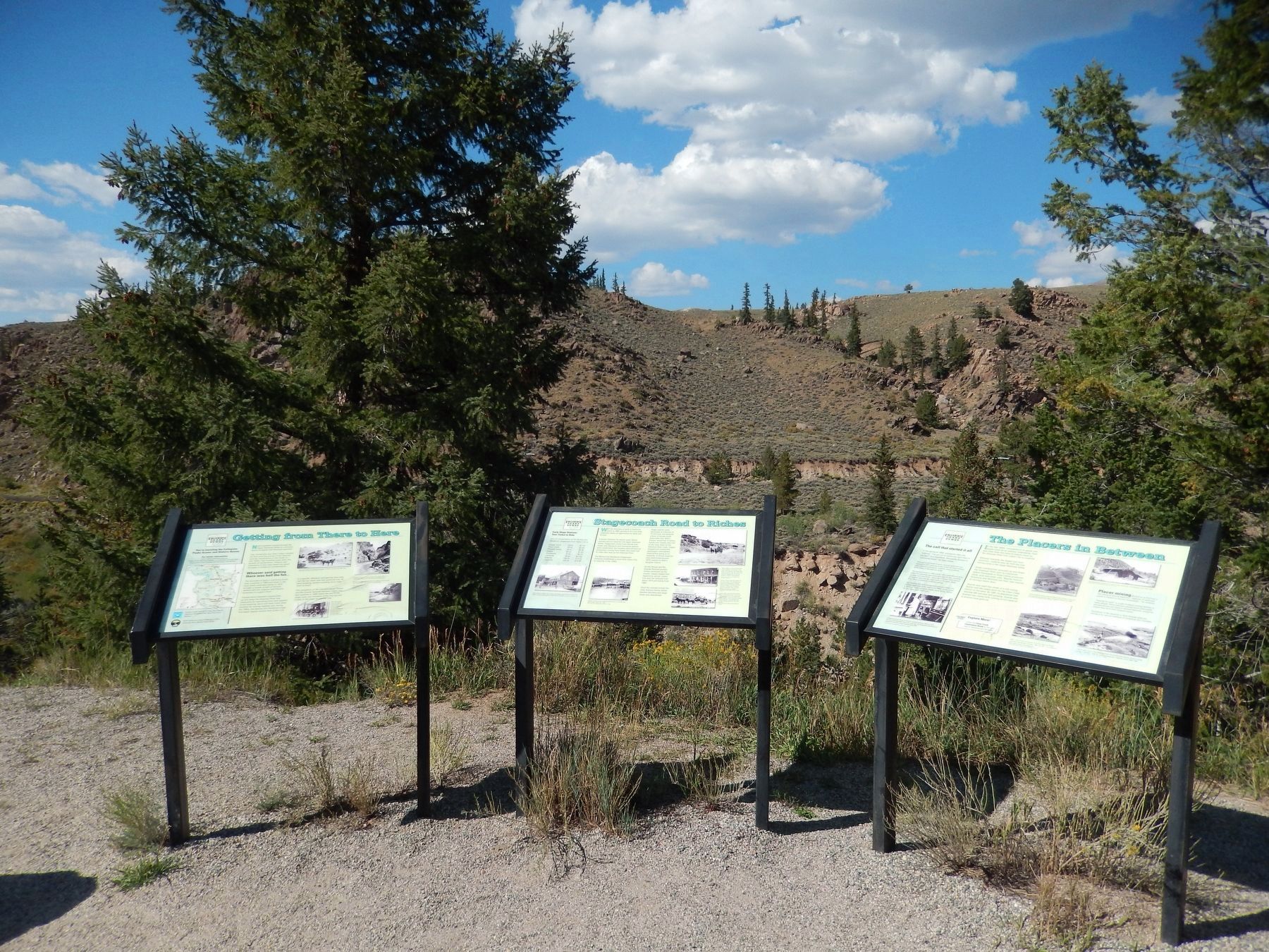
Other nearby markers. At least 2 other markers are within walking distance of this marker. Stagecoach Road to Riches (here, next to this marker); Getting from There to Here (here, next to this marker).
More about this marker. Marker is associated with Colorado's Collegiate Peaks Scenic and Historic Byway. Marker is relatively new and in good condition.
Related markers. Click here for a list of markers that are related to this marker. Colorado's Collegiate Peaks Scenic and Historic Byway
Also see . . .
1. Leadville's Rich Colorado History.
Roughly 8,000 prospectors arrived in "Oro City," their name for the makeshift town of tents and cabins. During the next five years, more than $4 million worth of gold was discovered using sluice and pan — more than at any other Colorado site. Within five years, however, the gold was playing out. The next boom would be silver. By 1880, Leadville had more than 30,000 residents, innumerable stores, hotels, boarding houses and, of course, more
than 100 saloons, dance halls, gambling joints and brothels. (Submitted on September 2, 2017, by Cosmos Mariner of Cape Canaveral, Florida.)
2. Vicksburg, Colorado ghost town.
Vicksburg was founded in 1867 after prospectors from Leadville, Colorado camping out in the Clear Creek Canyon lost their burros. The burros had wandered down the creek and when the miners found their pack animals, they discovered gold in the creek bed as well. (Submitted on September 2, 2017, by Cosmos Mariner of Cape Canaveral, Florida.)
3. Granite: A Historic Town In Chaffee County, Colorado.
Granite is one of those tiny towns you may have driven through on your way to Aspen, Leadville or some other Rocky Mountain destination. This was once a bustling mining town and the county seat of Lake County in the late 1800s, when Lake and Chaffee counties were one. Once the mining played out and most people left, Granite gained the feel of a "ghost town." In fact, there are only six year-round residents who call this place home. (Submitted on September 2, 2017, by Cosmos Mariner of Cape Canaveral, Florida.)
4. Placer Mining.
Placer mining is the mining of alluvial sediments for minerals. This may be through by open-pit (also known as open-cast mining) or by a variety of forms of tunneling into antique riverbeds. Excavation might be achieved using water pressure (hydraulic mining), layer digging
out equipment or tunneling equipment. (Submitted on September 2, 2017, by Cosmos Mariner of Cape Canaveral, Florida.)
Credits. This page was last revised on October 7, 2020. It was originally submitted on September 2, 2017, by Cosmos Mariner of Cape Canaveral, Florida. This page has been viewed 320 times since then and 25 times this year. Photos: 1, 2, 3, 4, 5. submitted on September 2, 2017, by Cosmos Mariner of Cape Canaveral, Florida. 6. submitted on September 18, 2017, by Cosmos Mariner of Cape Canaveral, Florida. 7. submitted on September 2, 2017, by Cosmos Mariner of Cape Canaveral, Florida. 8. submitted on September 18, 2017, by Cosmos Mariner of Cape Canaveral, Florida. • Bill Pfingsten was the editor who published this page.
