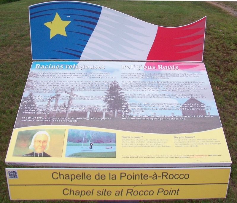
Chapelle de la Pointe-à-Rocco / Chapel site at Rocco Point
Racines religieuses / Religious Roots
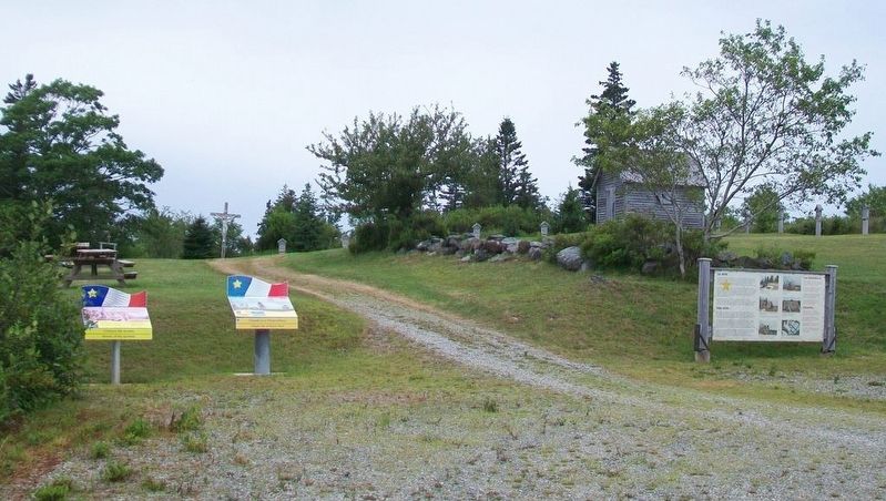
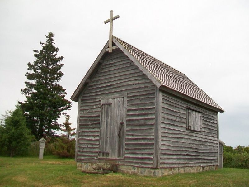
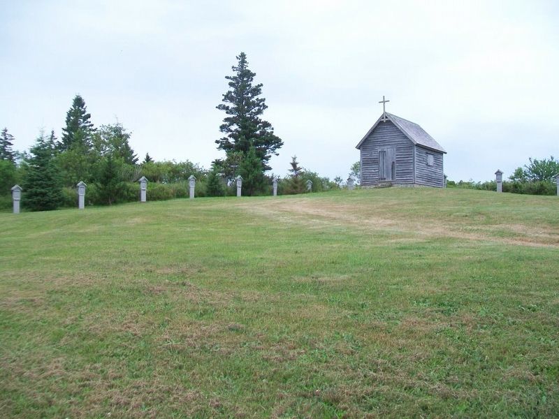
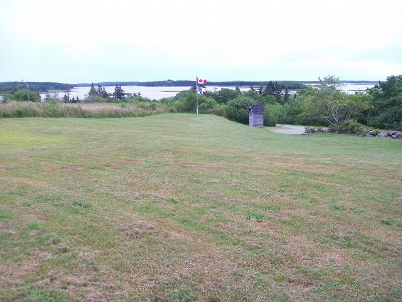
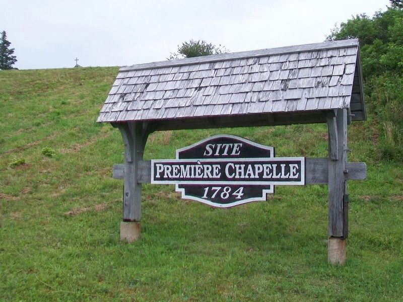
La chapelle originale fut construite sur le site en 1784. La vue sur la colline est superbe. Vous pouvez facilement imaginer l'arrivée des fidèles à la messe à pied, à cheval, par bateau, ou par attelage de bœufs.
Après son arrivée de France en 1799, le Père Jean-Mandé Sigogne a fondé la paroisse Sainte-Anne. Il fut un personnage imposant qui a répondu aux besoins spirituels des Acadiens et des Mi'kmaq jusqu'à sa mort en 1844. Malgré son caractère entêté et intransigeant, il avait une vision de sa mission et il fut très dévoué envers ses paroissiens de Clare et d'Argyle.
La chapelle a servi la paroisse jusqu'au début des années 1880, alors qu'une plus grande église fut construite à Sainte-Anne-du-Ruisseau, à peine un mille d'ici.
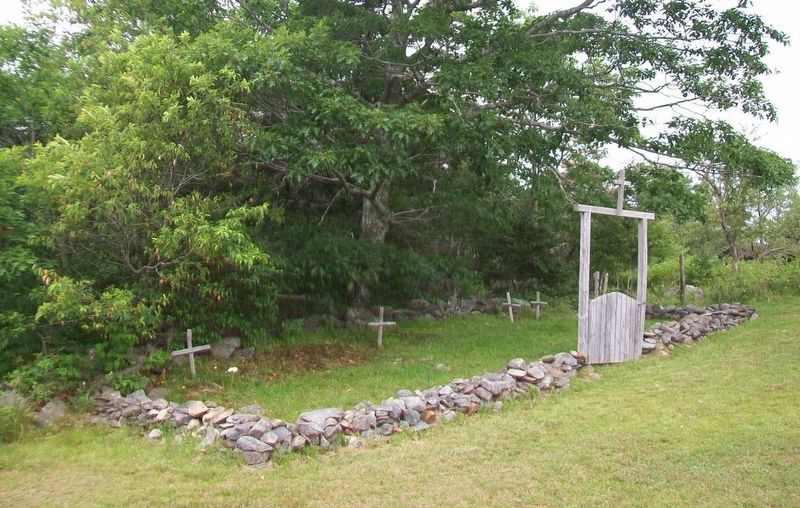
En 1997 des fouilles archéologiques effectuées sur ce site ont découvert une fondation, quatre tombes et des artefacts. Au cours des deux années suivantes, les paroissiens ont développé le site es construit la chapelle.
Le 4 juillet 1999, une mise en scène de l'arrivée du Père Sigogne a souligné l'ouverture du site de la chapelle.
Saviez-vous ?
En plus de la chapelle, du chemin de la croix, du cimetière et de l'aire de pique-nique, un petit sentier en nature permet d'observer plusieurs espèces d'oiseaux attirés par les lieux.
Pour plus de renseignements sur l'Excursion
interprétive des côtes acadiennes consultez www.CotesacadiennesetYarmouth.comThe original chapel at this site was built in 1784. You'll love the vista from the hilltop. It's easy to imagine the faithful arriving by boat, horse, oxen and foot to celebrate mass.
In 1799 Father Jean-Mandé Sigogne founded the parish of Ste-Anne, after his arrival from France. He was a larger-than-life figure who served the spiritual needs of the Acadians and Mi'kmaq until his death in 1844. Although stubborn and uncompromising, he had great vision and was devoted to his parishioners in Argyle and Clare.
This chapel served the parish until the early 1800s when a larger church was constructed in Ste-Anne-du-Ruisseau, less than a mile away.
Fast forward to 1997. Archeological work was carried out on this site. Discoveries included a foundation, four graves and 192 artifacts. During the next two years, parishioners helped develop the site and build the chapel.
The arrival of Father Sigogne was re-enacted on July 4, 1999, part of the commemorative opening of the chapel site.
Do you know?
Along with the chapel, Stations of the Cross, graveyard and picnic area, the site has a short but spectacular nature trail and is a haven for several species of birds.
For more
Topics and series. This historical marker is listed in these topic lists: Churches & Religion • Colonial Era • Settlements & Settlers. In addition, it is included in the Acadian History series list. A significant historical year for this entry is 1784.
Location. 43° 49.671′ N, 65° 55.632′ W. Marker is in Rocco Point, Nova Scotia, in Yarmouth County. Marker can be reached from Rocco Point Road, 1.2 kilometers south of the Lighthouse Route (Nova Scotia Route 3). Touch for map. Marker is at or near this postal address: 259 Rocco Point Road, Rocco Point NS B0W 2X0, Canada. Touch for directions.
Other nearby markers. At least 8 other markers are within 5 kilometers of this marker, measured as the crow flies. L'histoire des Surette / History of the Surettes (here, next to this marker); Chapelle Site / Chapel Site (a few steps from this marker); Église Ste-Anne Church (approx. 1.3 kilometers away); Saint Anne Catholic Church Veterans Memorial (approx. 1.3 kilometers away); Barges de foin salé de Buttes-Amirault (approx. 4.1 kilometers away); Palais de justice et Prison d’Argyle / Argyle Township Court House and Gaol (approx. 4.8 kilometers away); Lost at Sea / Perdus en Mer (approx. 4.8 kilometers away); Argyle Township Court House and Gaol (approx. 4.8 kilometers away). Touch for a list and map of all markers in Rocco Point.
Also see . . .
1. Rocco Point Chapel and Nature Trail. (Submitted on September 24, 2017, by William Fischer, Jr. of Scranton, Pennsylvania.)
2. Yarmouth and Acadian Shores. (Submitted on September 26, 2017, by William Fischer, Jr. of Scranton, Pennsylvania.)
Credits. This page was last revised on September 28, 2017. It was originally submitted on September 24, 2017, by William Fischer, Jr. of Scranton, Pennsylvania. This page has been viewed 301 times since then and 30 times this year. Photos: 1, 2, 3, 4, 5, 6, 7. submitted on September 24, 2017, by William Fischer, Jr. of Scranton, Pennsylvania.
