Boxborough in Middlesex County, Massachusetts — The American Northeast (New England)
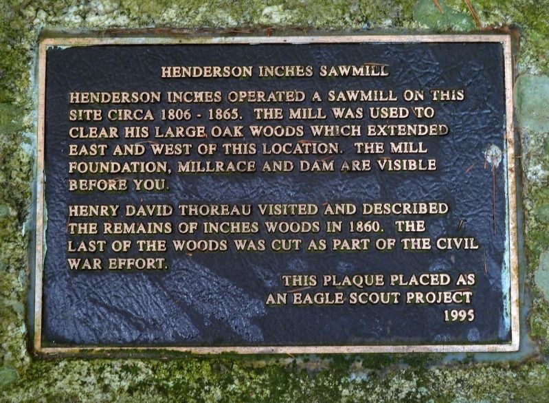
Henderson Inches Sawmill
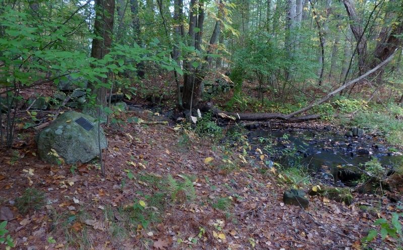
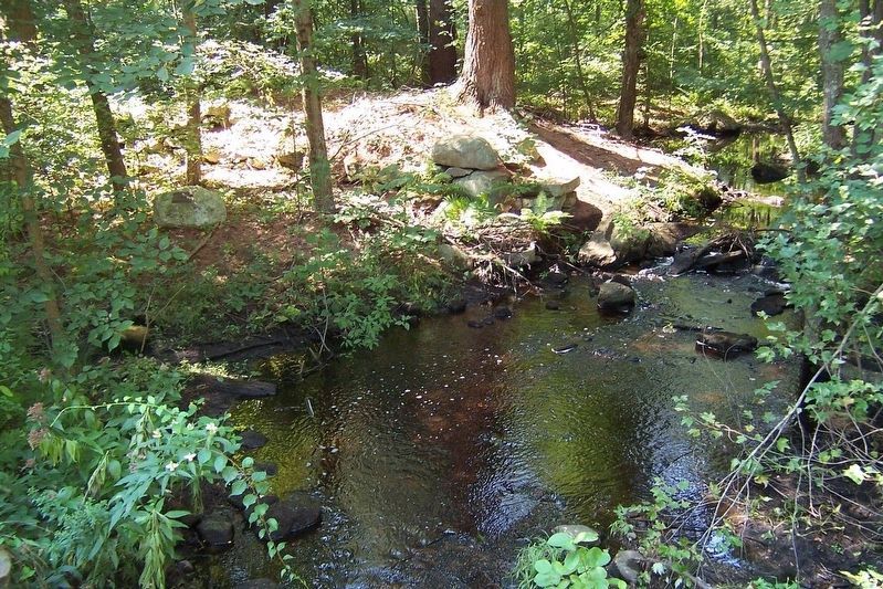
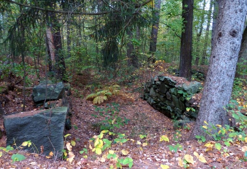
Henderson Inches operated a sawmill on this site circa 1806–1865. The mill was used to clear his large oak woods which extended east and west of this location. The mill foundation, millrace and dam are visible before you.
Henry David Thoreau visited and described the remains of Inches Woods in 1860. The last of the woods was cut as part of the Civil War effort.
Erected 1995 by an Eagle Scout project.
Topics. This historical marker is listed in these topic lists: Horticulture & Forestry • Industry & Commerce • War, US Civil.
Location. 42° 28.95′ N, 71° 29.717′ W. Marker is in Boxborough, Massachusetts, in Middlesex County. Marker is on Liberty Square Road, 0.2 miles north of Massachusetts Avenue (Massachusetts Route 111), on the left when traveling north. Marker is where Guggins Brook goes under Liberty Square Road, 200 feet before you come to Guggins Lane. Marker is not easily visible from the road because it is on a rock about 20 feet into the dense woods. Touch for map. Marker is in this post office area: Boxborough MA 01719, United States of America. Touch for directions.
Other nearby markers. At least 8 other markers are within 5 miles of this marker, measured as the crow flies. Faulkner Homestead (approx. 2.7 miles away); Stow (approx. 3.6 miles away); Captain Thomas Wheeler House (approx. 3.8 miles away); Harvard Civil War Monument (approx. 4.7 miles away); Harvard Veteran's Memorial (approx. 4.7 miles away); World War Memorial (approx. 4.7 miles away); Harvard Unitarian Universalist Church (approx. 4.8 miles away); Town of Harvard (approx. 4.8 miles away).
Also see . . .
1. Henry David Thoreau: Boxborough and and his visite to Inches Woods. Boxborough Historical Society Website entry:
Retrace his steps with an annotated map. (PDF) (Submitted on October 15, 2017, by Roger W. Sinnott of Chelmsford, Massachusetts.)
2. Henry David Thoreau, Tree-Hugger. Literary Hub Website entry:
An excerpt from Richard Higgins’ 2017 book, Thoreau and the Language of Trees. (Submitted on October 15, 2017, by Roger W. Sinnott of Chelmsford, Massachusetts.)
Credits. This page was last revised on March 20, 2021. It was originally submitted on October 15, 2017, by Roger W. Sinnott of Chelmsford, Massachusetts. This page has been viewed 344 times since then and 23 times this year. Photos: 1, 2, 3, 4. submitted on October 15, 2017, by Roger W. Sinnott of Chelmsford, Massachusetts. • Bernard Fisher was the editor who published this page.


