Burns Park in Ann Arbor in Washtenaw County, Michigan — The American Midwest (Great Lakes)
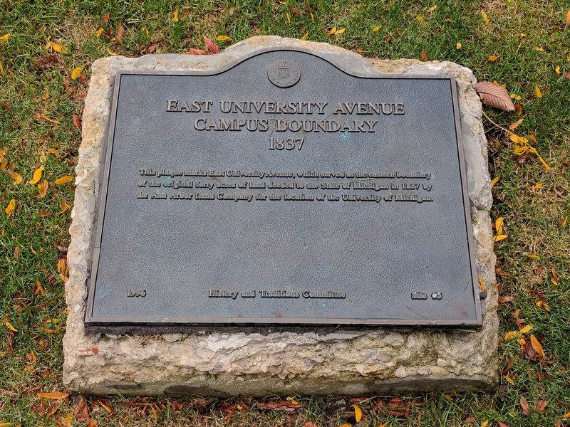
East University Avenue Campus Boundary
1837
Erected 1996 by History and Traditions Committee, University of Michigan. (Marker Number 5.)
Topics. This historical marker is listed in these topic lists: Education • Roads & Vehicles. A significant historical year for this entry is 1837.
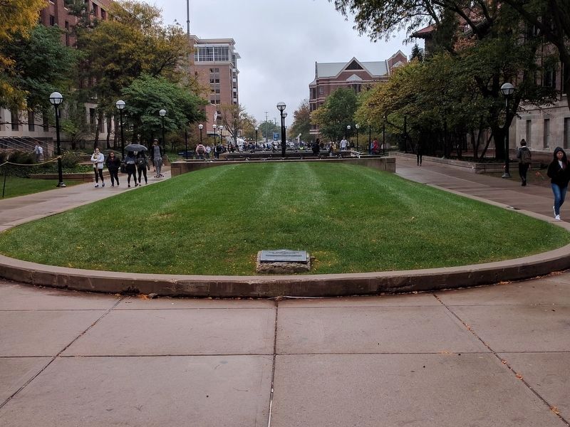
Location. 42° 16.575′ N, 83° 44.153′ W. Marker is in Ann Arbor, Michigan, in Washtenaw County. It is in Burns Park. Marker can be reached from the intersection of South University Avenue and East University Avenue. Marker is in a median in the sidewalk that once was East University Avenue, about 450 feet north of South University Avenue. Touch for map. Marker is in this post office area: Ann Arbor MI 48109, United States of America. Touch for directions.
Other nearby markers. At least 8 other markers are within walking distance of this marker. Michigan Summer Symposium in Theoretical Physics (within shouting distance of this marker); First Medical Buildings (within shouting distance of this marker); West Engineering - West Hall (about 300 feet away, measured in a direct line); The Denison Archway (about 300 feet away); Engineering at Michigan (about 300 feet away); The Corners of South University and East University Avenues (about 300 feet away); McDivitt-White Plaza (about 400 feet away); Social and Political Change on South University (about 400 feet away). Touch for a list and map of all markers in Ann Arbor.
Credits. This page was last revised on February 12, 2023. It was originally submitted on October 17, 2017, by Joel Seewald of Madison Heights, Michigan. This page has been viewed 212 times since then and 7 times this year. Photos: 1, 2. submitted on October 17, 2017, by Joel Seewald of Madison Heights, Michigan.

