Near Lenore in Clearwater County, Idaho — The American West (Mountains)
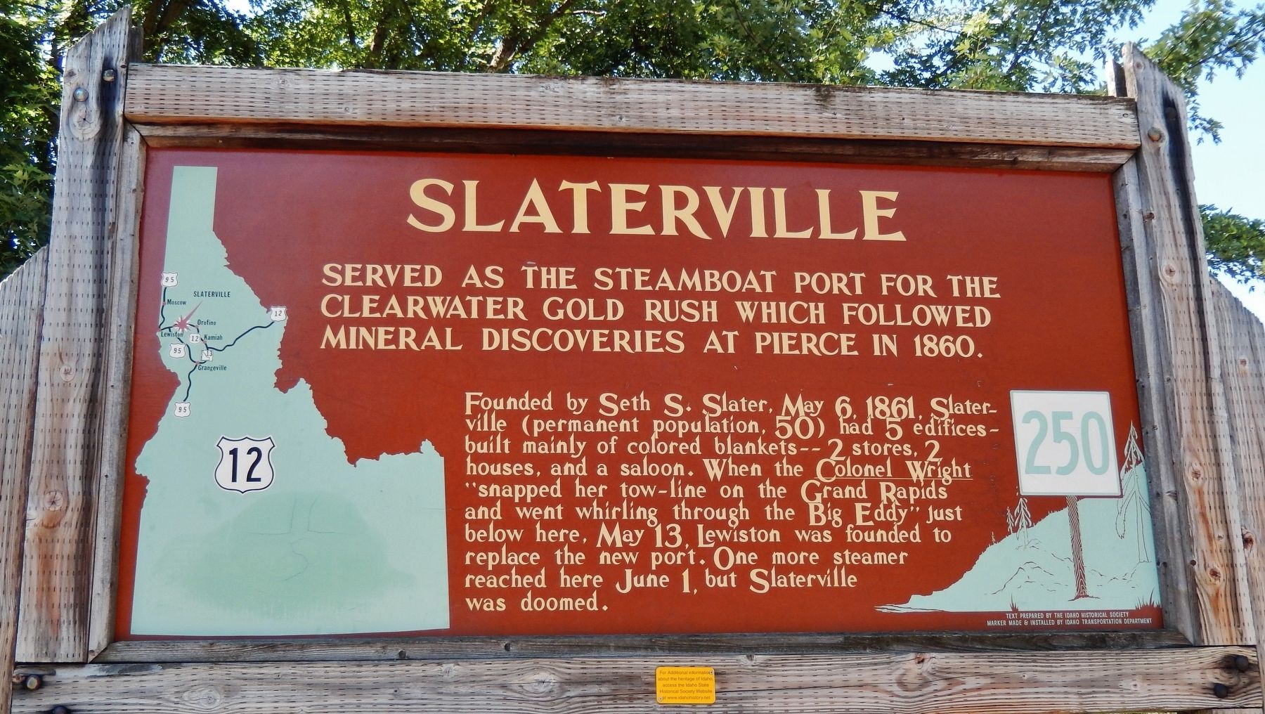
Slaterville
Served as the steamboat port for the Clearwater Gold Rush
— which followed mineral discoveries at Pierce in 1860 —
Erected by Idaho Historical Society & Idaho Transportation Department. (Marker Number 250.)
Topics and series. This historical marker is listed in these topic lists: Exploration • Settlements & Settlers • Waterways & Vessels. In addition, it is included in the Idaho State Historical Society series list. A significant historical date for this entry is May 6, 1861.
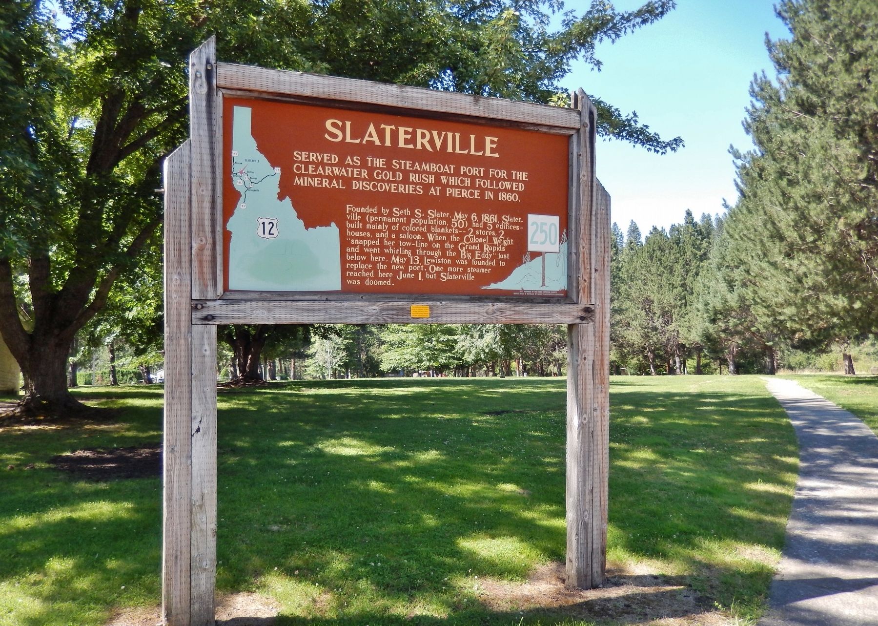
Location. 46° 30.671′ N, 116° 33.679′ W. Marker is near Lenore, Idaho, in Clearwater County. Marker is on U.S. 12, 0.6 miles west of Lenore Grade, on the right. Marker is located in the Lenore Rest Area, a pull-out and parking lot on the north side of US Highway 12, overlooking the Clearwater River. Touch for map. Marker is in this post office area: Lenore ID 83541, United States of America. Touch for directions.
Other nearby markers. At least 6 other markers are within 13 miles of this marker, measured as the crow flies. Nimiipuu Daily Life (a few steps from this marker); Indian Houses (about 600 feet away, measured in a direct line); Lenore Tram (approx. half a mile away); Culdesac (approx. 10.8 miles away); St. Joseph's Mission (approx. 12˝ miles away); Railroad Tunnels (approx. 12˝ miles away).
More about this marker. Large wooden marker in good condition
Credits. This page was last revised on November 30, 2017. It was originally submitted on November 8, 2017, by Cosmos Mariner of Cape Canaveral, Florida. This page has been viewed 252 times since then and 25 times this year. Last updated on November 27, 2017, by Cosmos Mariner of Cape Canaveral, Florida. Photos: 1, 2. submitted on November 8, 2017, by Cosmos Mariner of Cape Canaveral, Florida. • Bill Pfingsten was the editor who published this page.

